Project
Community
News
My App
My maps
Katalogisierte Karte
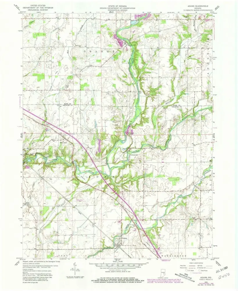
Adams
View on external website
View digitized
Einrichtung:
United States Geological Survey
Vollständiger Titel:
Adams
Jahr der Abbildung:
1959
Veröffentlichungsdatum:
1981
Maßstab der Karte:
1:24 000
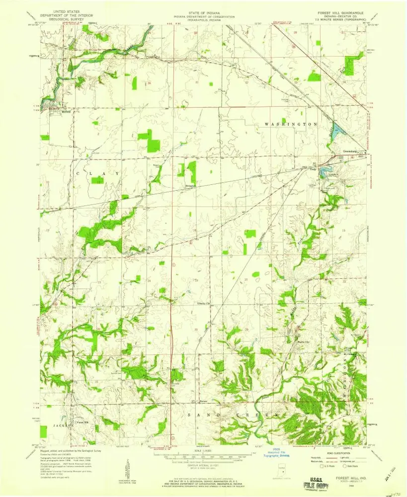
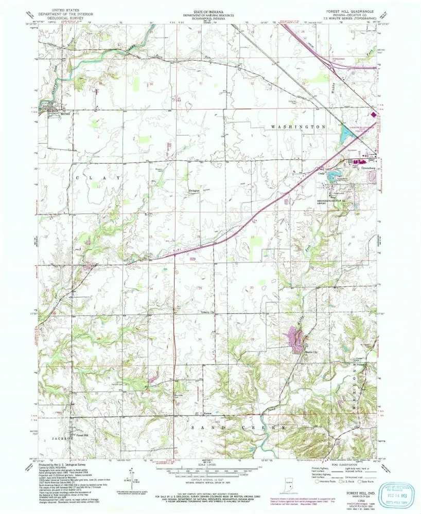
Forest Hill
1958
1:24k
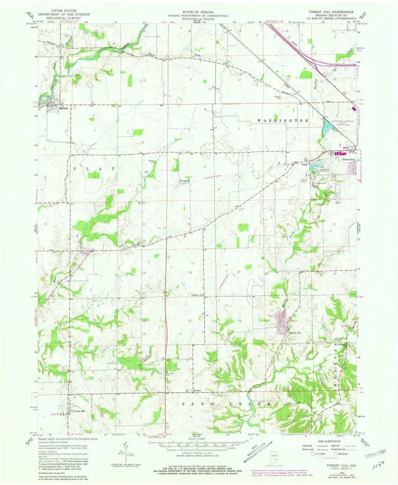
Forest Hill
1958
1:24k
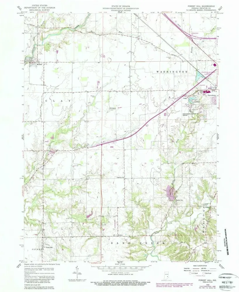
Forest Hill
1958
1:24k
Forest Hill
1958
1:24k
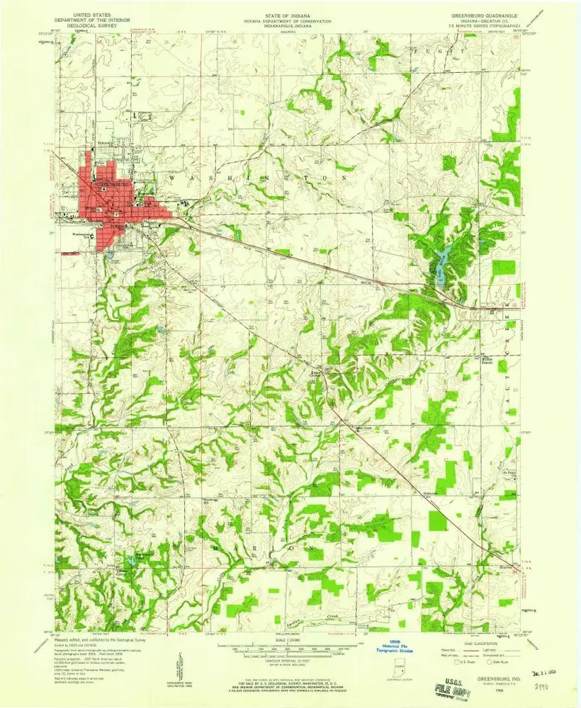
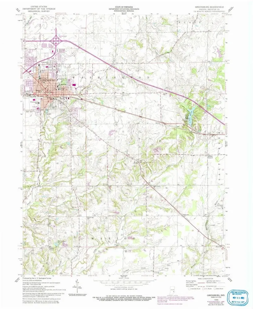
Greensburg
1958
1:24k
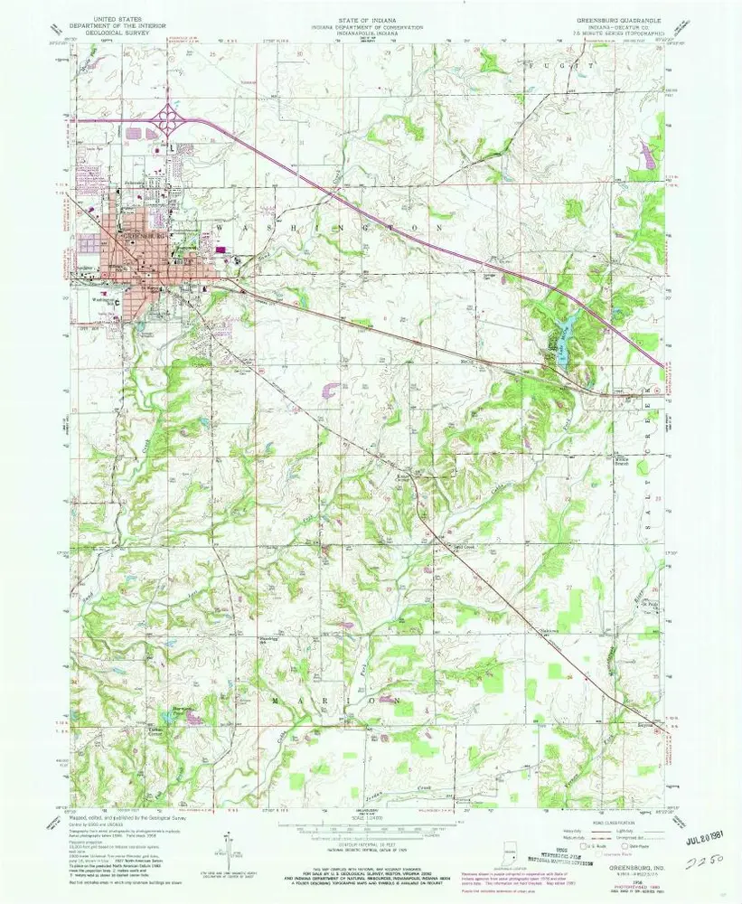
Greensburg
1958
1:24k
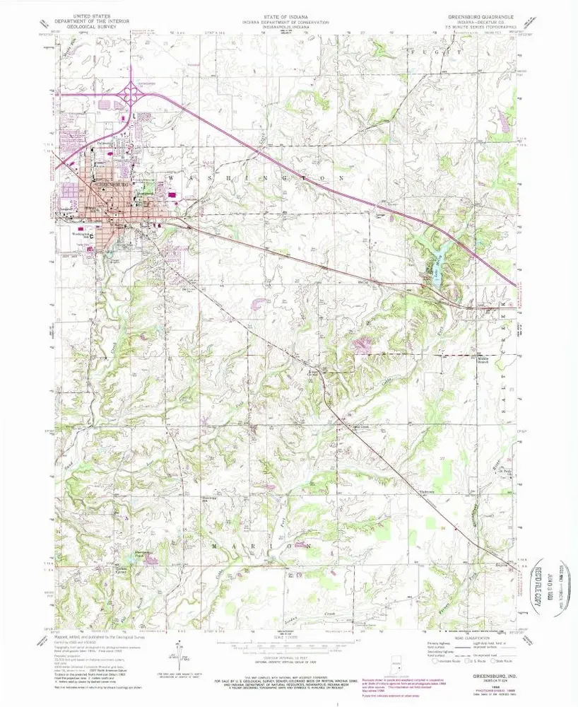
Greensburg
1958
1:24k
Greensburg
1958
1:24k
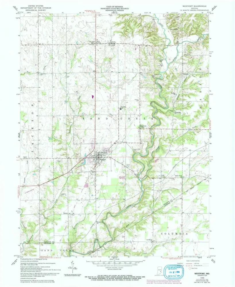
Westport
1958
1:24k
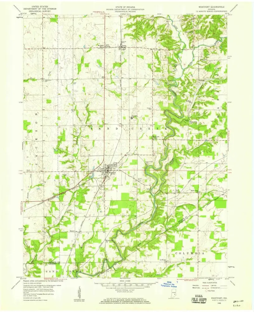
Westport
1958
1:24k
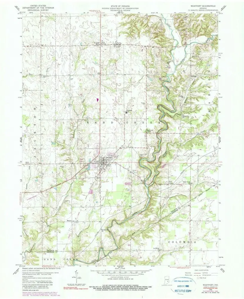
Westport
1958
1:24k
Westport
1958
1:24k
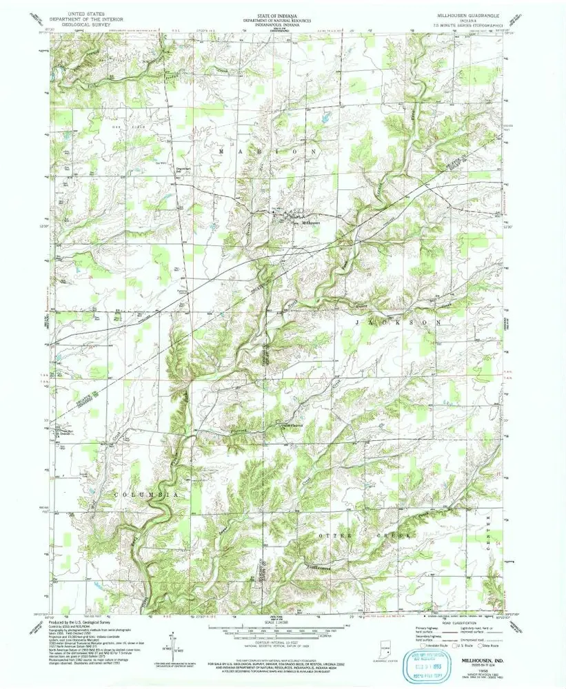
Millhousen
1958
1:24k
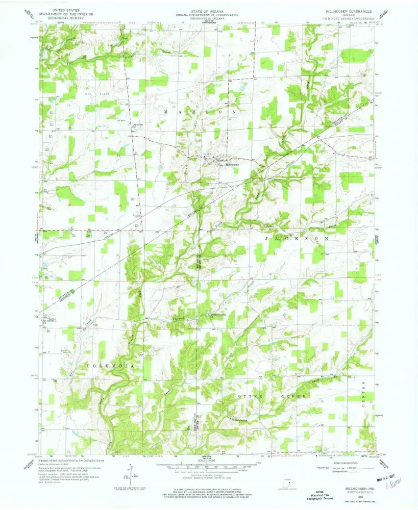
Millhousen
1958
1:24k
Millhousen
1958
1:24k
Geschichte