Project
Community
News
My App
My maps
Website map
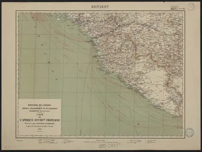
Carte de l'Afrique occidentale française. Konakry
View on external website
Institution:
Bordeaux Montaigne University
Full title:
Carte de l'Afrique occidentale française. Konakry
Depicted:
1908
Pubdate:
1908
Publisher:
[Paris] : Service géographique et des missions
Map scale:
1:2 000 000
Catalog
Bordeaux Montaigne University
1886.u-bordeaux-montaigne.fr
Maps of
Advanced search
All
Private
Favorites
No maps found for this area.
Please adjust the year or set different filters.
1600
1650
1700
1750
1800
1850
1900
1950
2000
Digitized
Webs
Cataloged
Time range
Attributes
Institutions
© MapTiler
© OpenStreetMap
Your browser does not support the video tag.
Slide through history
Use the slider to explore how the boundaries of countries, states, and empires have changed over time.