Project
Community
News
My App
My maps
Katalogisierte Karte
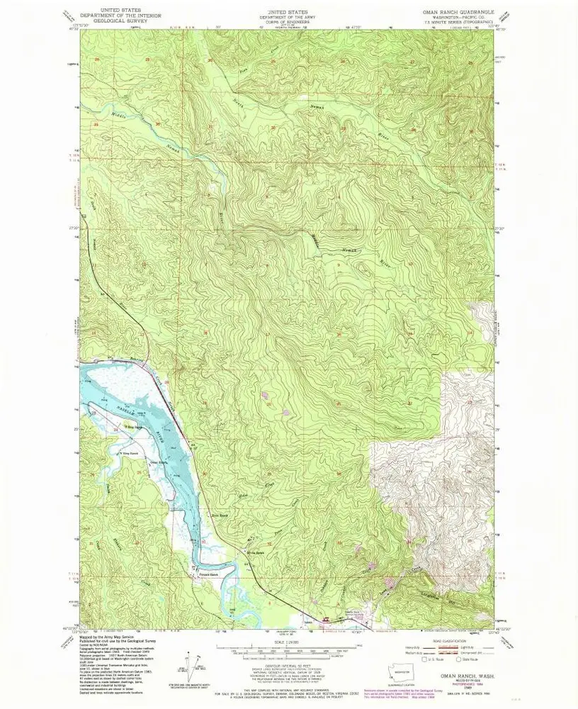
Oman Ranch
View on external website
View digitized
Einrichtung:
United States Geological Survey
Vollständiger Titel:
Oman Ranch
Jahr der Abbildung:
1949
Veröffentlichungsdatum:
1985
Maßstab der Karte:
1:24 000
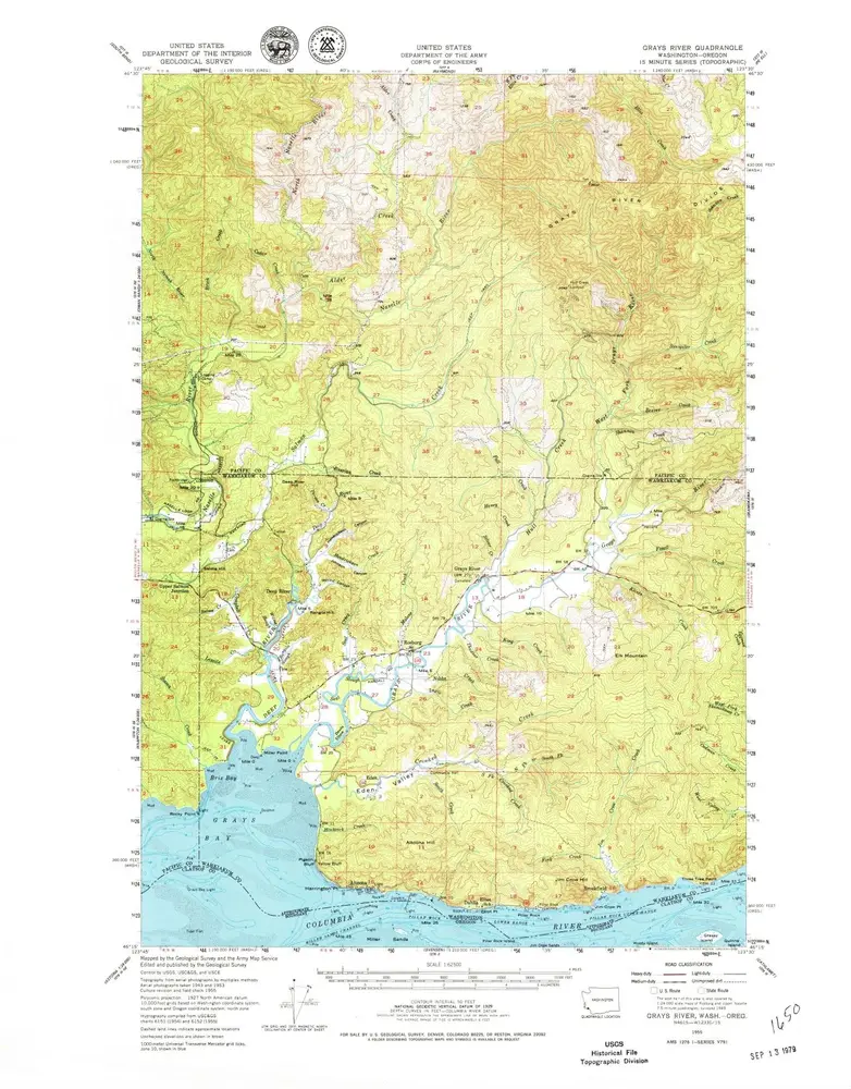
Grays River
1955
1:63k
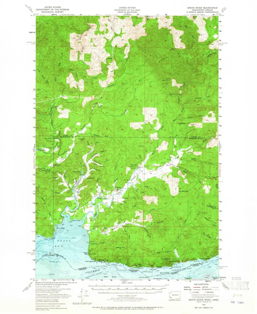
Grays River
1955
1:63k
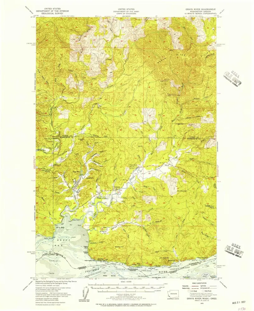
Grays River
1955
1:63k
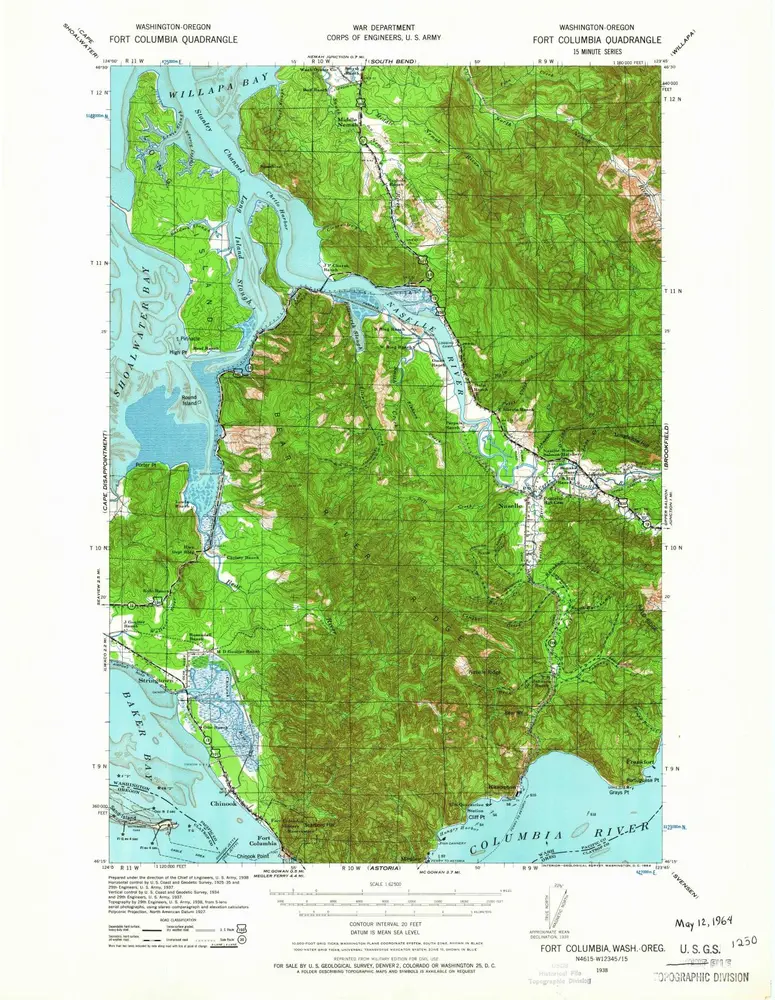
Fort Columbia
1943
1:63k
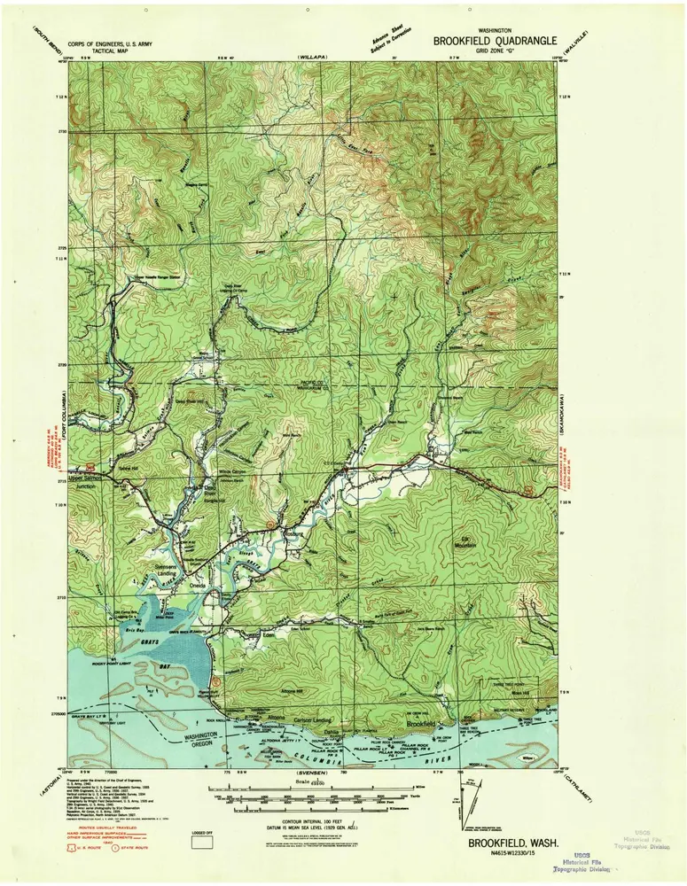
Brookfield
1940
1:63k
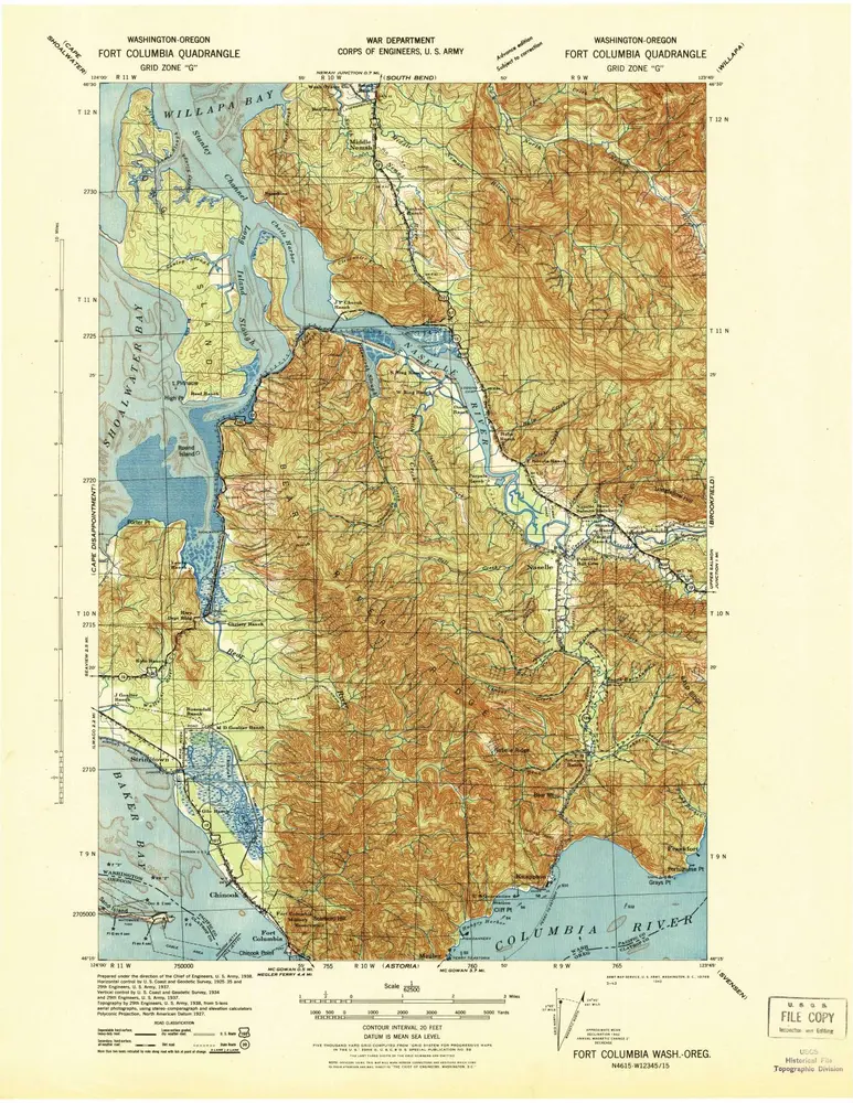
Fort Columbia
1938
1:63k
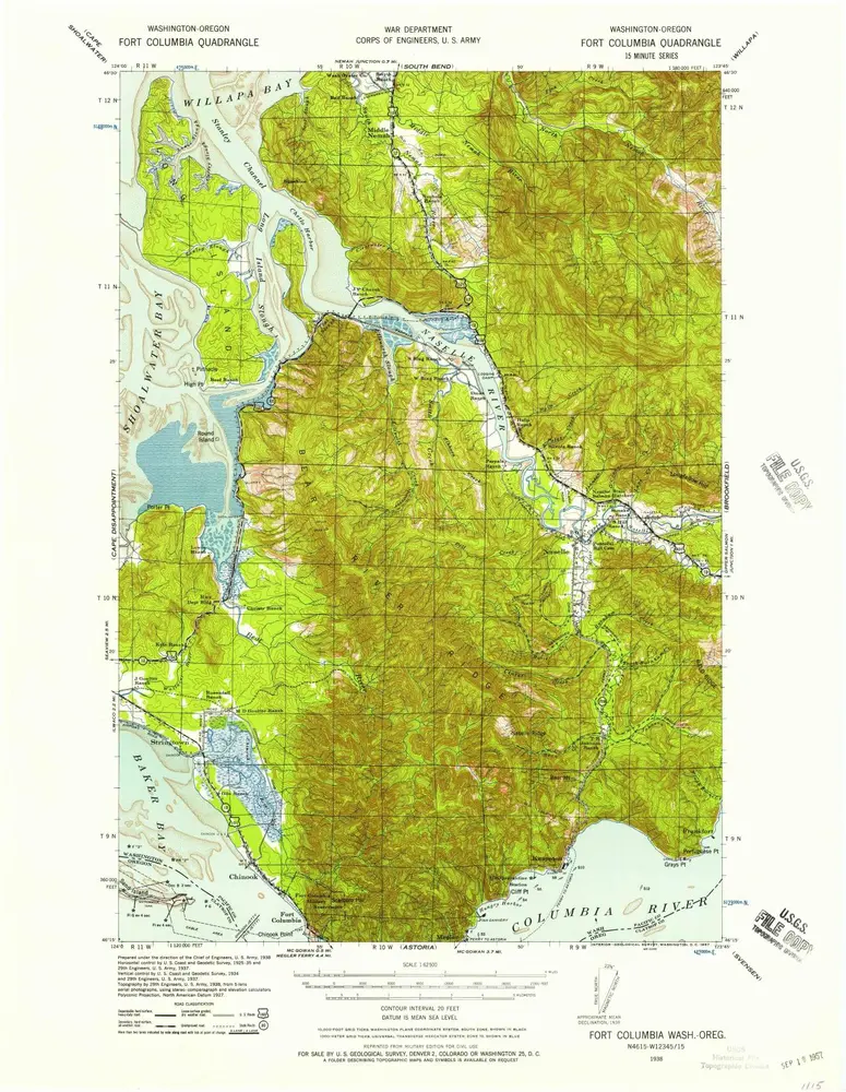
Fort Columbia
1938
1:63k
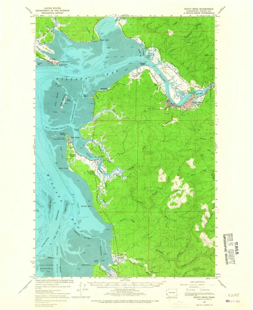
South Bend
1957
1:63k
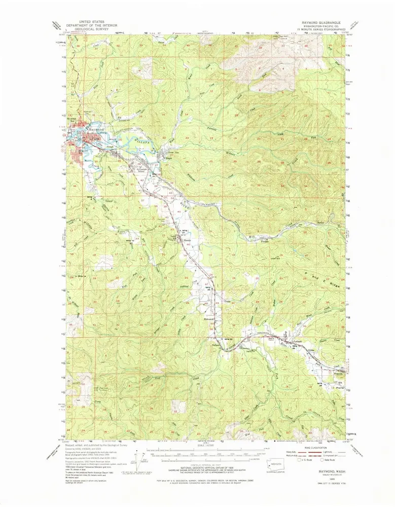
Raymond
1955
1:63k
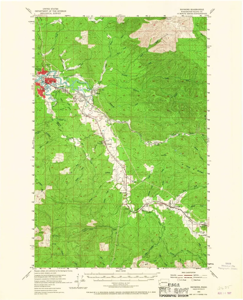
Raymond
1955
1:63k
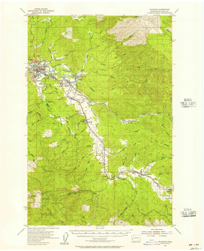
Raymond
1955
1:63k
South Bend
1940
1:63k
South Bend
1938
1:63k
Geschichte