Project
Community
News
My App
My maps
Carte cataloguée
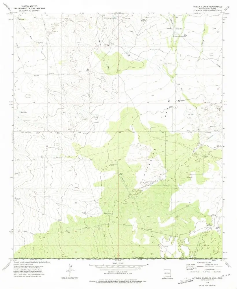
Javelina Basin
View on external website
Institution:
United States Geological Survey
Titre complet:
Javelina Basin
Année de l'image:
1973
Date de publication:
1975
Échelle de la carte:
1:24 000
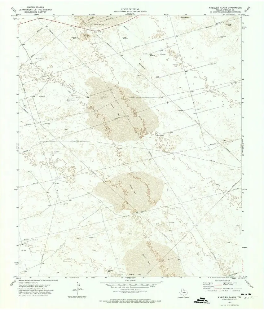
Wheeler Ranch
1971
1:24k
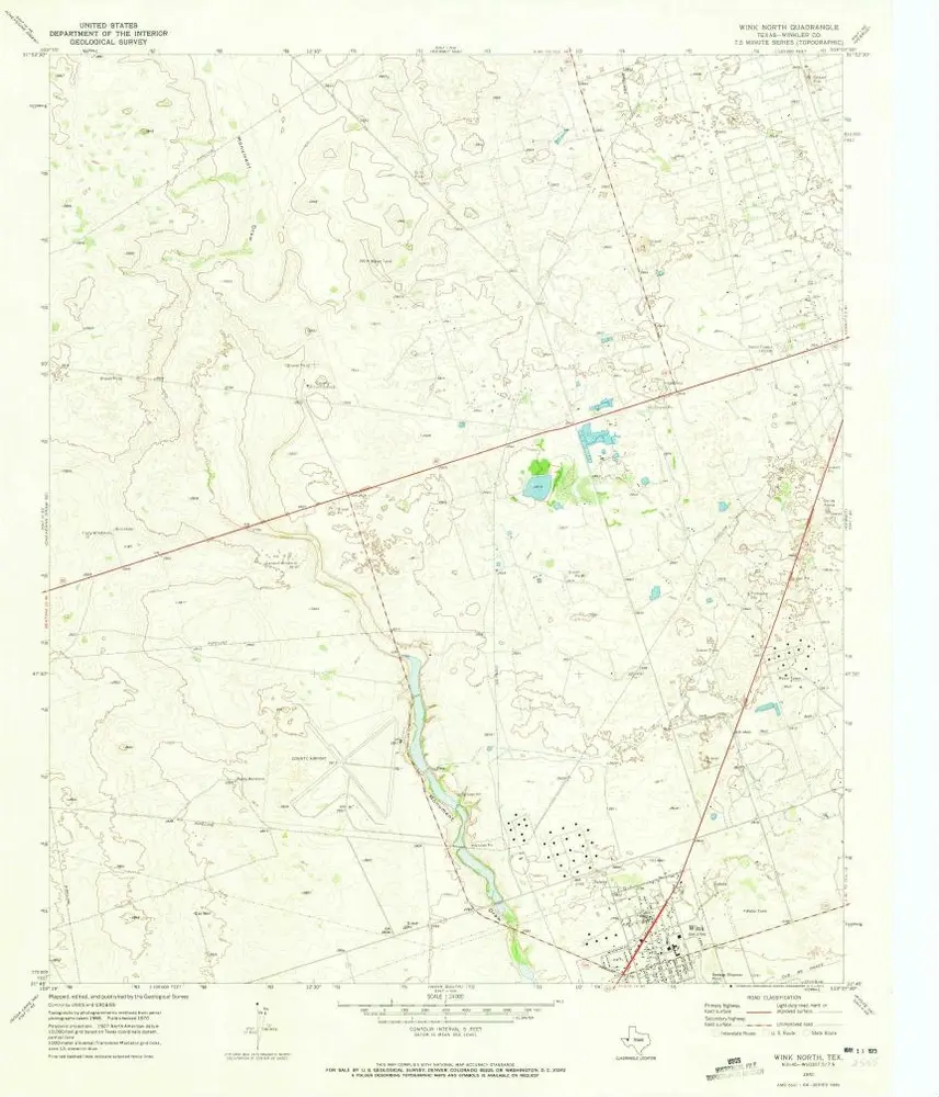
Wink North
1970
1:24k
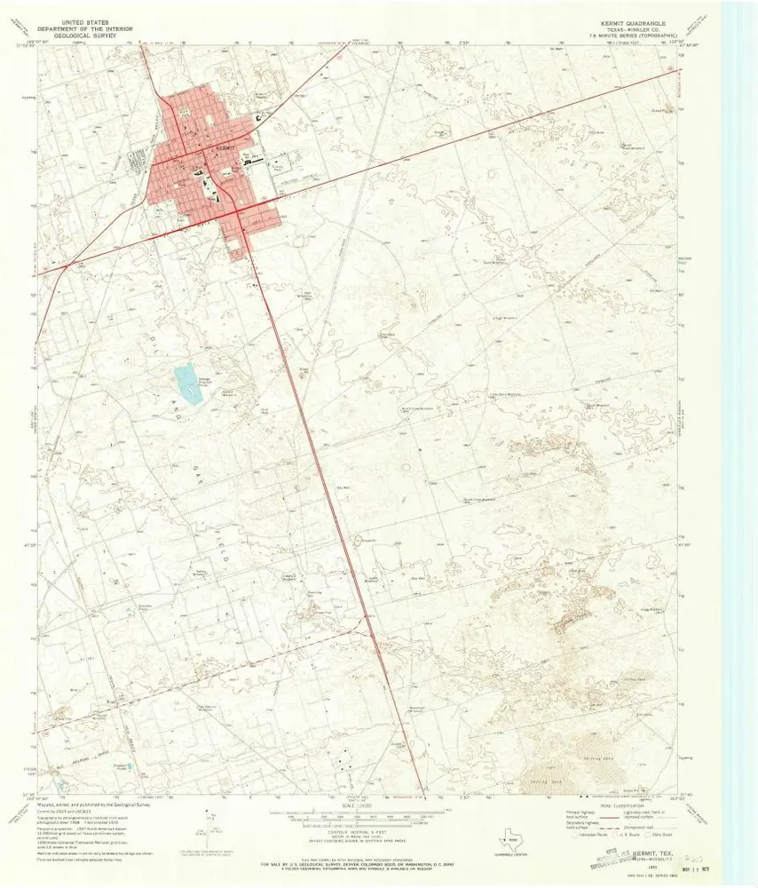
Kermit
1970
1:24k
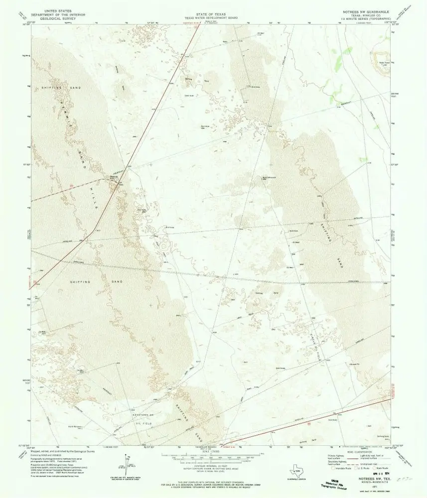
Notrees NW
1971
1:24k
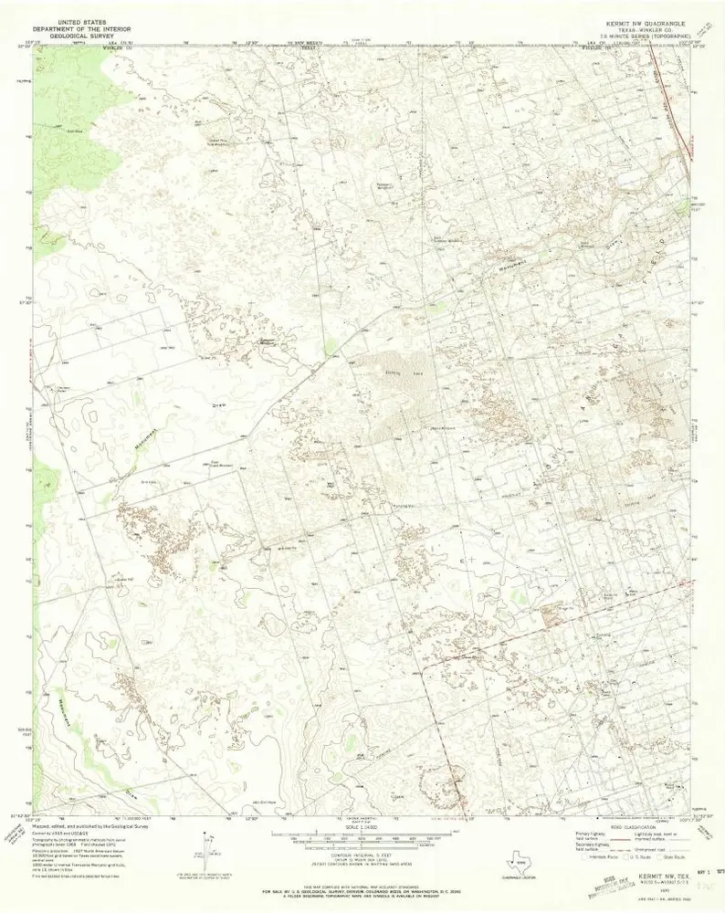
Kermit NW
1970
1:24k
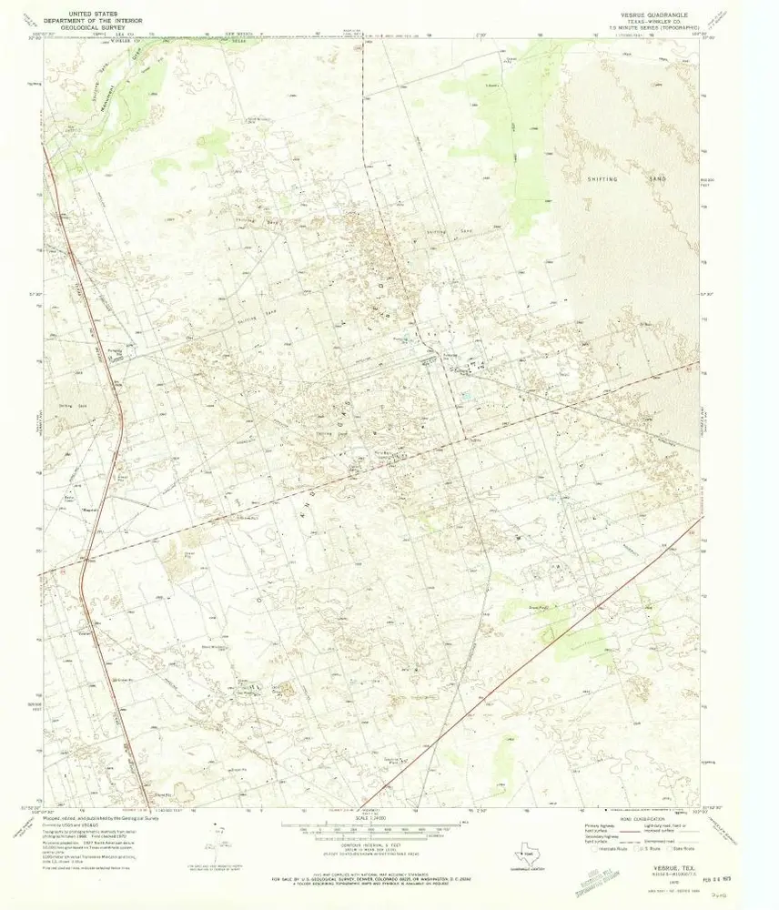
Vesrue
1970
1:24k
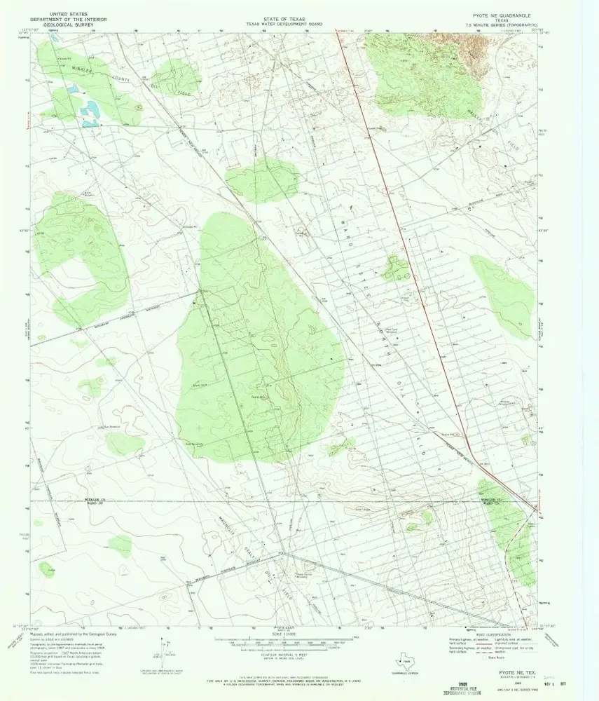
Pyote NE
1969
1:24k
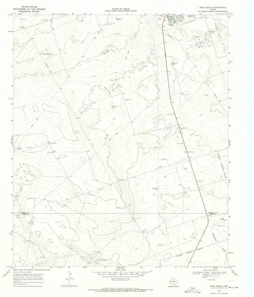
Wink South
1968
1:24k
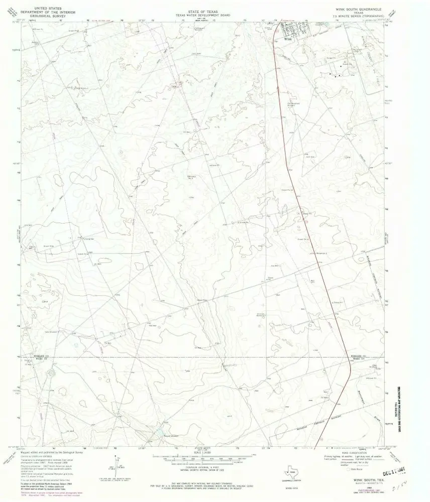
Wink South
1968
1:24k
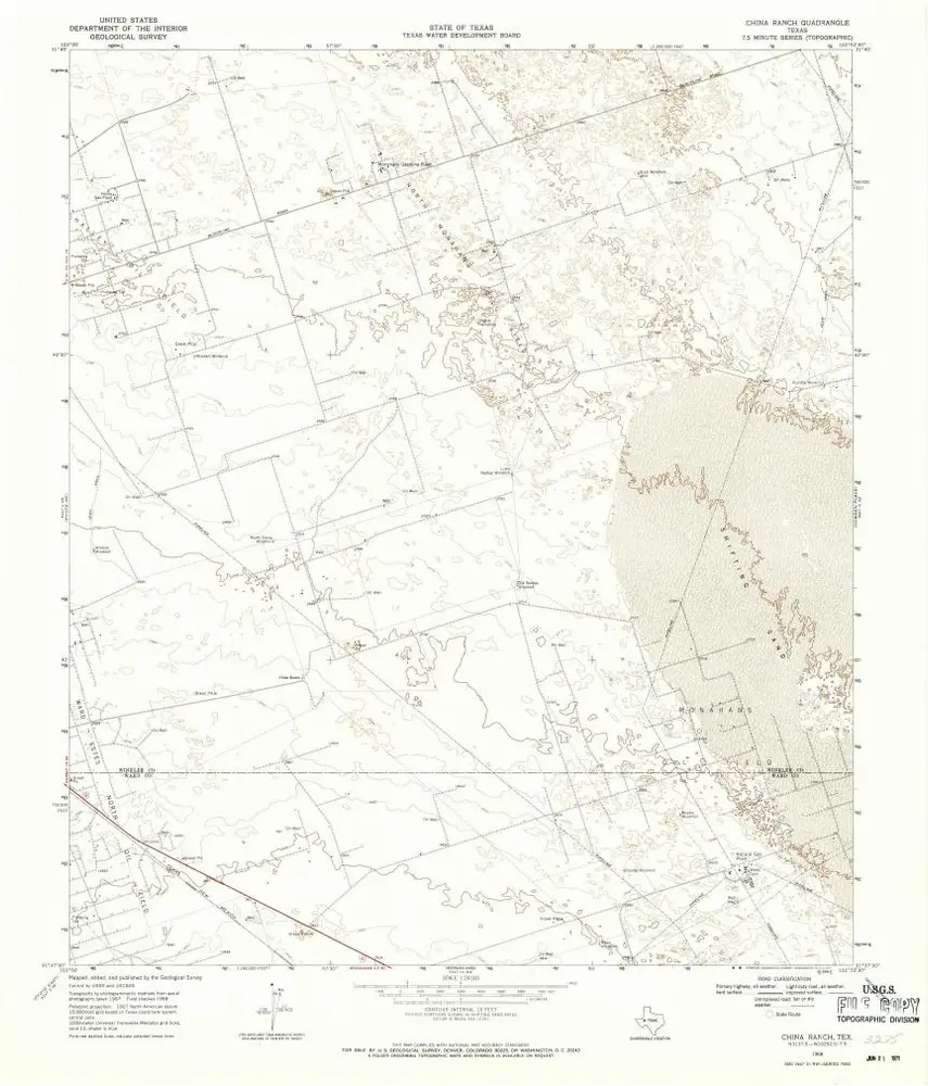
China Ranch
1968
1:24k
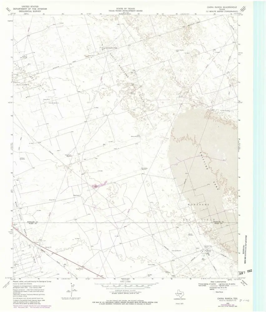
China Ranch
1968
1:24k
L'histoire