Cataloged map

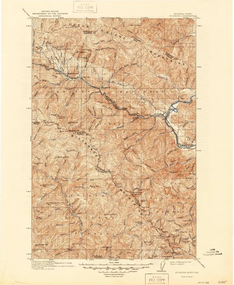
St Regis
1918
1:125k
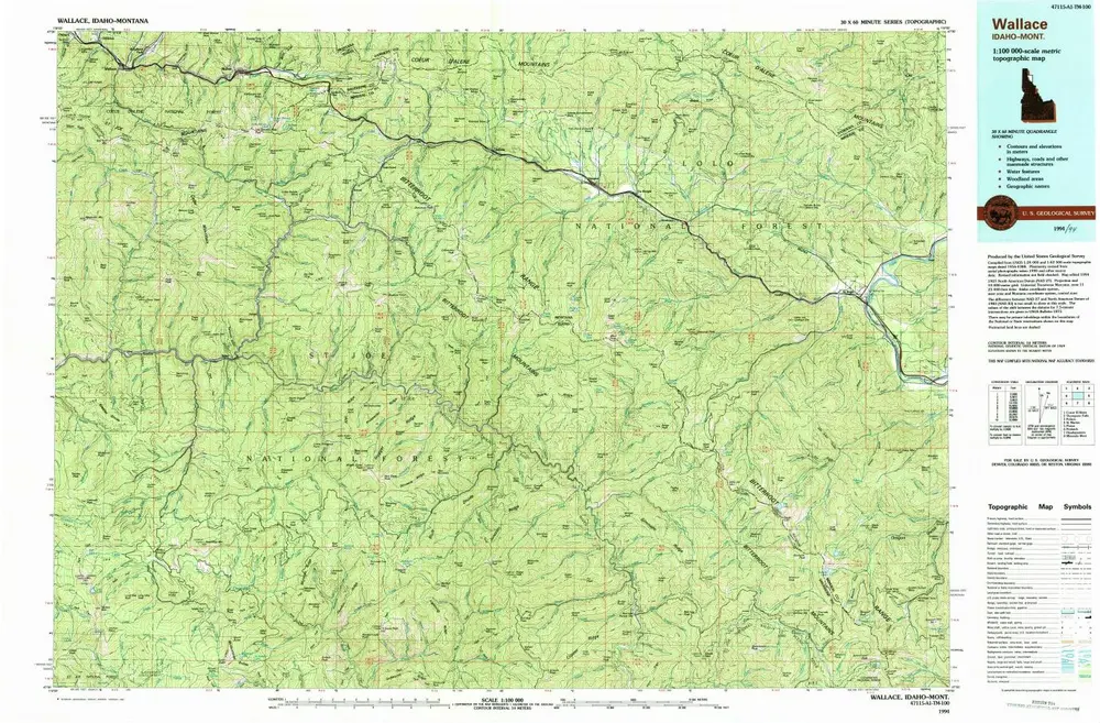
Wallace
1994
1:100k
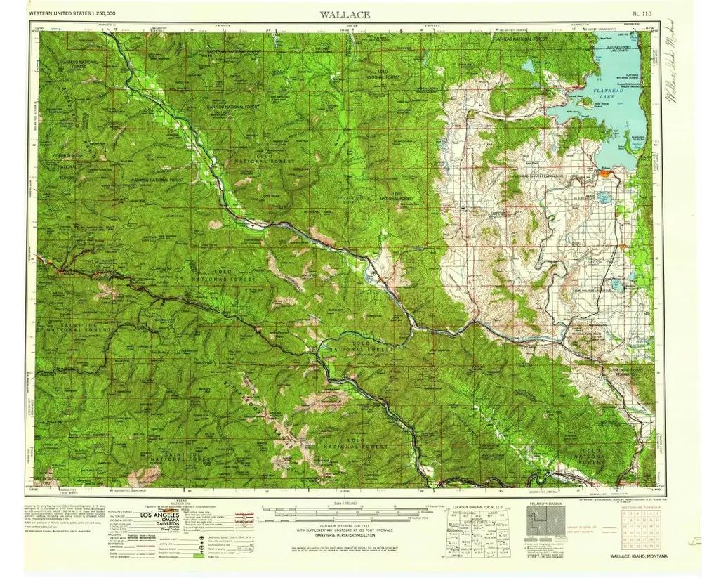
Wallace
1960
1:250k
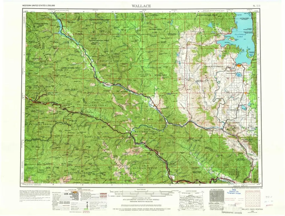
Wallace
1956
1:250k
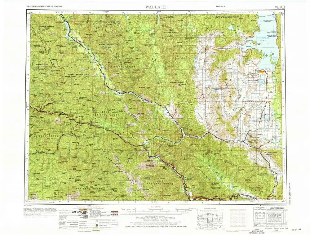
Wallace
1956
1:250k
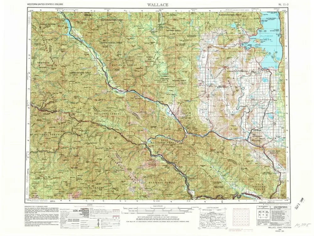
Wallace
1956
1:250k
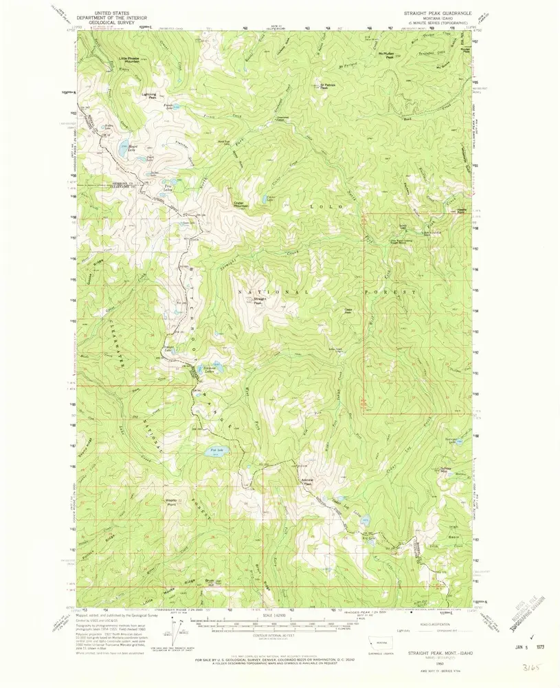
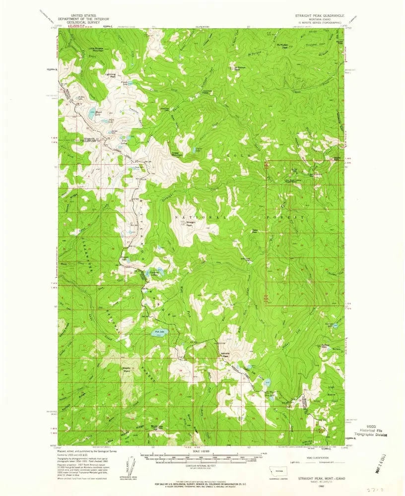
Straight Peak
1960
1:63k
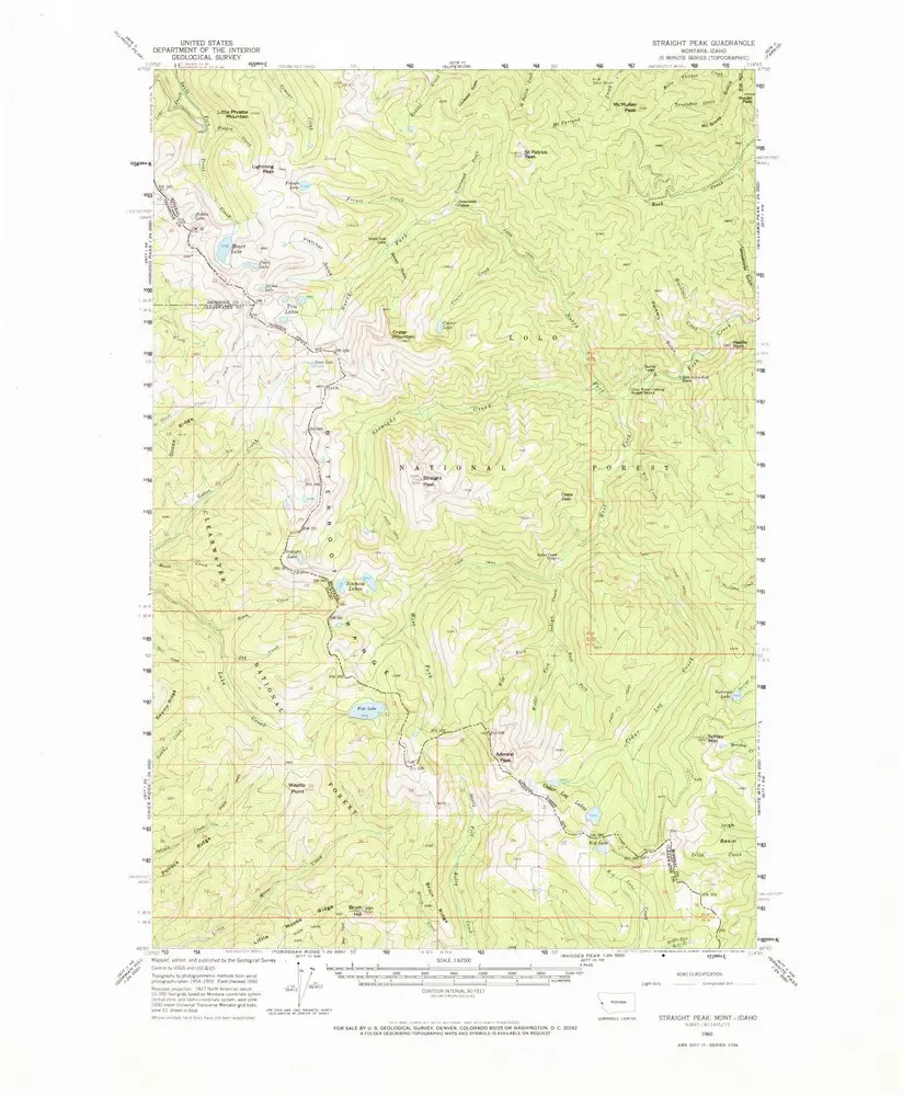
Straight Peak
1960
1:63k
Straight Peak
1960
1:63k
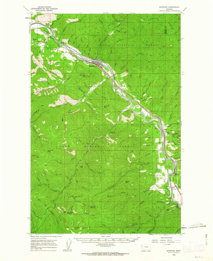
Superior
1960
1:63k
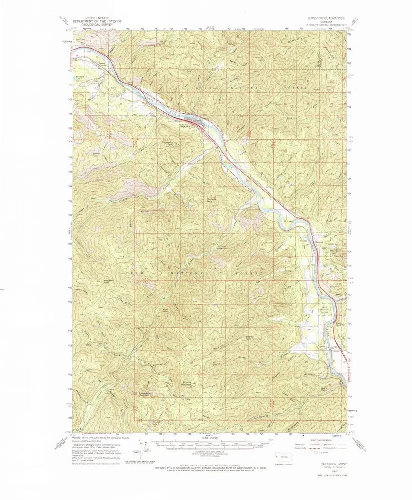
Superior
1960
1:63k
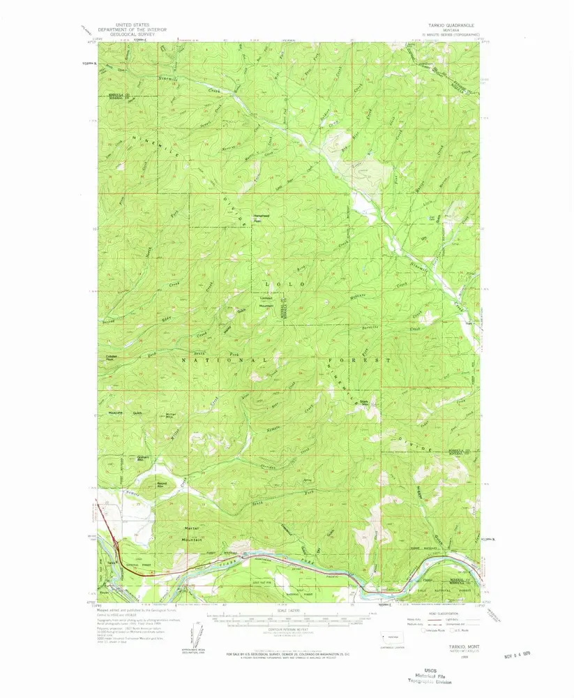
Tarkio
1959
1:63k
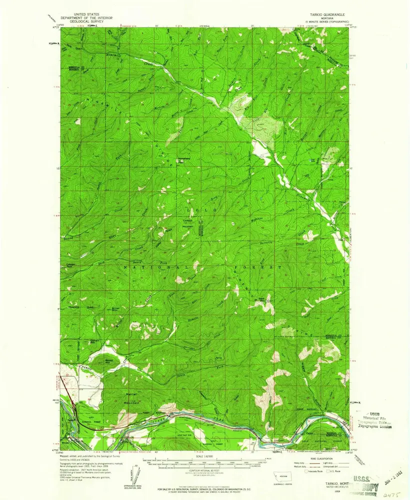
Tarkio
1959
1:63k
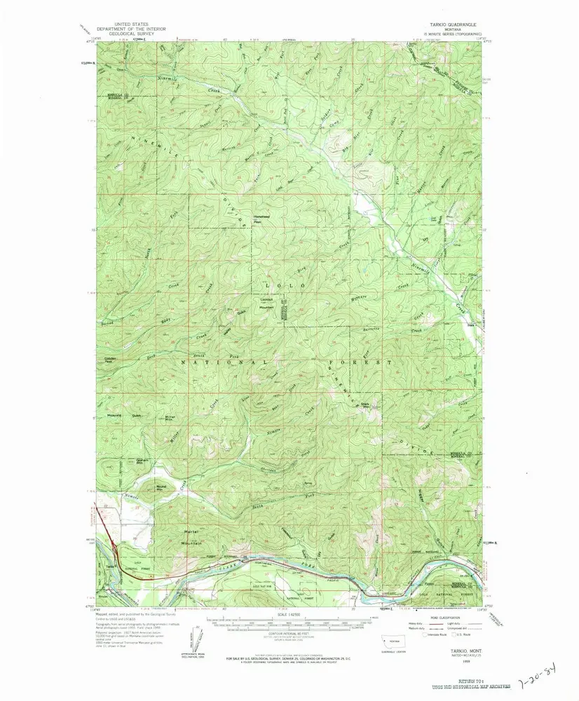
Tarkio
1959
1:63k
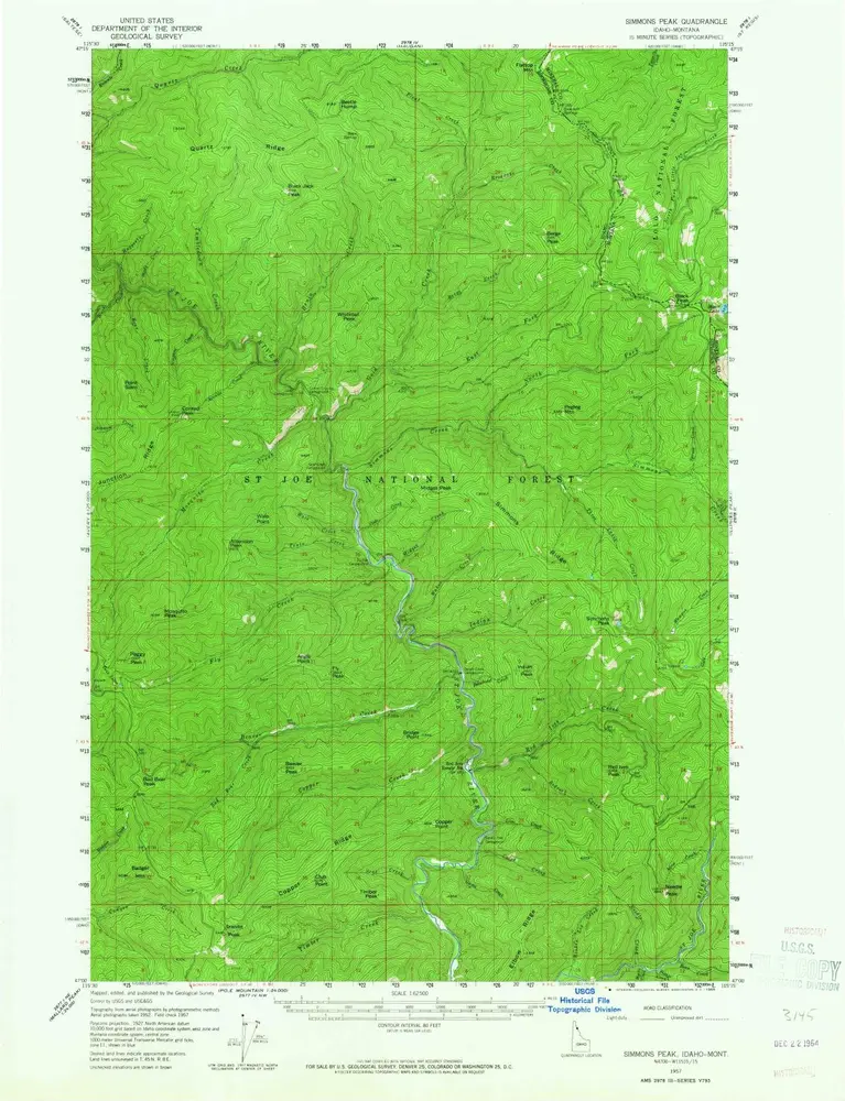
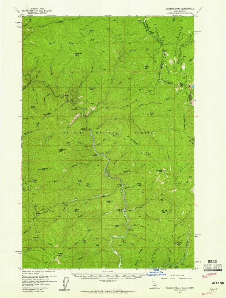
Simmons Peak
1957
1:63k
Simmons Peak
1957
1:63k
Illnois Peak
1957
1:63k
Illnois Peak
1957
1:63k