Project
Community
News
My App
My maps
Carte cataloguée
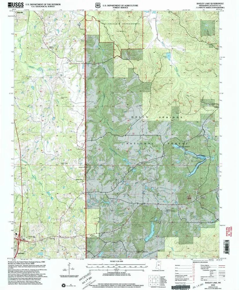
Bagley Lake
View on external website
View digitized
Institution:
United States Geological Survey
Titre complet:
Bagley Lake
Année de l'image:
2000
Date de publication:
2003
Échelle de la carte:
1:24 000
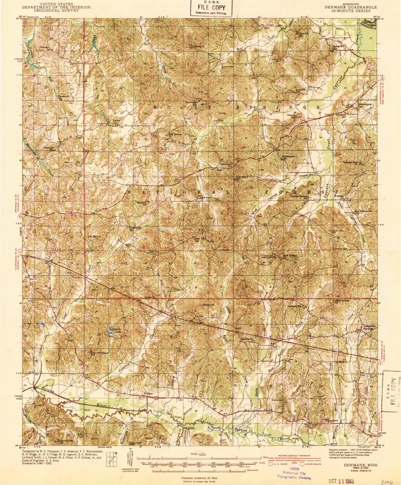
Denmark
1943
1:63k
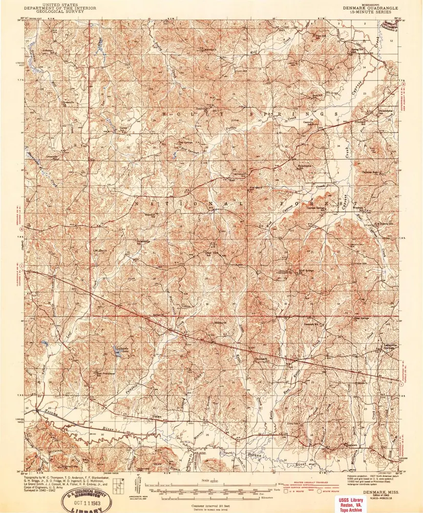
Denmark
1943
1:63k
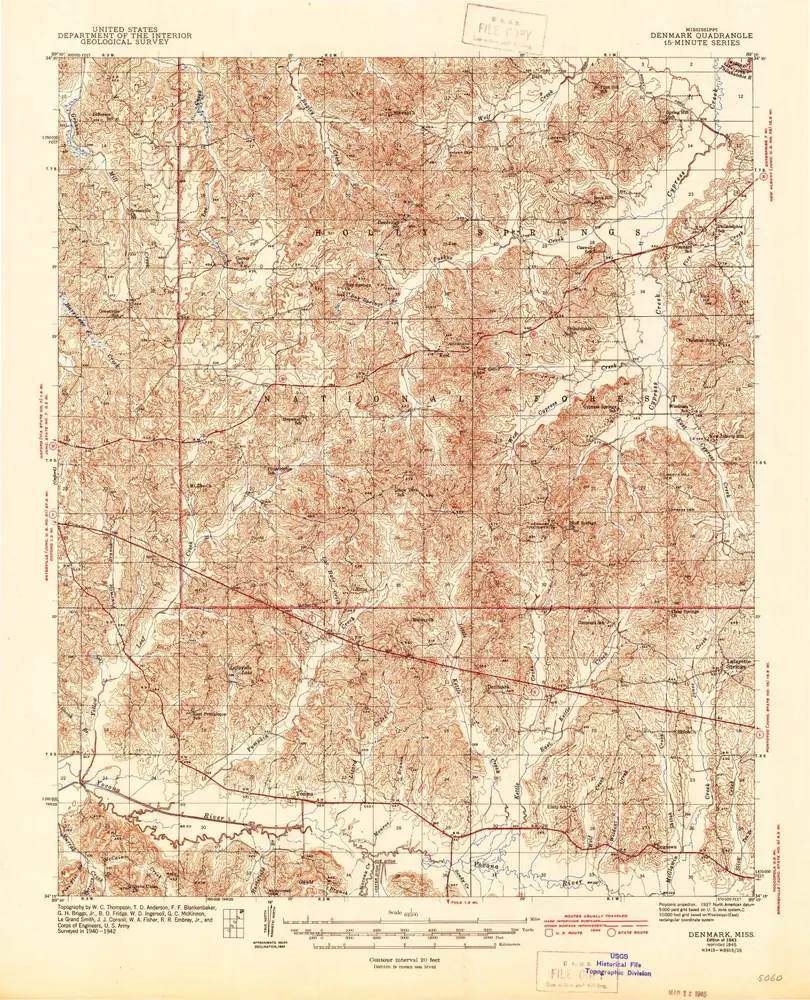
Denmark
1943
1:63k
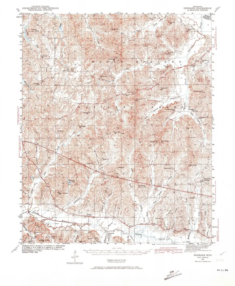
Denmark
1942
1:63k
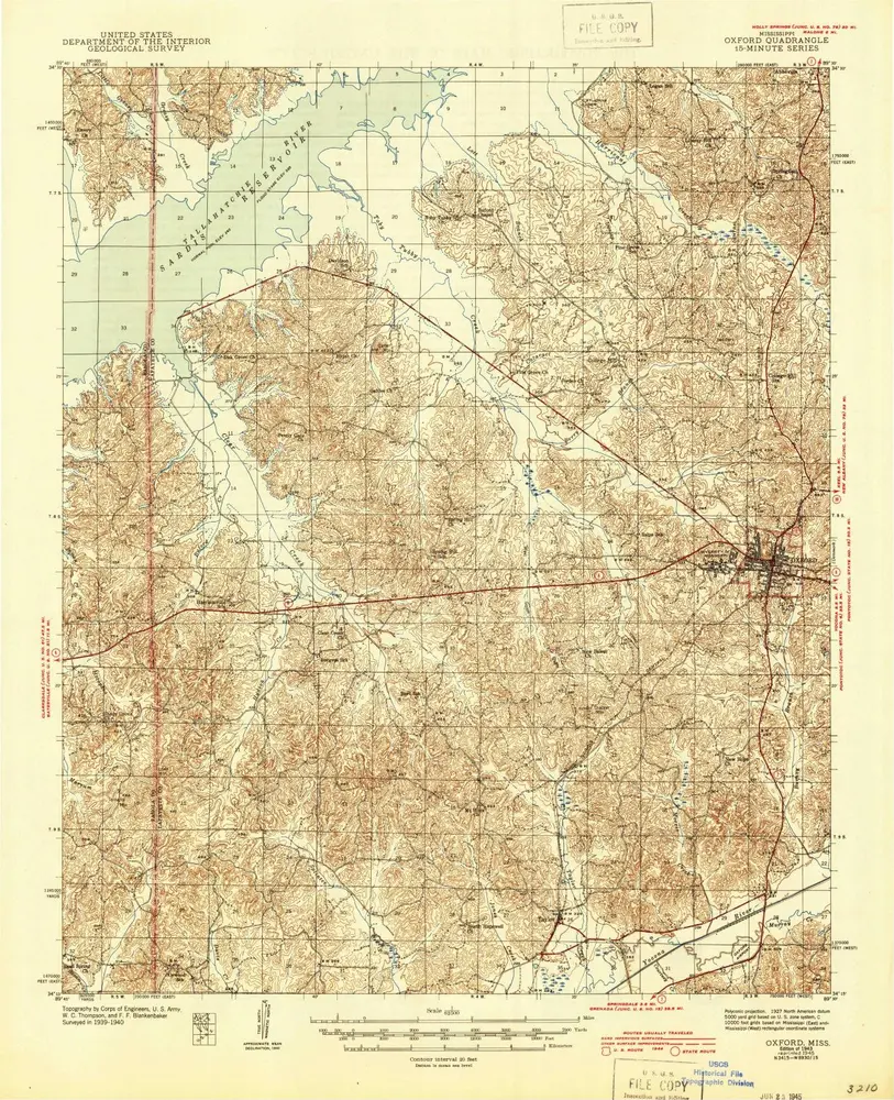
Oxford
1943
1:63k
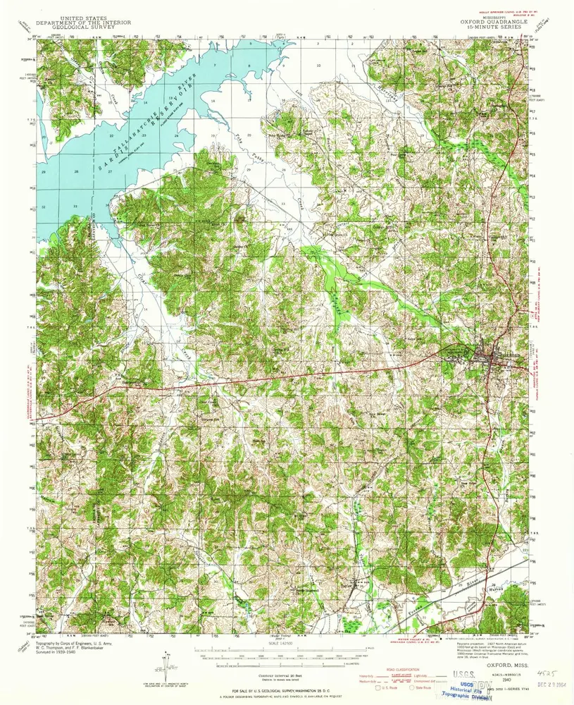
Oxford
1943
1:63k
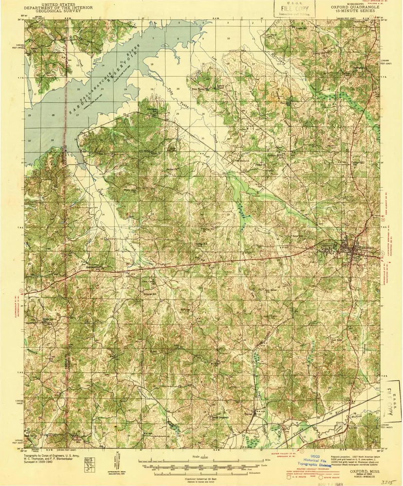
Oxford
1940
1:63k
Oxford
1940
1:63k
Oxford
1990
1:100k
Oxford
1984
1:100k
L'histoire