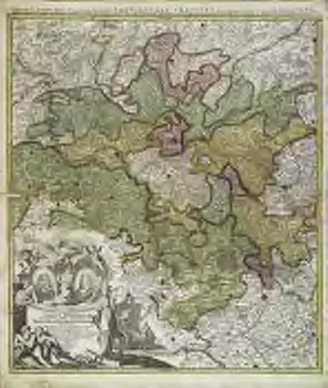
Circuli Franconiæ pars occidentalis, exhibens simul integrum fere electoratum Moguntinum
1 Karte : Kupferdruck ; 54 x 47 cm

Maps of
- No maps found for this area.Please adjust the year or set different filters.
1600
1650
1700
1750
1800
1850
1900
1950
2000