Project
Community
News
My App
My maps
Katalogisierte Karte
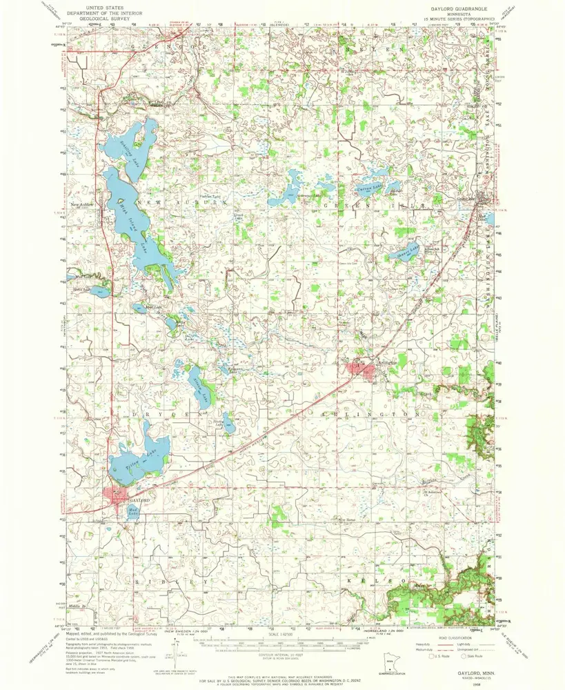
Gaylord
View on external website
View digitized
Einrichtung:
United States Geological Survey
Vollständiger Titel:
Gaylord
Jahr der Abbildung:
1958
Veröffentlichungsdatum:
1974
Maßstab der Karte:
1:62 500
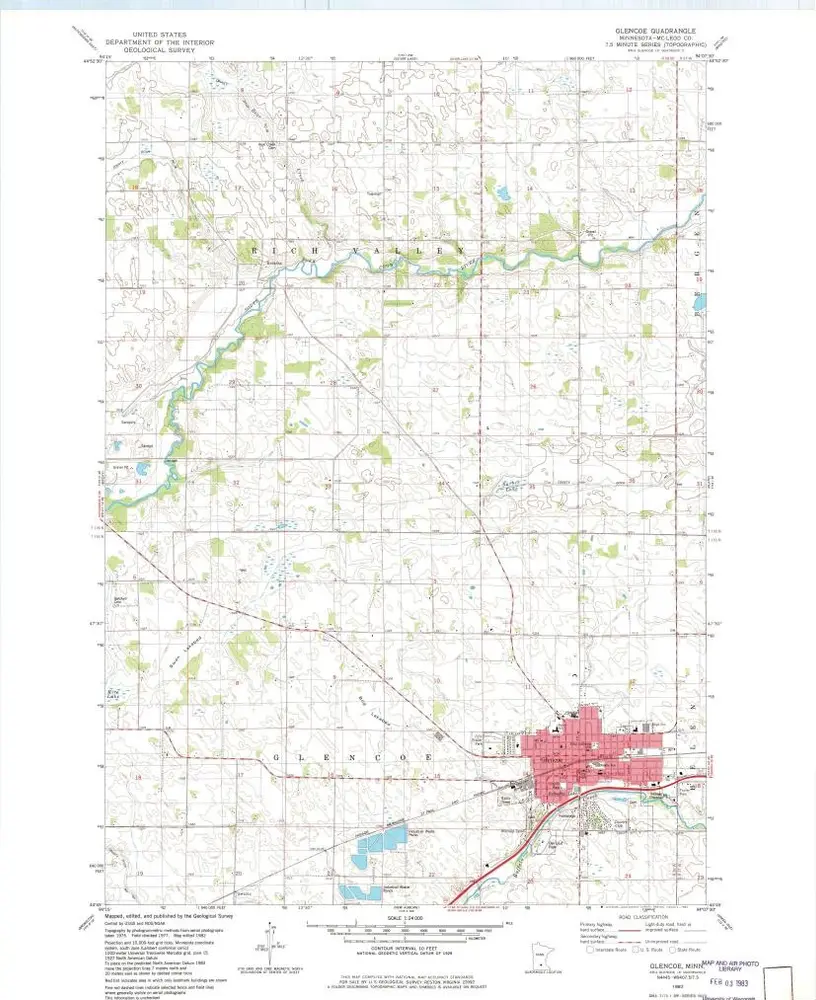
Glencoe
1982
1:24k
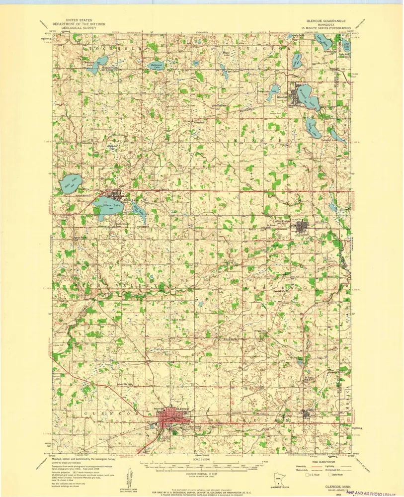
Glencoe
1958
1:63k
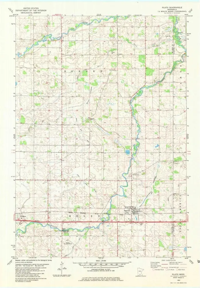
Plato
1982
1:24k
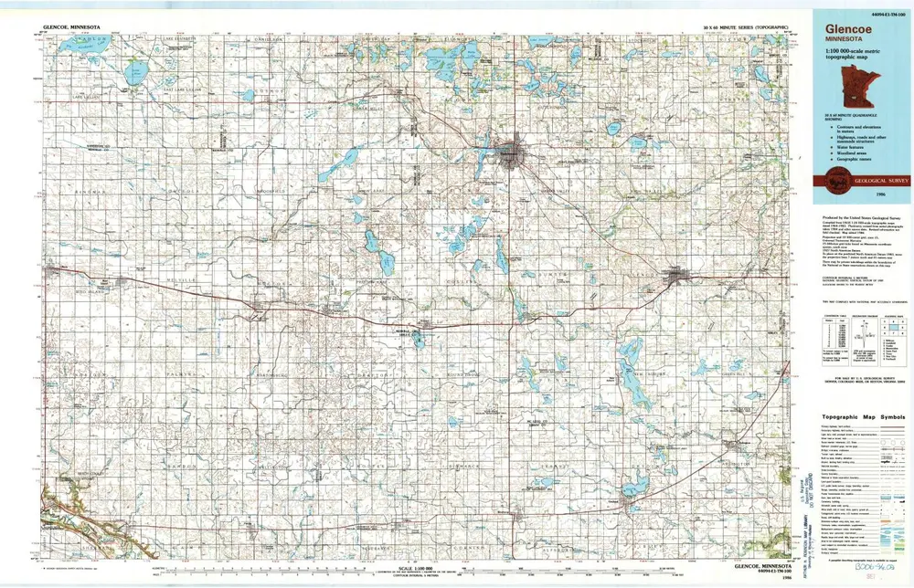
Glencoe
1986
1:100k
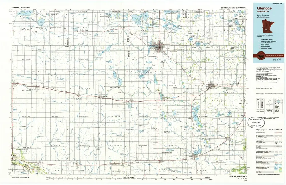
Glencoe
1986
1:100k
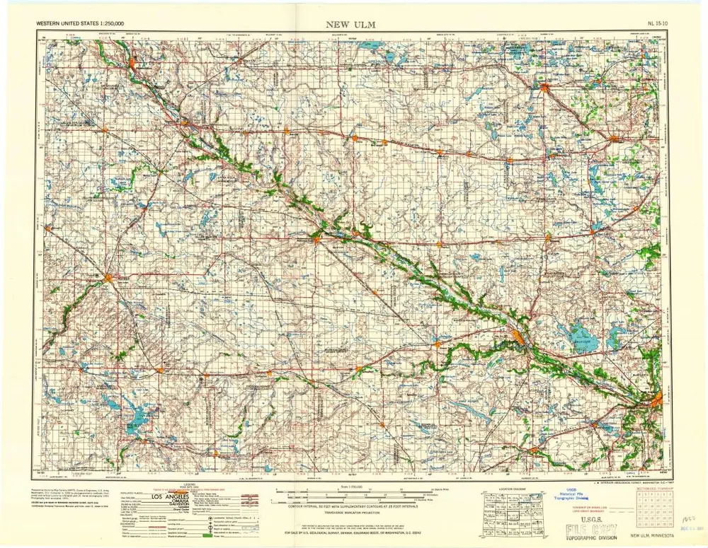
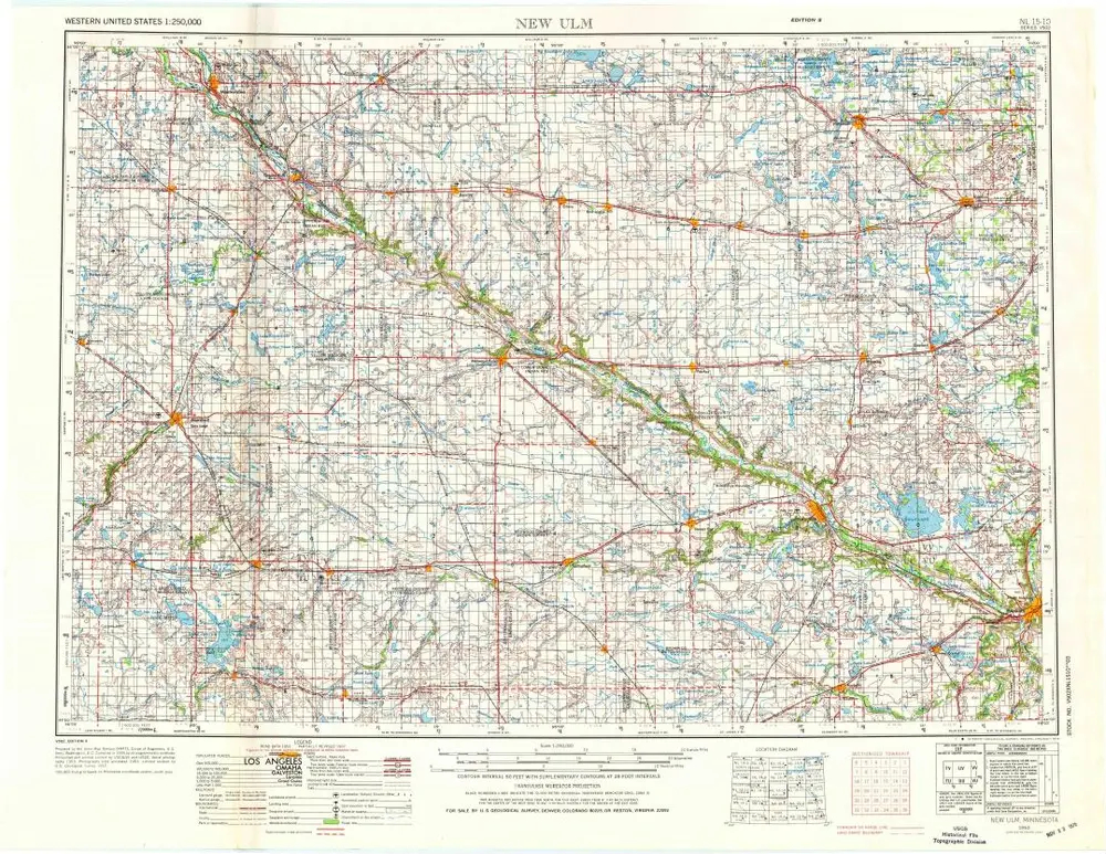
New Ulm
1967
1:250k
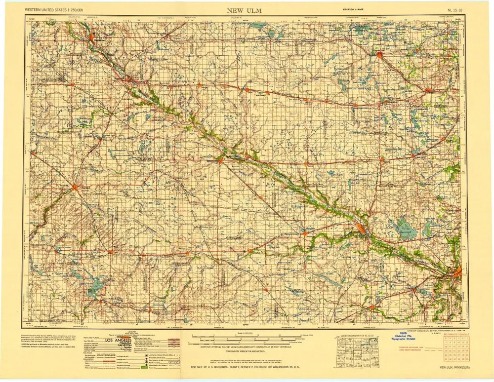
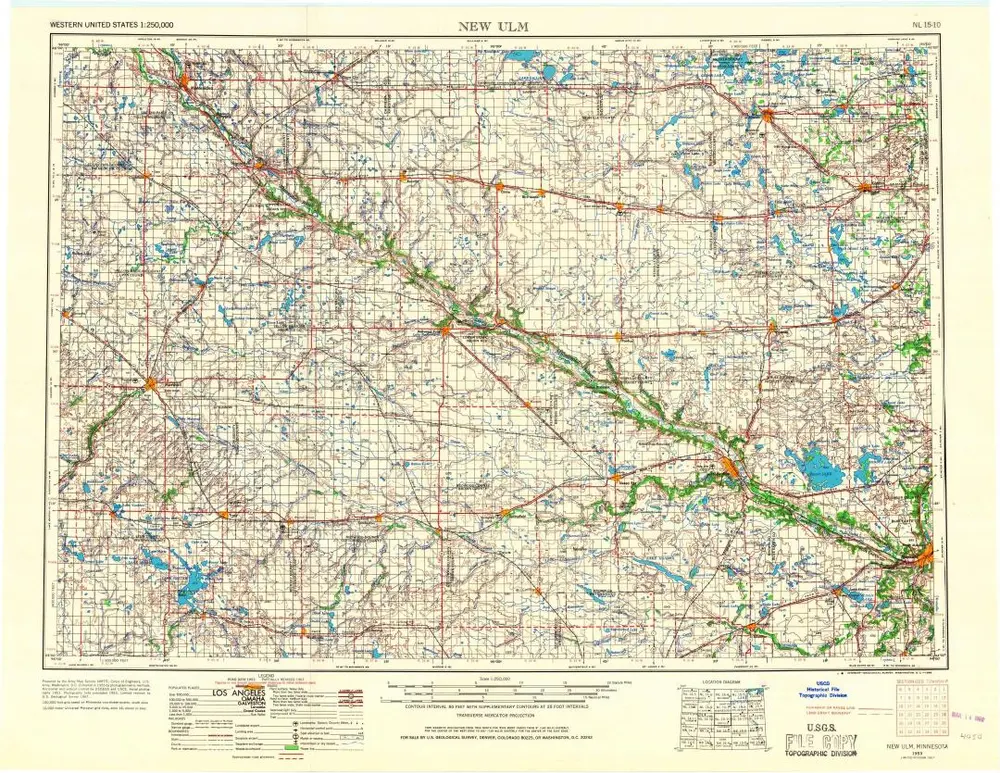
New Ulm
1958
1:250k
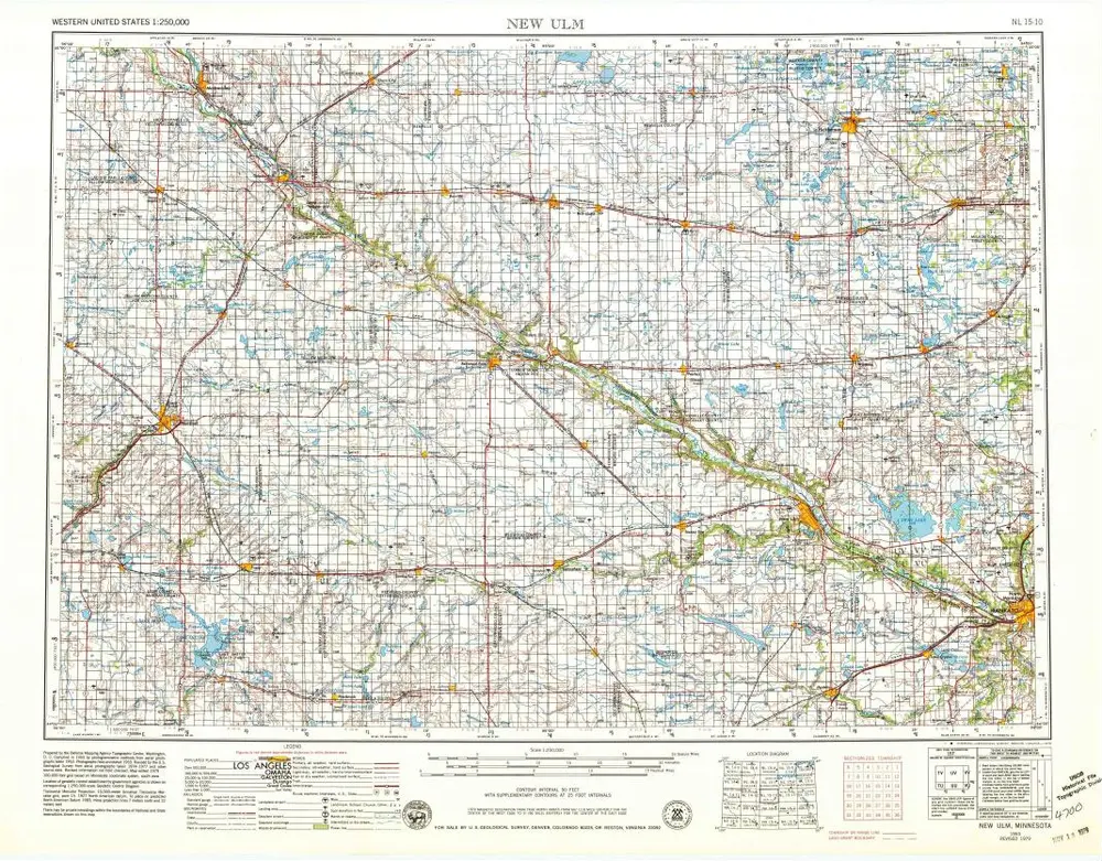
New Ulm
1953
1:250k
New Ulm
1953
1:250k
New Ulm
1953
1:250k
Geschichte