Skatalogowana mapa
Illinois.

Instytucja:The David Rumsey Map Collection
Pełny tytuł:Illinois.
Rok ilustracji:1948
Data publikacji:1948
Wydawca:Garden City Publishing Company, Inc.
Skala mapy:1:1 387 000
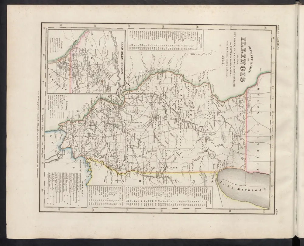
[Neueste Karte von Illionois mit seinen Strassen, Entfernungen der Hauptpunkte und Routen für Dampfschiffe]
1860
Meyer, J.
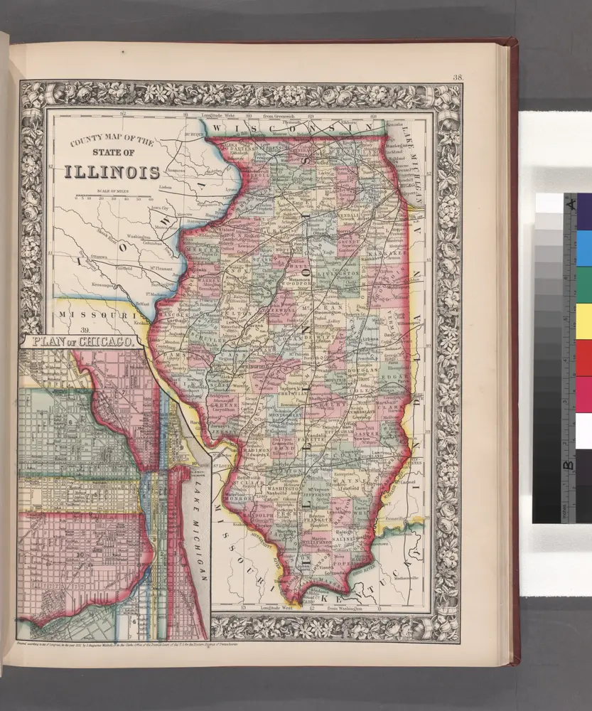
County map of the State of Illinois ; Plan of Chicago [inset].
1860
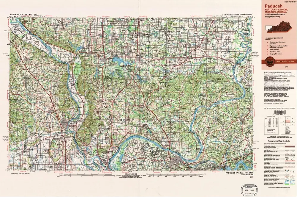
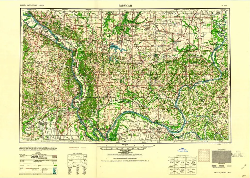
Paducah
1987
1:250k
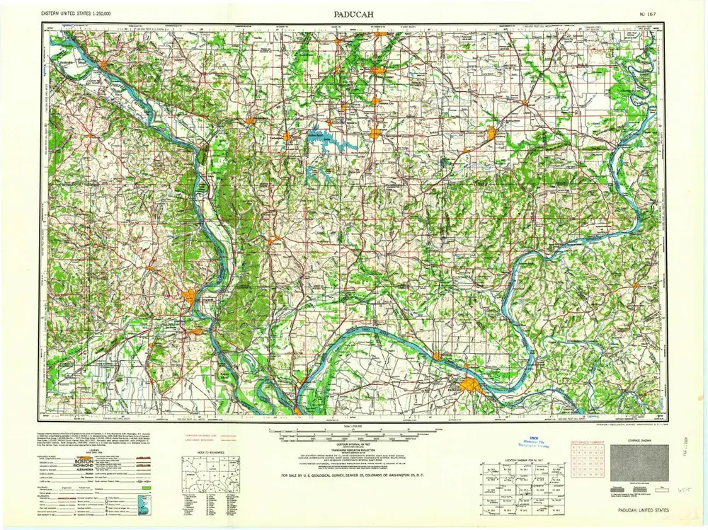
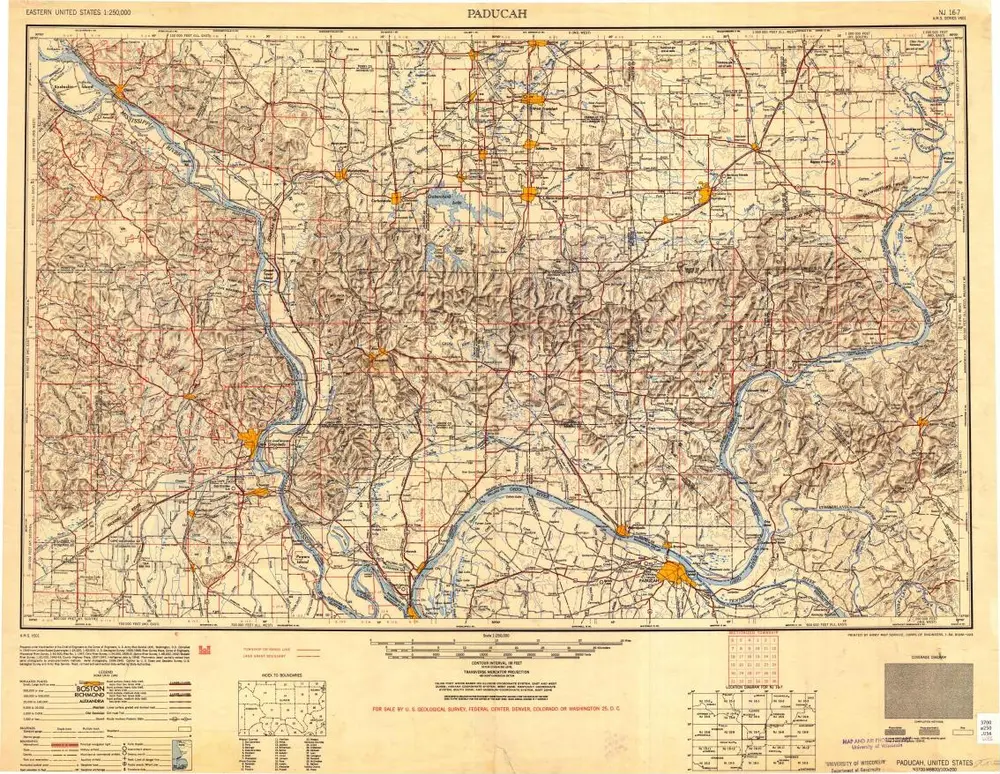
Paducah
1964
1:250k
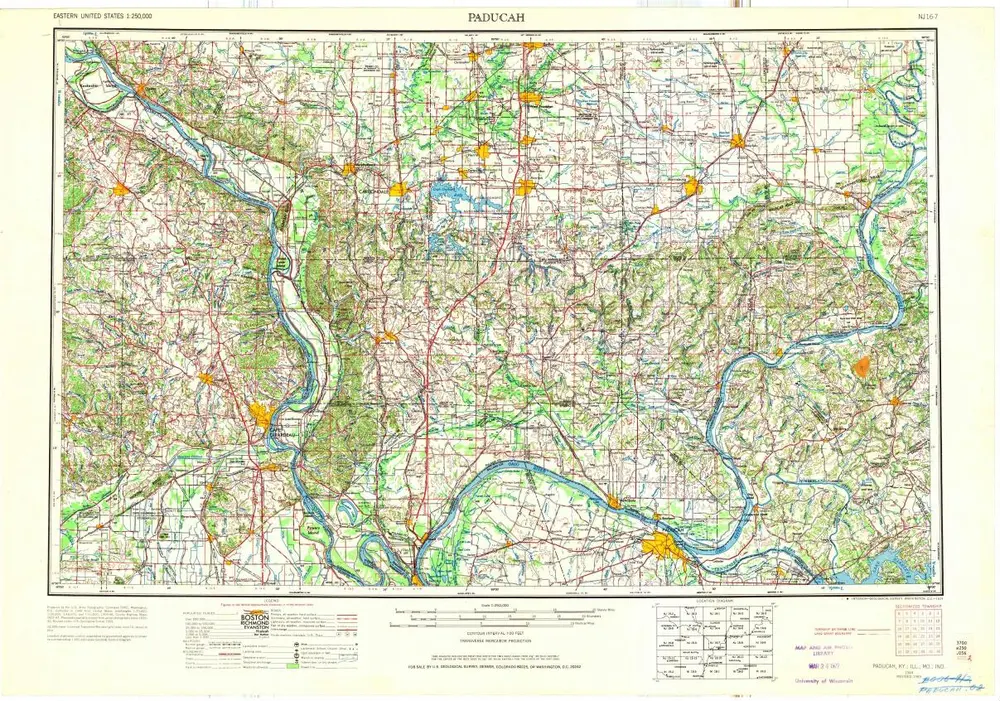
Paducah
1961
1:250k
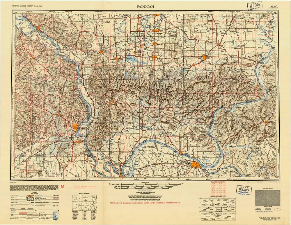
Paducah
1954
1:250k
Paducah
1949
1:250k
Paducah
1949
1:250k
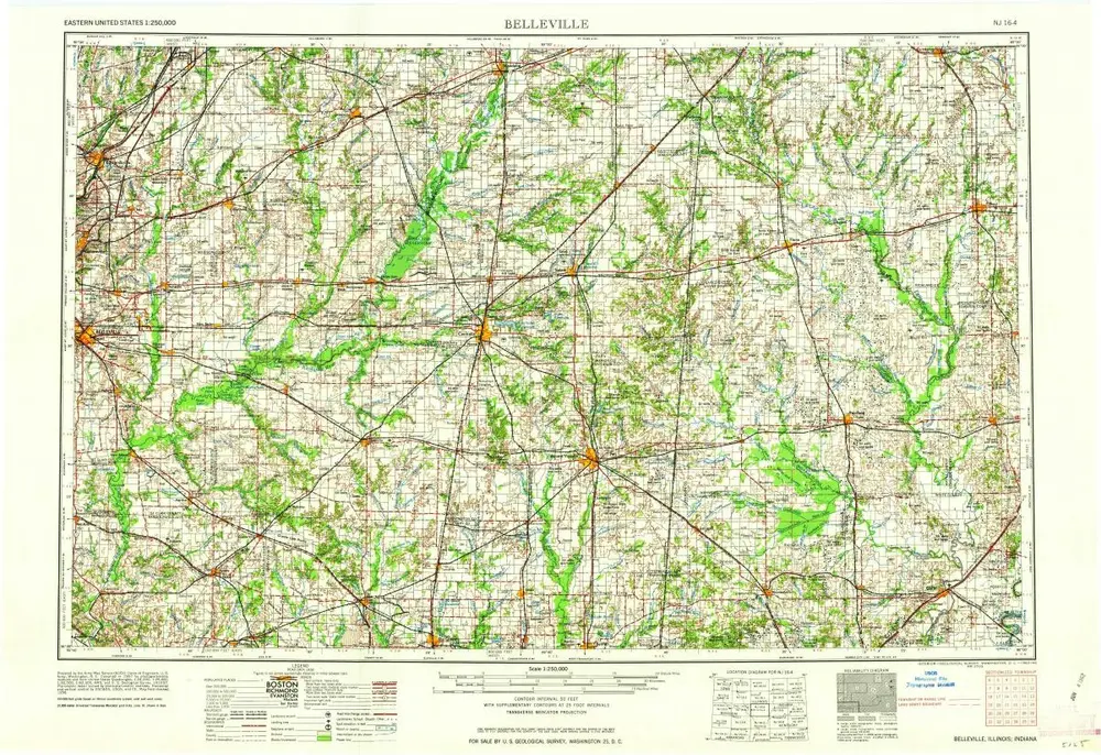
Belleville
1962
1:250k
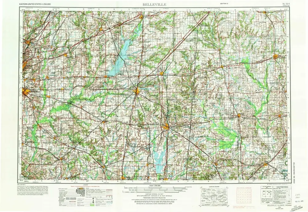
Belleville
1958
1:250k
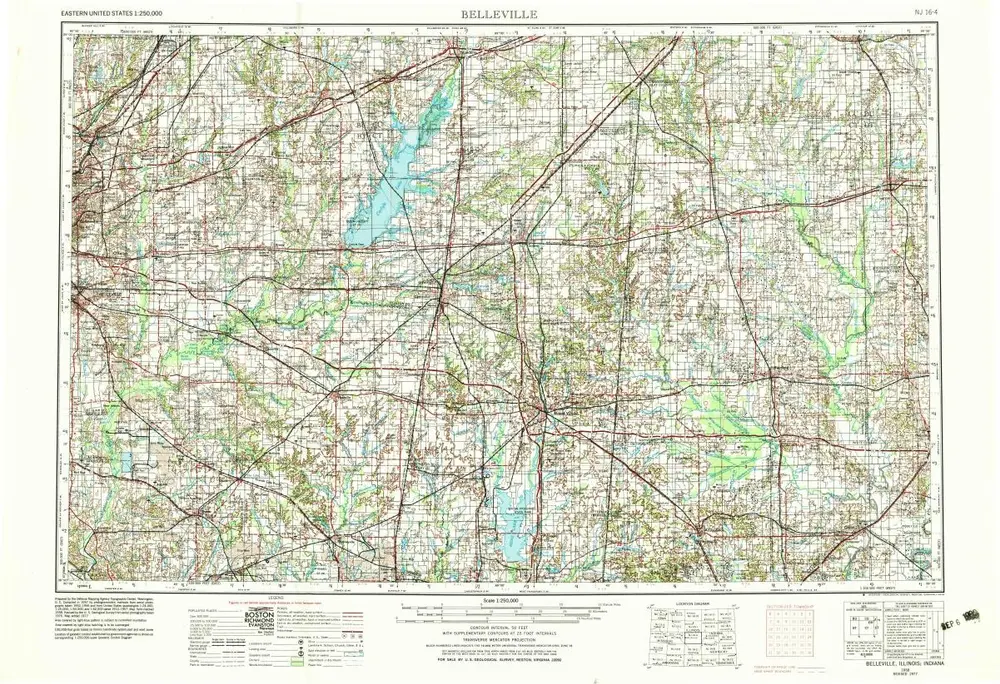
Belleville
1958
1:250k
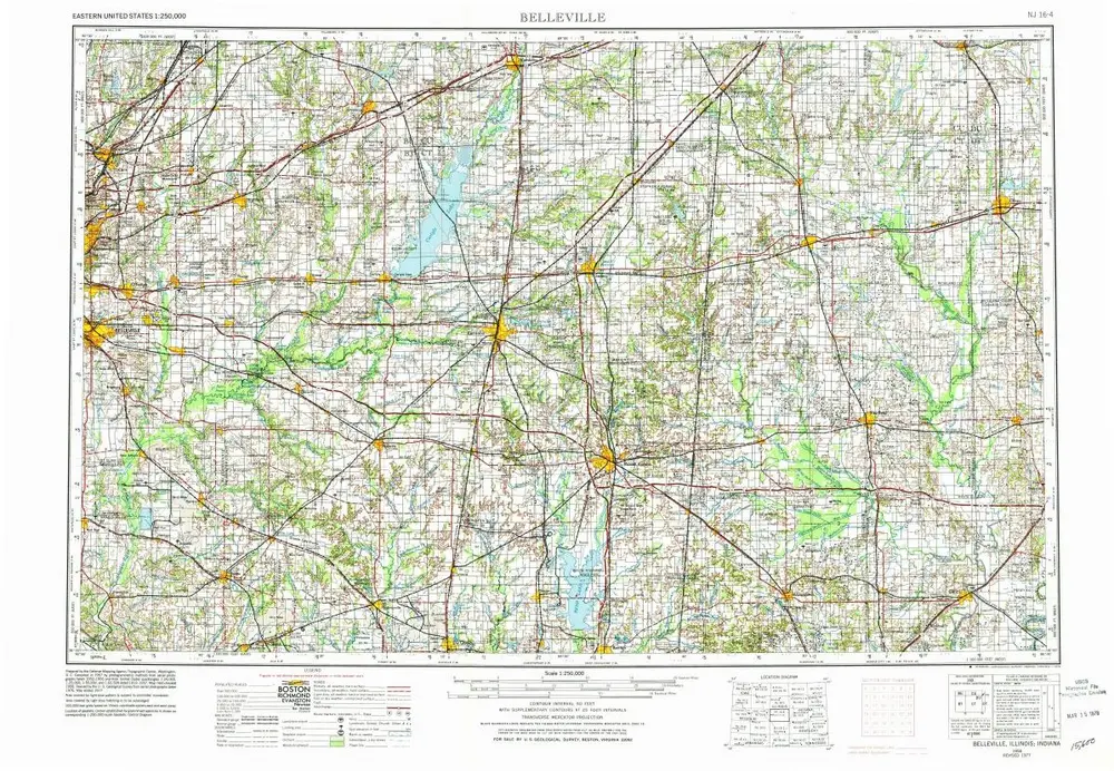
Belleville
1958
1:250k