Cataloged map
Hampshire and Isle of Wight XCVII.8 (includes: Brixton; Shorwell) - 25 Inch Map
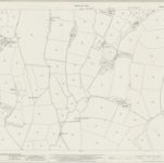

Full title:Hampshire and Isle of Wight XCVII.8 (includes: Brixton; Shorwell) - 25 Inch Map
Depicted:1940
Pubdate:1946
Publisher:Ordnance Survey
Map scale:1:2 500