Project
Community
News
My App
My maps
Skatalogowana mapa
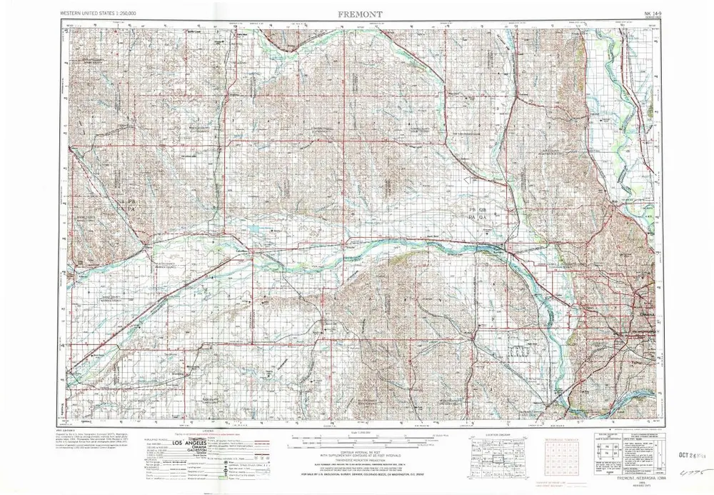
Fremont
View on external website
View digitized
Instytucja:
United States Geological Survey
Pełny tytuł:
Fremont
Rok ilustracji:
1955
Data publikacji:
1974
Skala mapy:
1:250 000
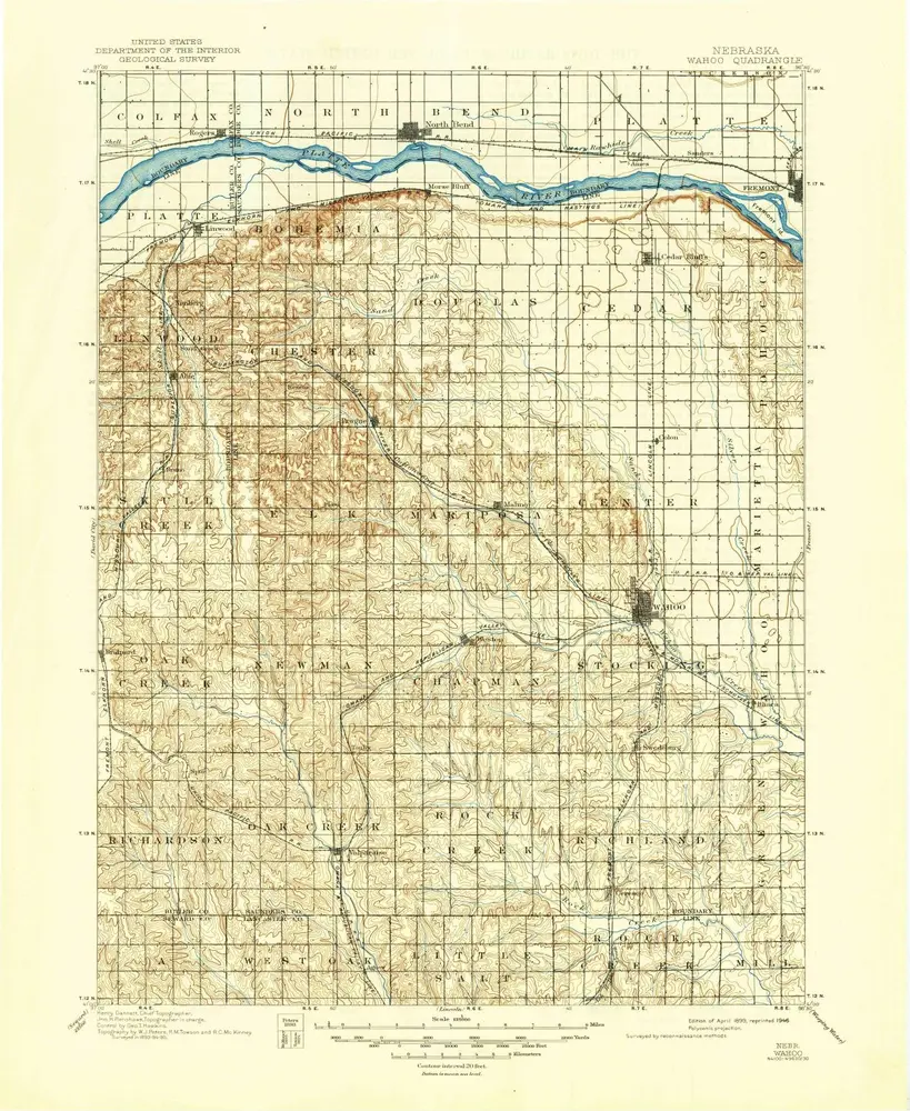
Wahoo
1899
1:125k
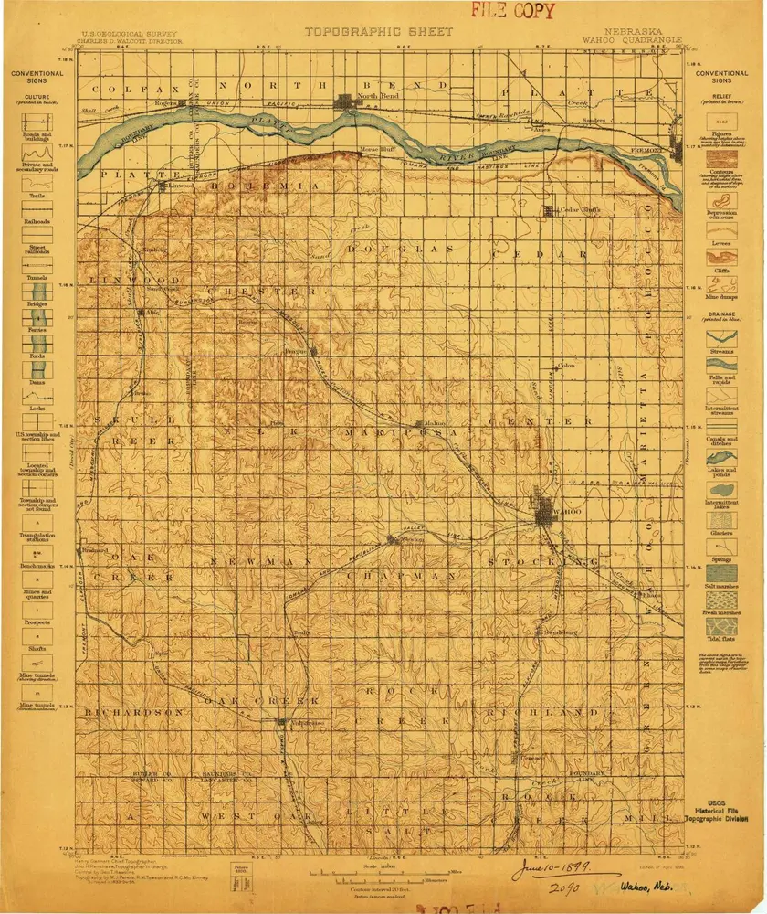
Wahoo
1899
1:125k
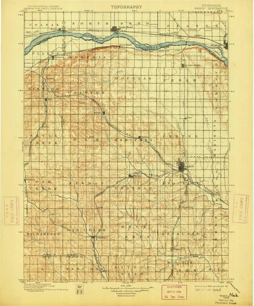
Wahoo
1899
1:125k
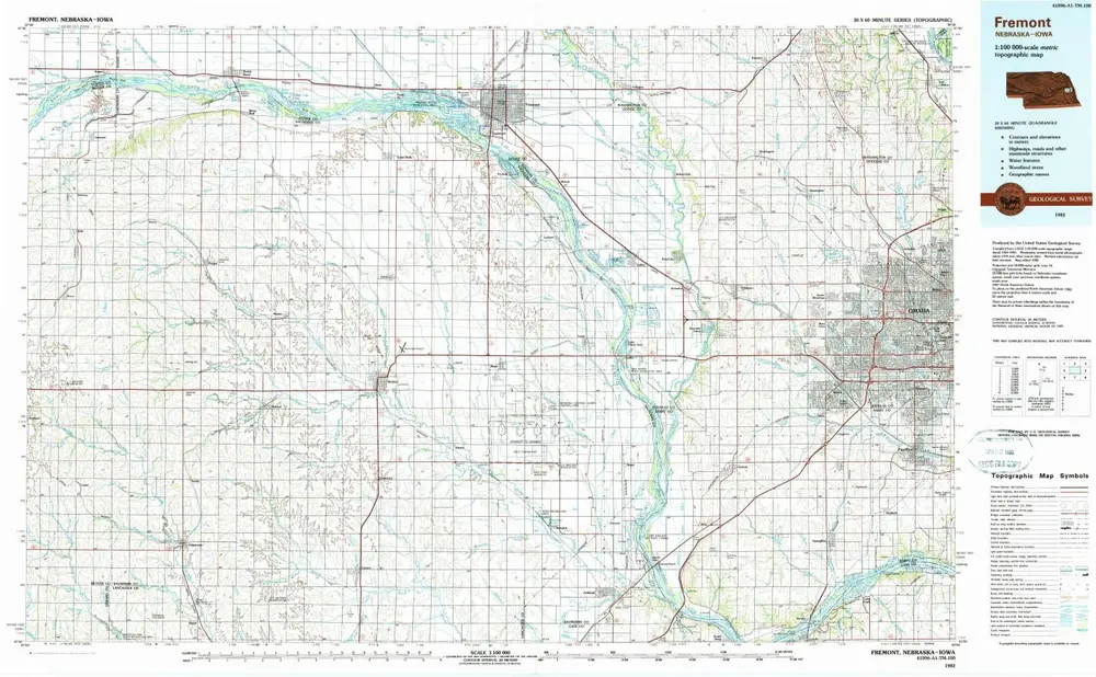
Fremont
1982
1:100k
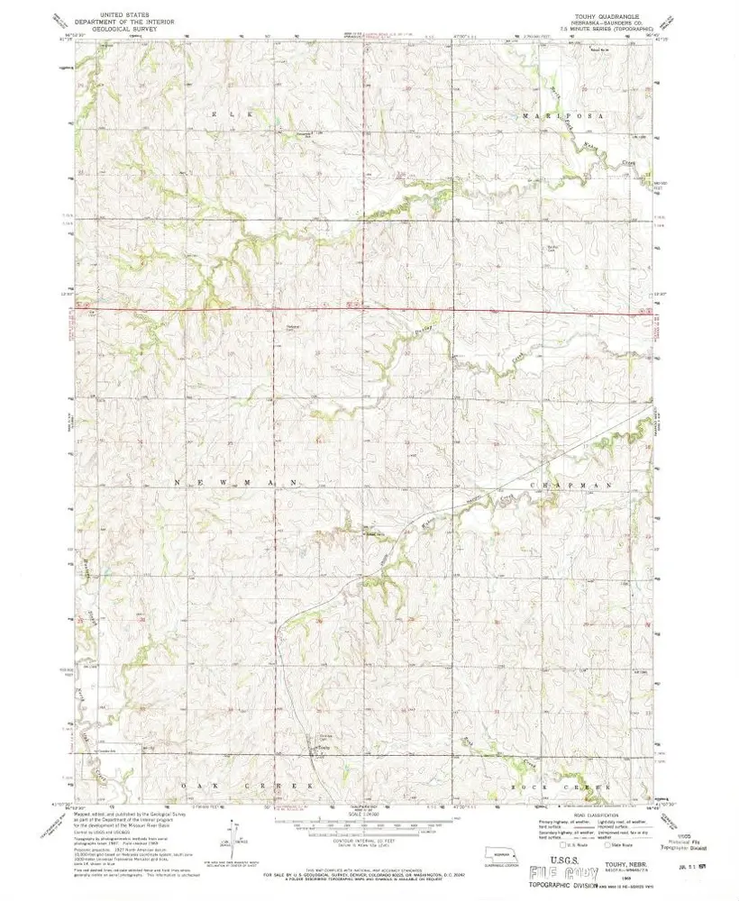
Touhy
1969
1:24k
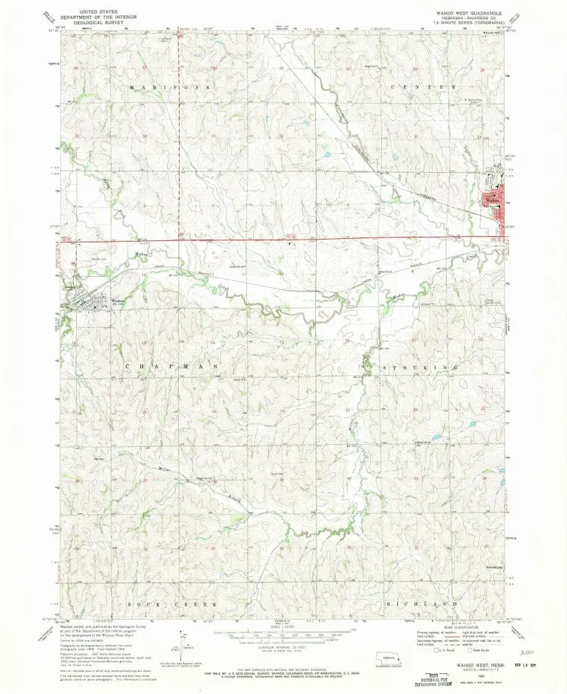
Wahoo West
1969
1:24k
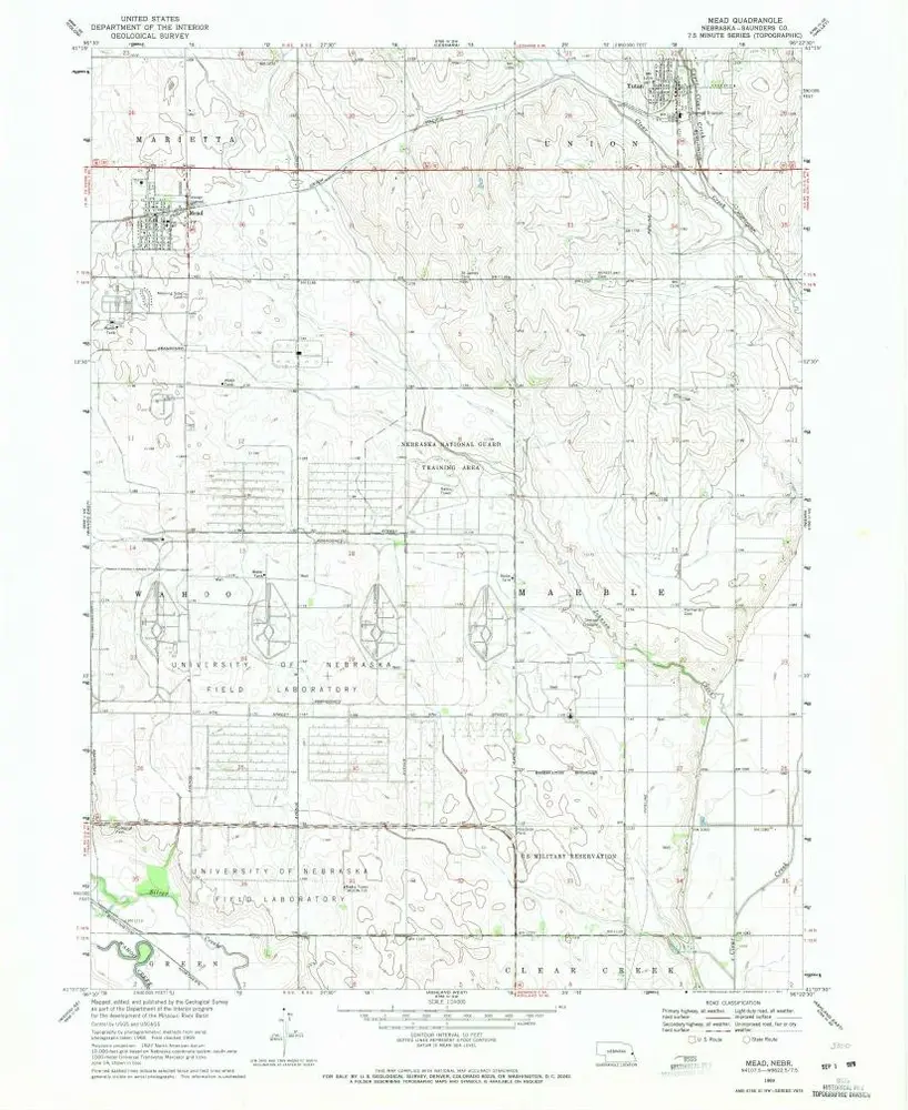
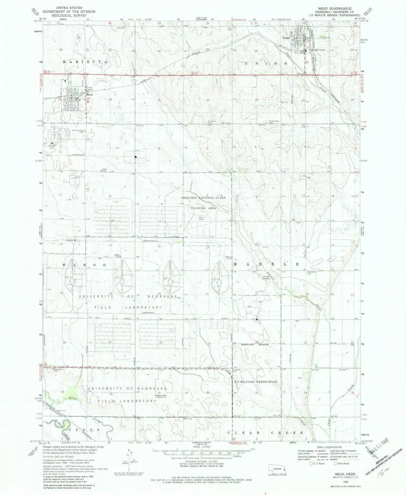
Mead
1969
1:24k
Mead
1969
1:24k
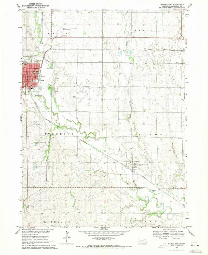
Wahoo East
1969
1:24k
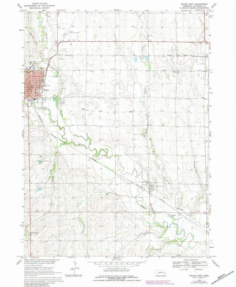
Wahoo East
1969
1:24k
Historia