Maps of Susquehanna Trails, Pennsylvania
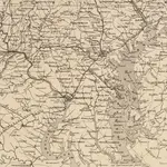 1861|J. Wyld
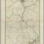
 1863|Russell, B. B. (Benjamin B.)1:520 000
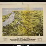
 1828|Stansbury, A.J.1:316 800
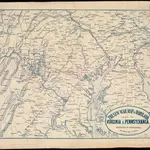
 1861|L. Prang & Co.
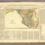 1825|Buchon, J. A. C.; Carey, H. C.; Lea, I.1:850 000
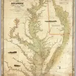 1840|Lucas, Fielding Jr.1:354 816
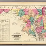 1873|Gray, Frank Arnold1:633 600
Old maps of Susquehanna Trails, Pennsylvania
Discover the past of Susquehanna Trails, Pennsylvania on historical maps
Old maps of Susquehanna Trails, Pennsylvania
Discover the past of Susquehanna Trails, Pennsylvania on historical maps
Looking for a Google Maps API Alternative?