1903
K. u. k. militär-geographisches Institut
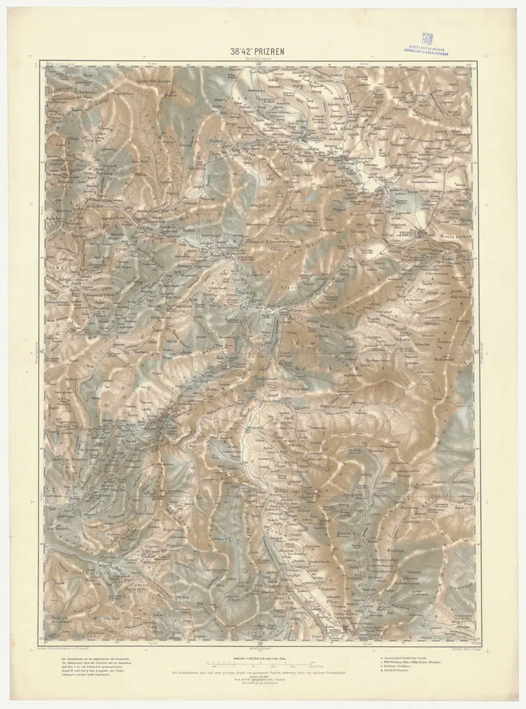
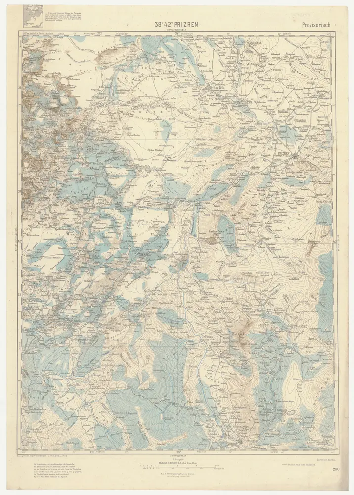
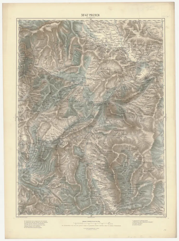
1:200k
1918
K. u. k. Militärgeographisches Institut
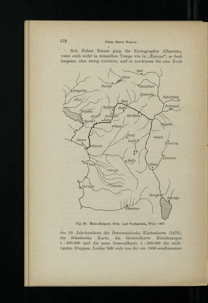
1898
1916