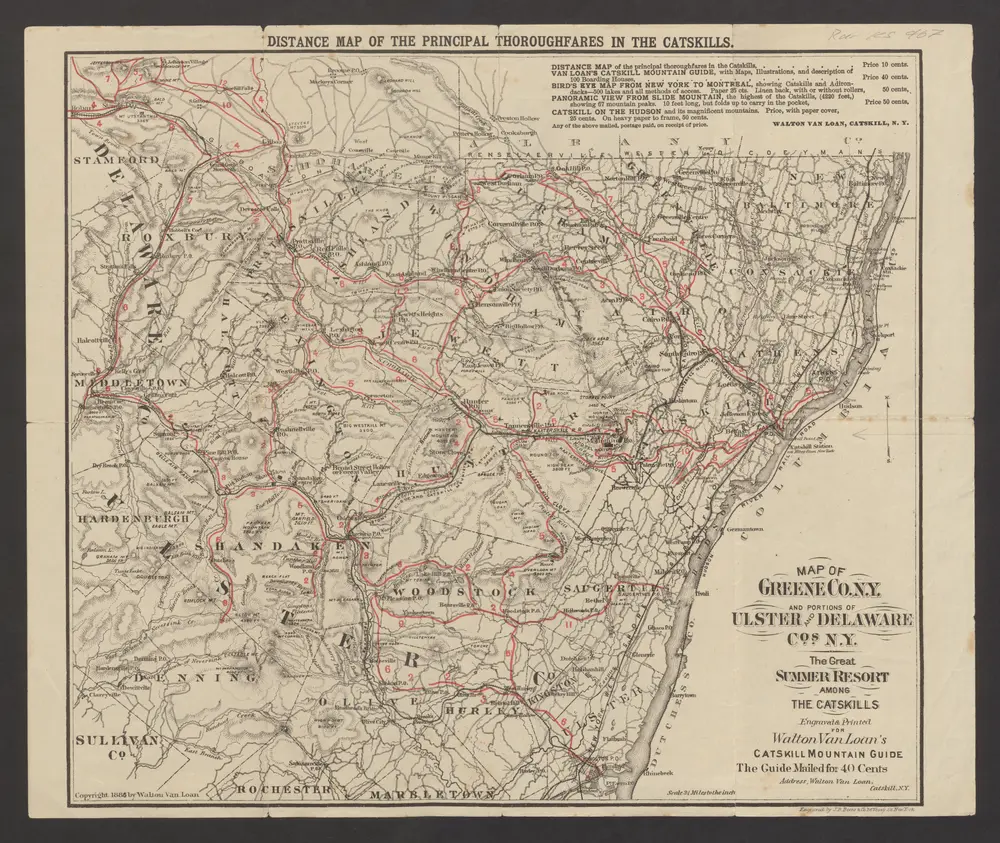

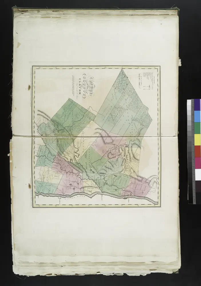
Old maps of Rosendale (CDP), New York
Discover the past of Rosendale (CDP), New York on historical maps
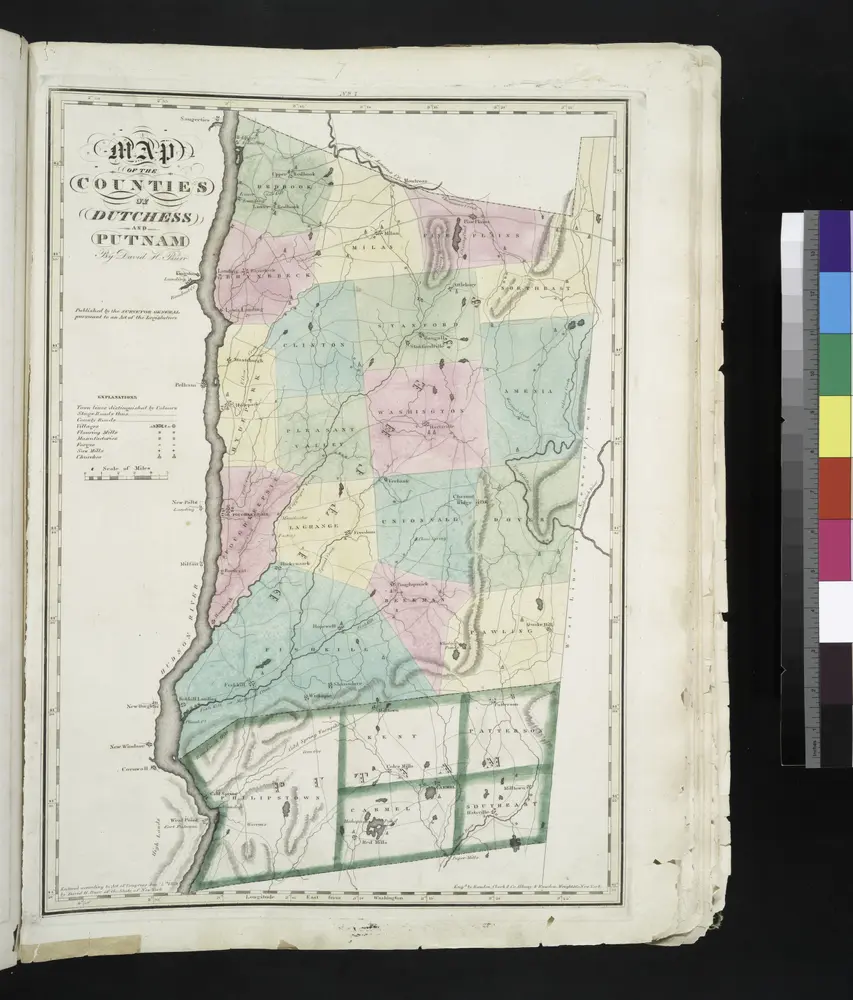
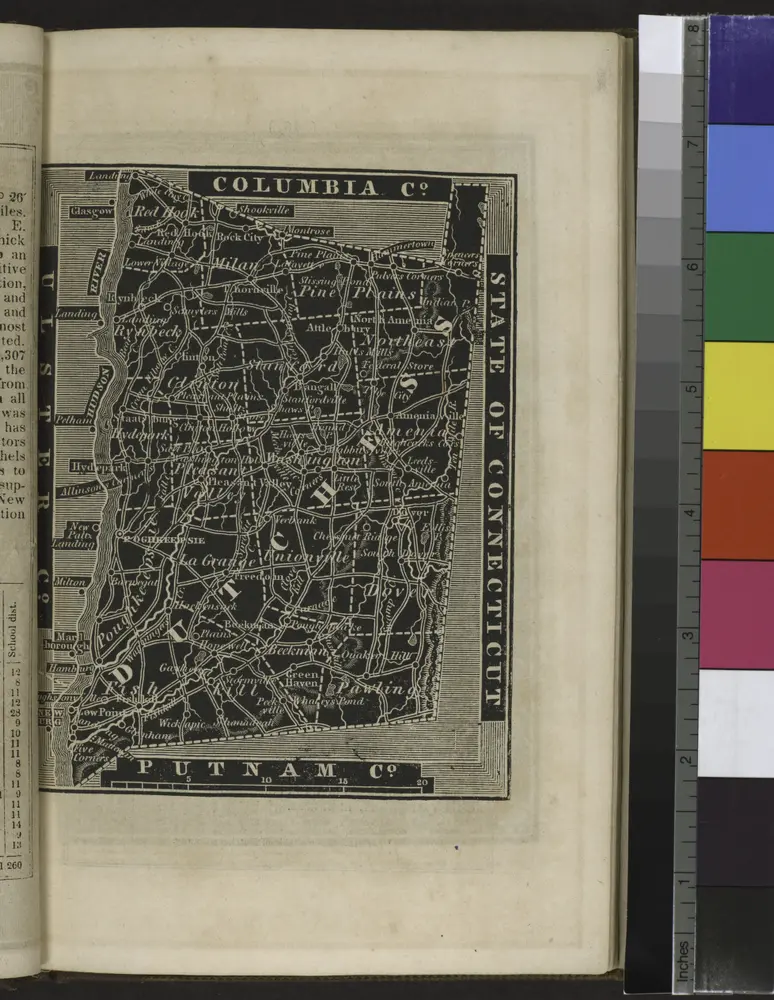
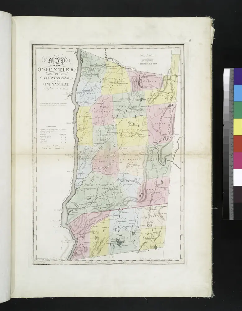
Old maps of Rosendale (CDP), New York
Discover the past of Rosendale (CDP), New York on historical maps
Looking for a Google Maps API Alternative?