Maps of Perret, Côtes-d'Armor
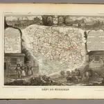 1856|Levasseur, Victor.1:568 000
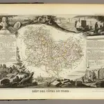 1856|Levasseur, Victor.1:571 000
 1830|Society for the Diffusion of Useful Knowledge (Great Britain)1:1 800 000
 1854|Stieler, Adolf
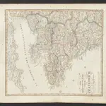 1833|Stieler, Adolf
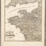 1851|Stulpnagel, F.v.1:1 850 000
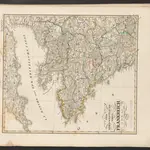 1845|Stieler, Adolf
Old maps of Perret, Côtes-d'Armor
Discover the past of Perret, Côtes-d'Armor on historical maps
Old maps of Perret, Côtes-d'Armor
Discover the past of Perret, Côtes-d'Armor on historical maps
Looking for a Google Maps API Alternative?