Project
Community
News
My App
My maps
Maps of Hatné
Advanced search
All
Private
Favorites
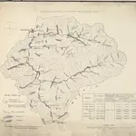
Niederschlags-Gebiet der Vsetiner und Rožnauer Bečva
1851|s.n.
1:80 180
Niederschlags-Gebiet der Vsetiner und Rožnauer Bečva
1851|s.n.
1:80 180
Návrh sítě železnic a silnic na Moravě
1870|Perna, Martin
1:223 052
Uibersichtskarte der Katastral-Gemeinden und Steueramts-Bezirke in Maehren
1858|s.n.]
1:118 000
Umgebungen von Sillein und Puchov
1873|Militärgeographisches Institut
1:144 000
Die Markgraftschaft Mähren
1840|Schenkl, Conrad Philipp
1:22 000
Der Hradischer Kreis
1846|Schenkl, Conrad Philipp
1:190 000
1600
1650
1700
1750
1800
1850
1900
1950
2000
History
Old maps of Hatné
Discover the past of Hatné on historical maps
Old maps of Hatné
Discover the past of Hatné on historical maps
Explore Maps
Discover History
Parent places
Považská Bystrica District
Related places
© MapTiler
© OpenStreetMap
 1851|s.n.1:80 180
 1851|s.n.1:80 180
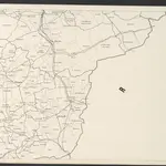 1870|Perna, Martin1:223 052
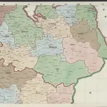 1858|s.n.]1:118 000
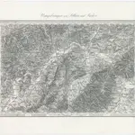 1873|Militärgeographisches Institut1:144 000
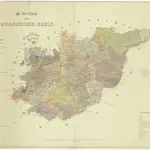 1840|Schenkl, Conrad Philipp1:22 000
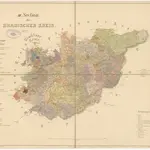 1846|Schenkl, Conrad Philipp1:190 000