Maps of Gyöngyöshalász
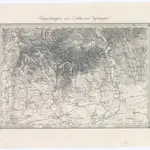 1873|Militärgeographisches Institut1:144 000
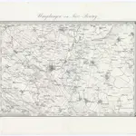
 1873|Militärgeographisches Institut1:144 000
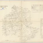 18401:290 000
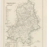 18401:288 000
 18401:288 000
 1873|Militärgeographisches Institut1:300 000
 18401:280 000
Old maps of Gyöngyöshalász
Discover the past of Gyöngyöshalász on historical maps
Old maps of Gyöngyöshalász
Discover the past of Gyöngyöshalász on historical maps
Looking for a Google Maps API Alternative?