


Makó und Nagy-Szt. Miklós
1884
Schmidt
1:75k

Főldeak und Mezőhegyes
1886
Rohn, Karl
1:75k
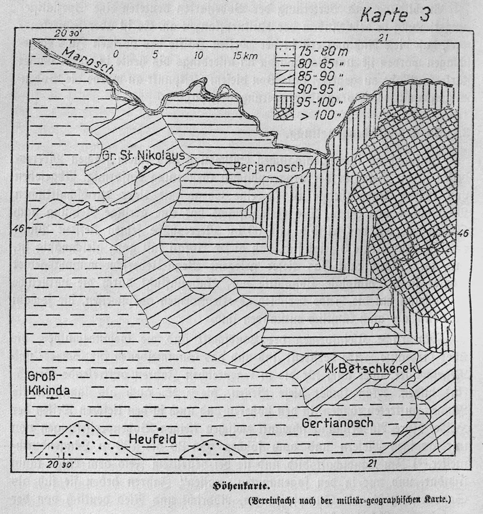
Höhenkarte
1938
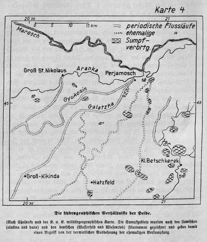
Die hydrographischen Verhältnisse der Heide
1938
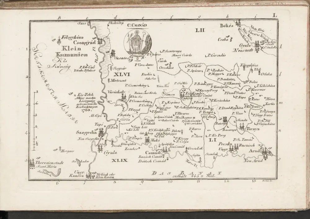
C. Csanád
1804
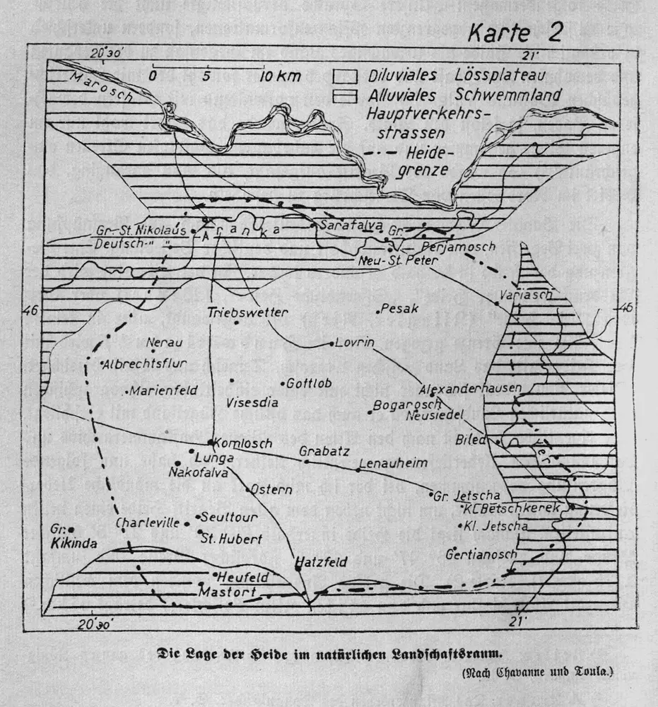
Die Lage der Heide im natürlichen Landschaftsraum
1938
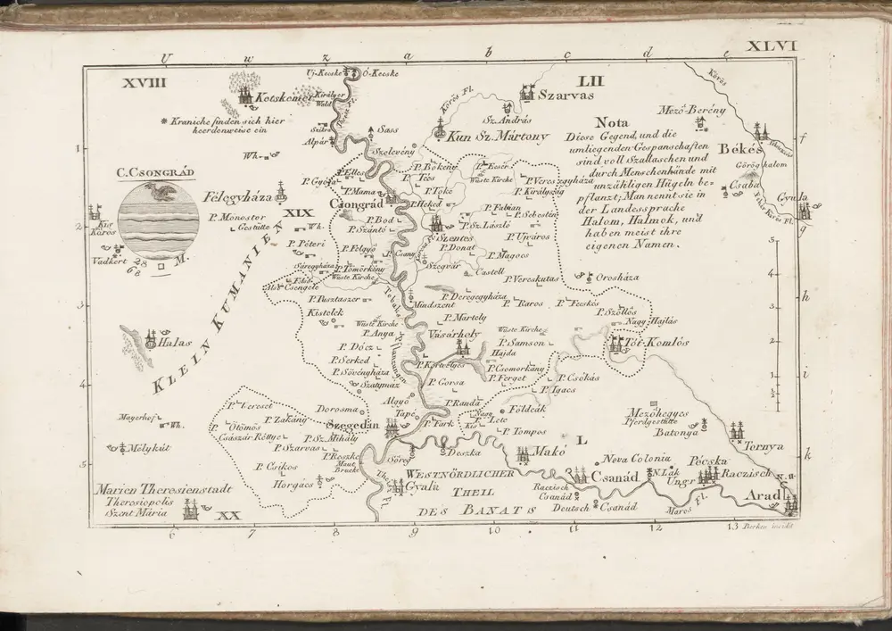
C. Csongrád
1804
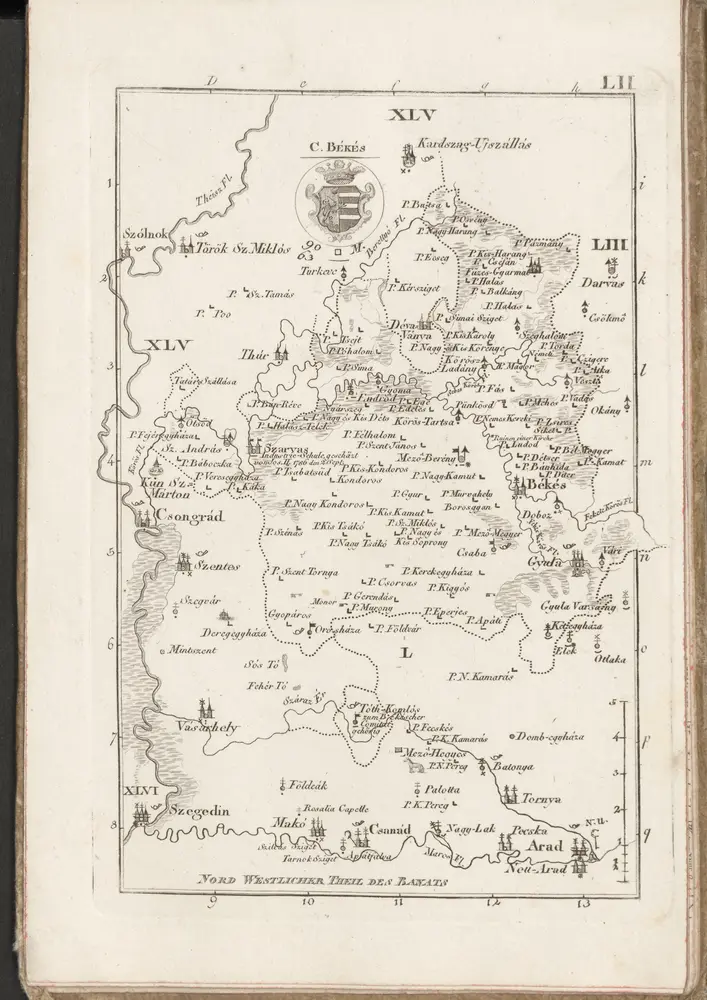
C. Békés
1804

Arad
1944
Herausgegeben vom OKH / Gen St d H
1:300k
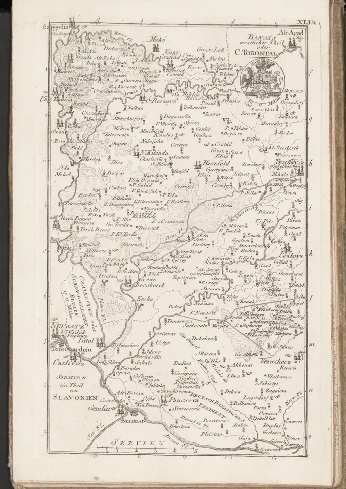
C. Torontal
1804


Old maps of Csanádpalota
Discover the past of Csanádpalota on historical maps
Old maps of Csanádpalota
Discover the past of Csanádpalota on historical maps
Looking for a Google Maps API Alternative?