Maps of Balatonfőkajár
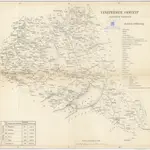 18401:280 000
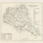
 18401:280 000
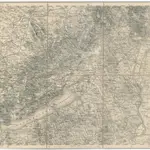 1875|Militärgeographisches Institut1:300 000
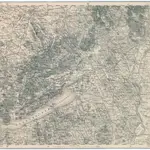 1875|Militärgeographisches Institut1:300 000
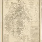
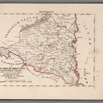 1828|Hermann, O.1:200 000
 1841|Vizer, Stephan1:240 000
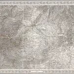 1856|[Wien : K.K. Militärisch-Geografisches Institut]1:576 000
Old maps of Balatonfőkajár
Discover the past of Balatonfőkajár on historical maps
Old maps of Balatonfőkajár
Discover the past of Balatonfőkajár on historical maps
Looking for a Google Maps API Alternative?