

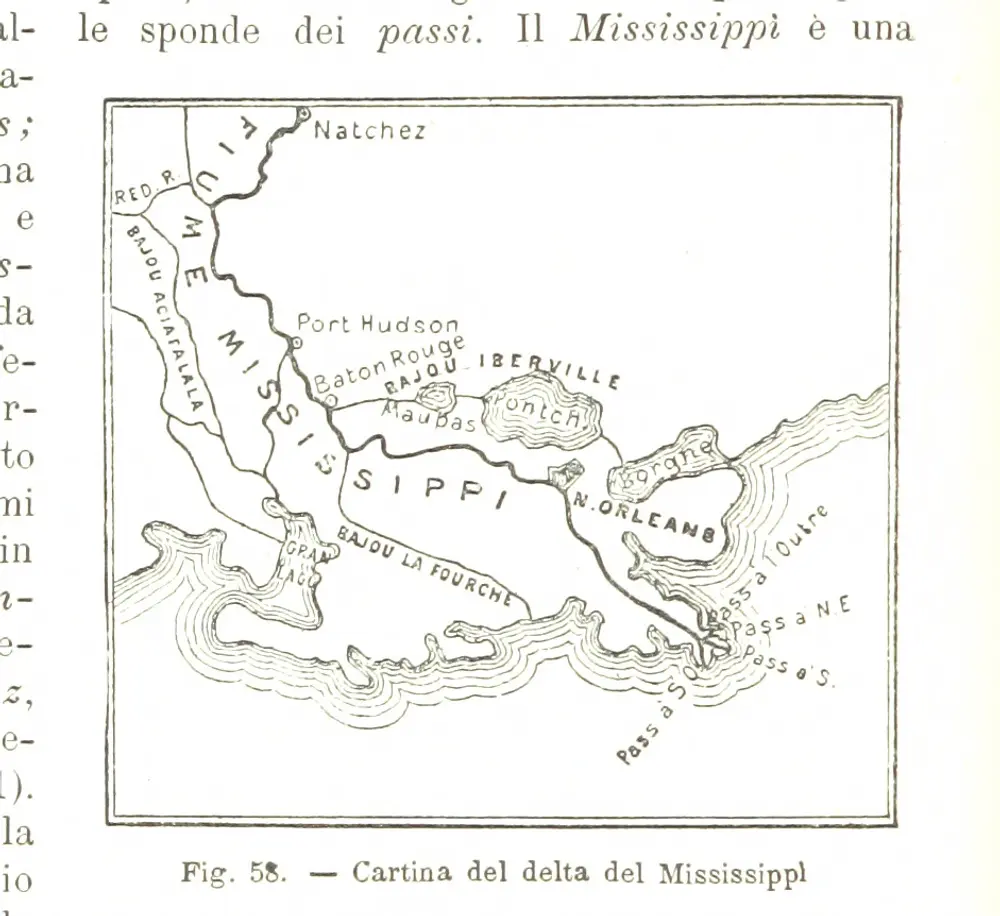
La Terra, trattato popolare di geografia universale per G. Marinelli ed altri scienziati italiani, etc. [With illustrations and maps.]
1898
MARINELLI, Giovanni Professor of Geography at Padua
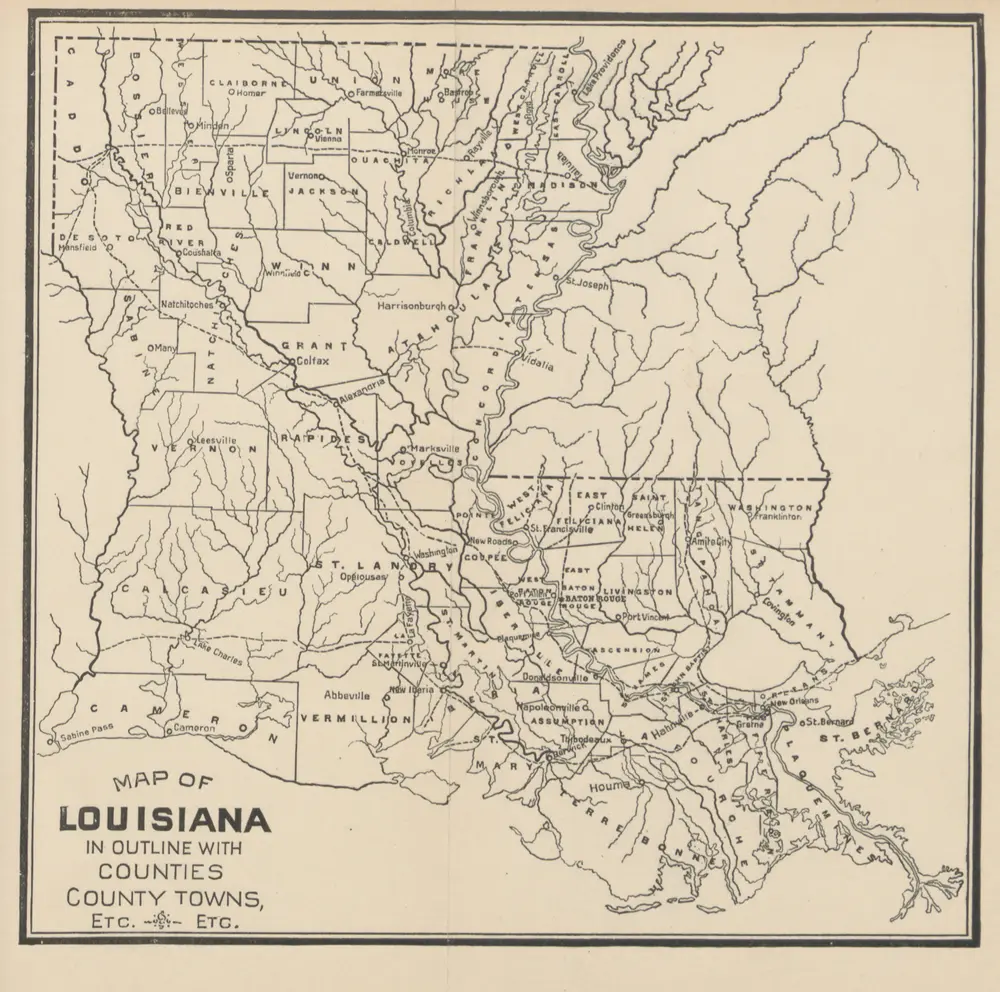
The Story of Louisiana ... Illustrations by L. J. Bridgman
1889
THOMPSON, Maurice.
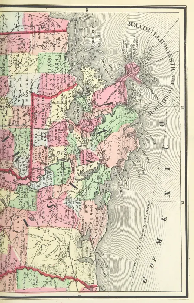
A Chronological History of the Civil War in America, illustrated with A. I. Johnson's and I. H. Colton's Steelplate Maps and Plans of the Southern States and Harbors
1863
FISHER, Richard Swainson.
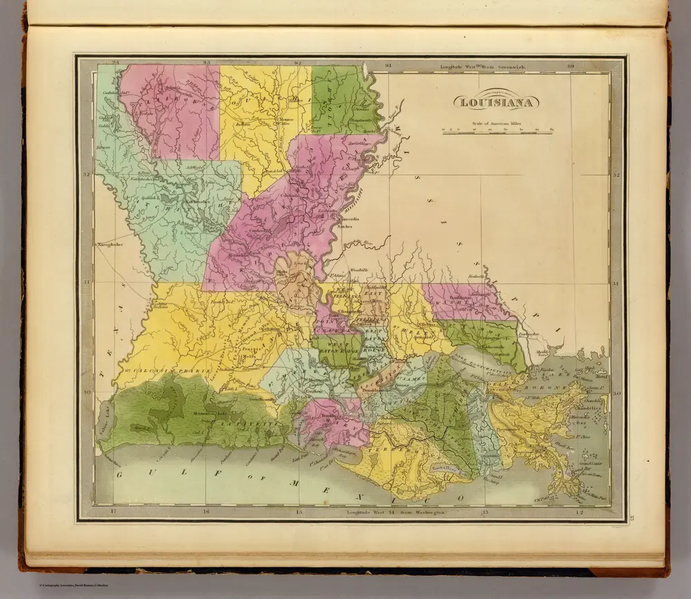
Louisiana.
1840
Greenleaf, Jeremiah
1:2m
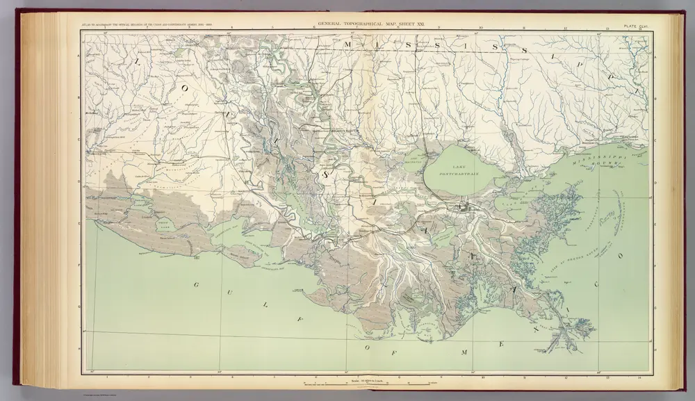
Gen. map XXI.
1895
United States. War Department
1:634k
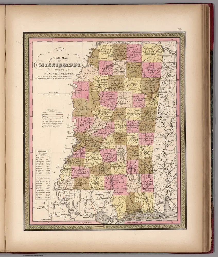
Mississippi.
1850
Mitchell, Samuel Augustus
1:2m
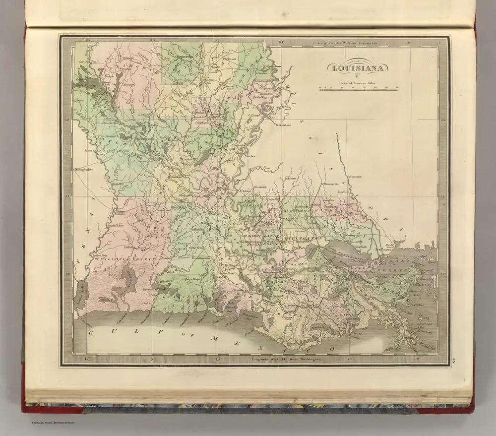
Louisiana.
1848
Greenleaf, Jeremiah
1:2m
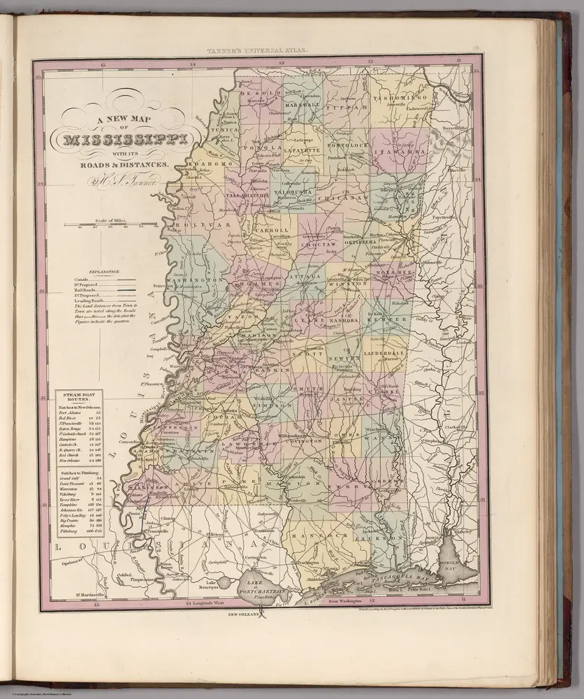
Mississippi.
1836
Tanner, Henry S.
1:2m
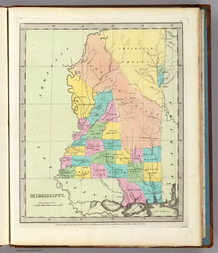
Mississippi.
1835
Burr, David H., 1803-1875
1:3m
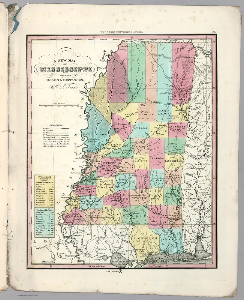
Mississippi.
1834
Tanner, Henry S.
1:2m

