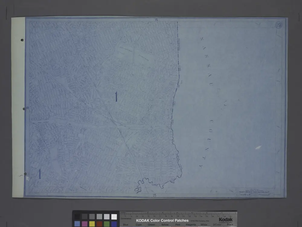
Cataloged map
Height District Map Section No. 19; Height district map / City of New York, Board of Estimate and Apportionment.
Full title:Height District Map Section No. 19; Height district map / City of New York, Board of Estimate and Apportionment.
Depicted:1916
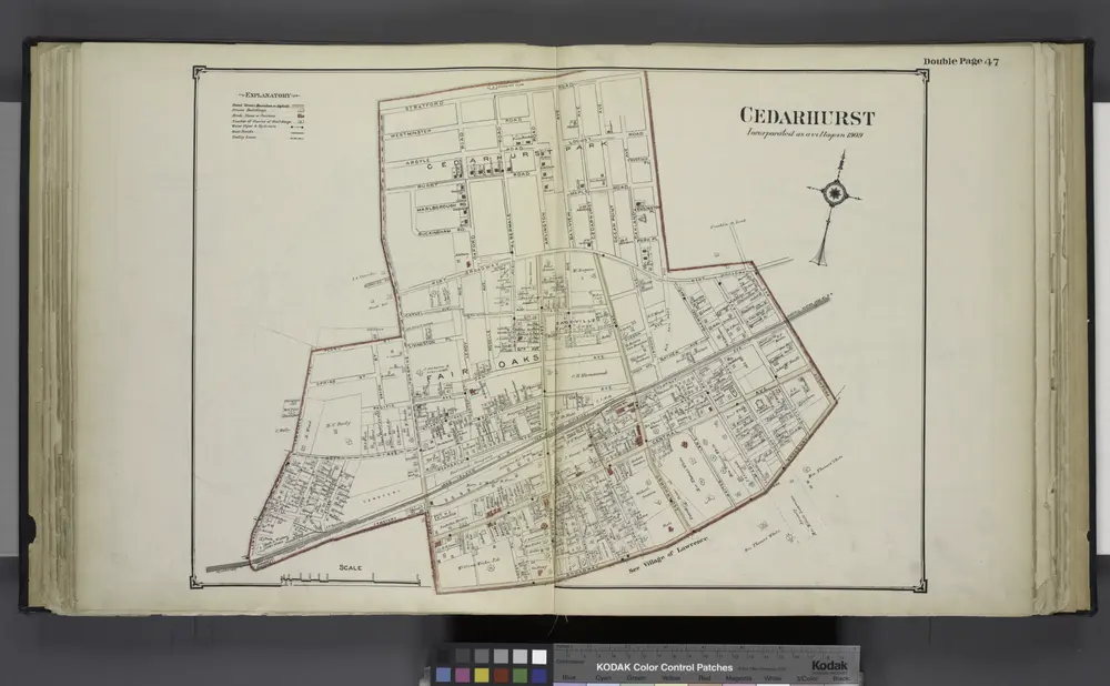
Cedarhurst
1914
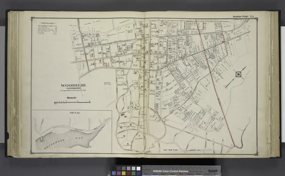
Woodmere (Woodburgh); Sub Plan
1914

Height District Map Section No. 25; Height district map / City of New York, Board of Estimate and Apportionment.
1916
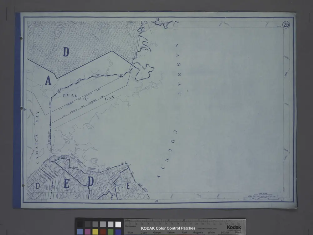
Area District Map Section No. 25; Area district map / City of New York, Board of Estimate and Apportionment.
1916
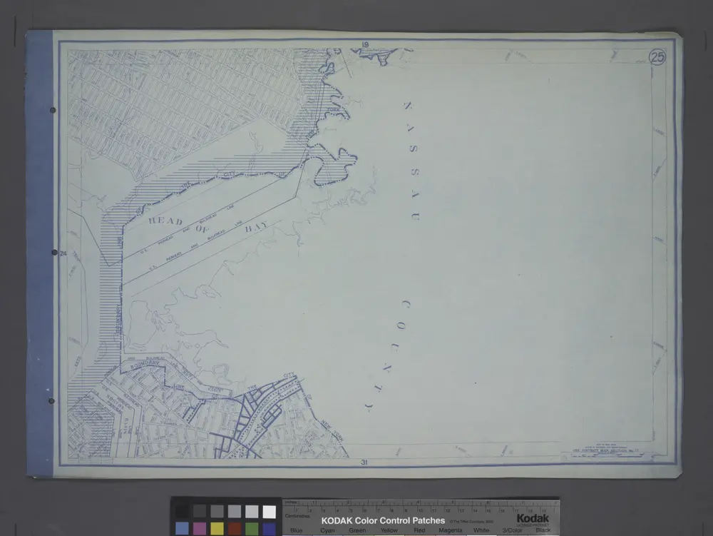
Use District Map Section No. 25; Use district map / City of New York, Board of Estimate and Apportionment.
1916
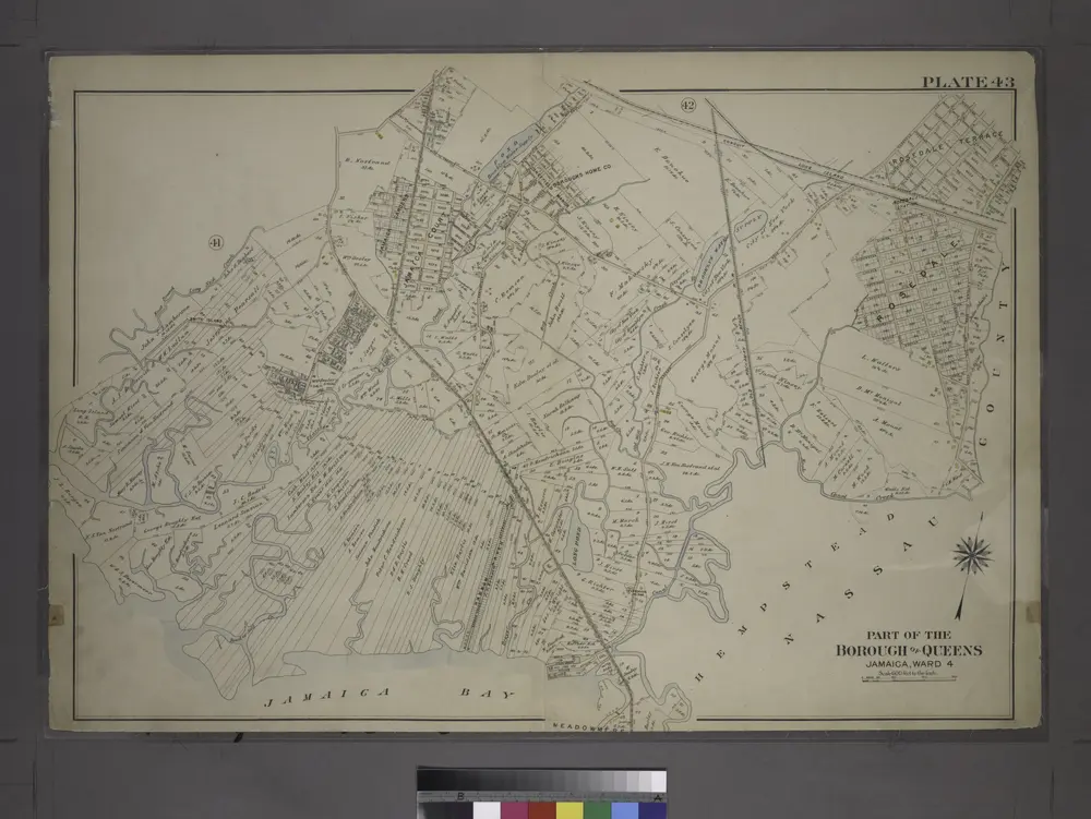
Part of the Borough of Queens, Jamaica, Ward 4.
1909
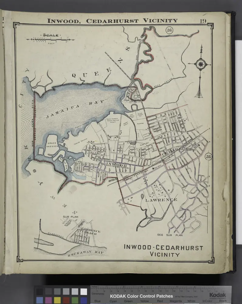
Inwood, Cedarhurst Vicinity
1914
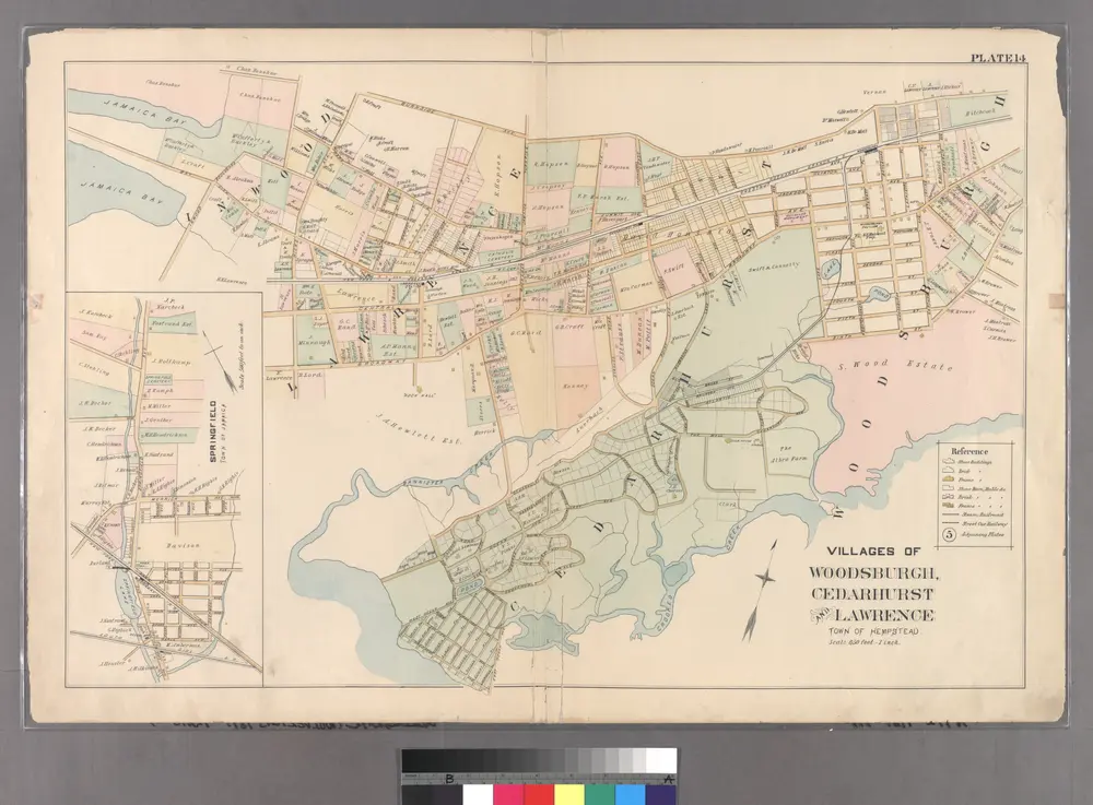
Plate 14: Villages of Woodsburgh, Cedarhurst and Lawrence, Town of Hempstead.
1891
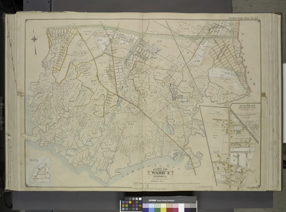
Queens, Vol. 1, Double Page Plate No. 19; Part Of Ward 4; Jamaica; [Map bounded by Conduit Long Island R.R., Boundary Line Of The City of New York; Including Hook Canal Creek, Jamaica Bay, Dead or Salt Creek.]; Sub Plan From Plate No. 17 [Map bou
1912
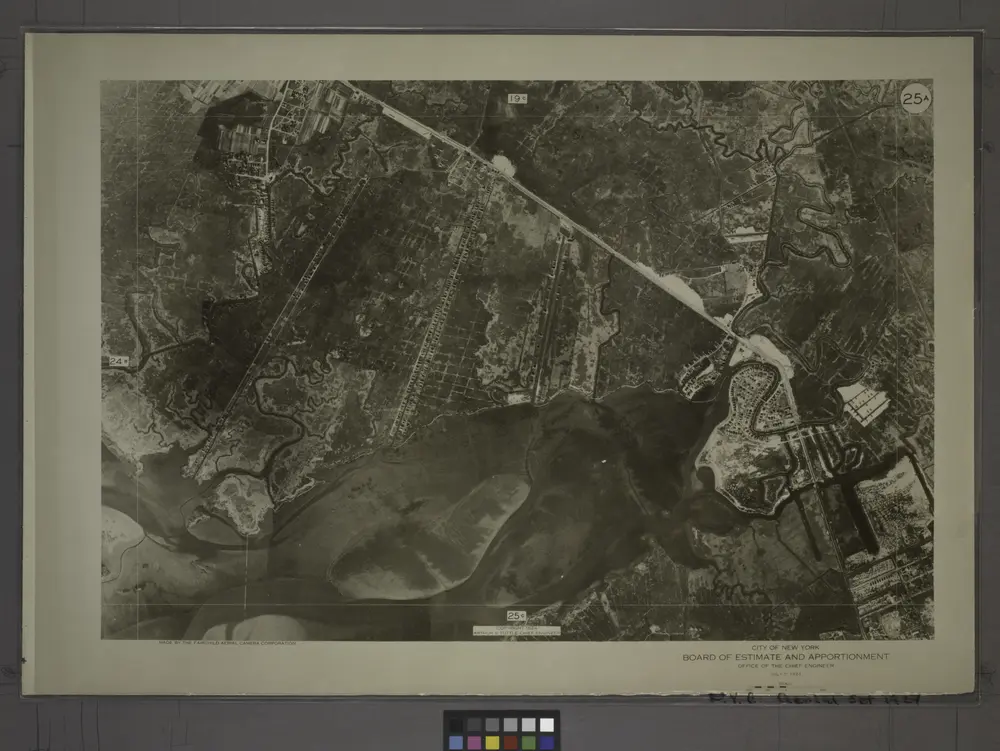
25A - N.Y. City (Aerial Set).
1924


