Projekt
Gemeinschaft
Nachrichten
Meine App
Meine Karten
Cataloged map
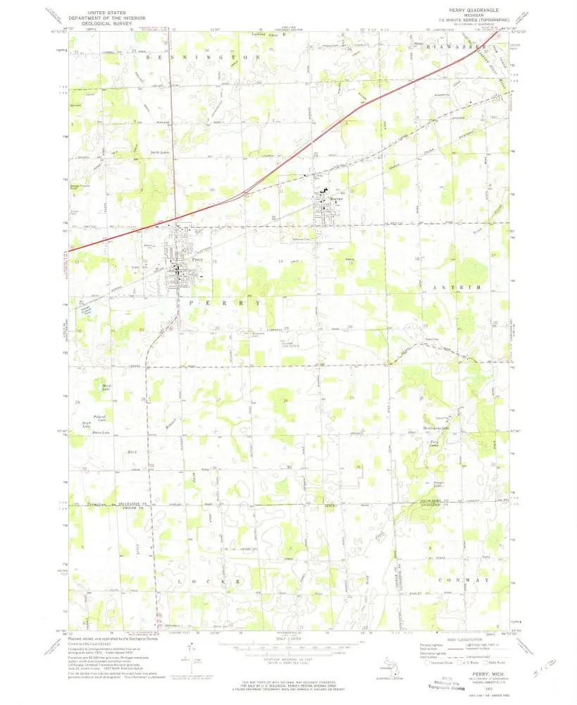
Perry
Ansicht auf externer Website
Digitalisierte Bilder ansehen
Institution:
United States Geological Survey
Full title:
Perry
Depicted:
1972
Pubdate:
1975
Map scale:
1:24 000
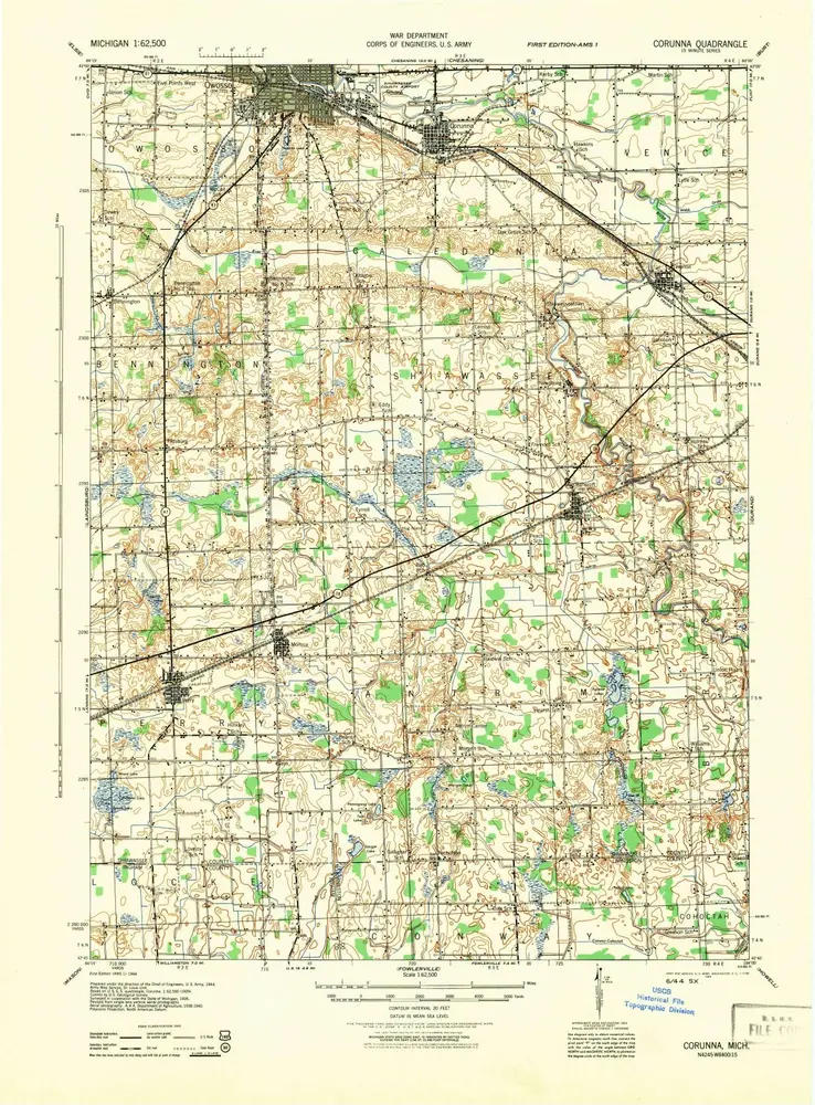
Corunna
1944
1:63k
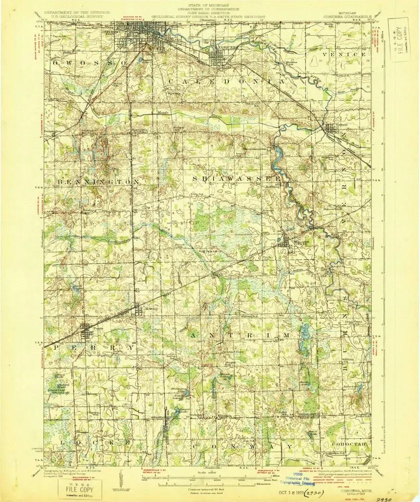
Corunna
1929
1:63k
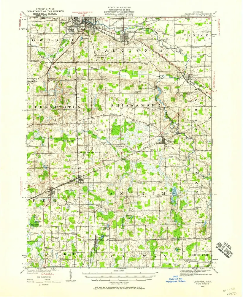
Corunna
1926
1:63k
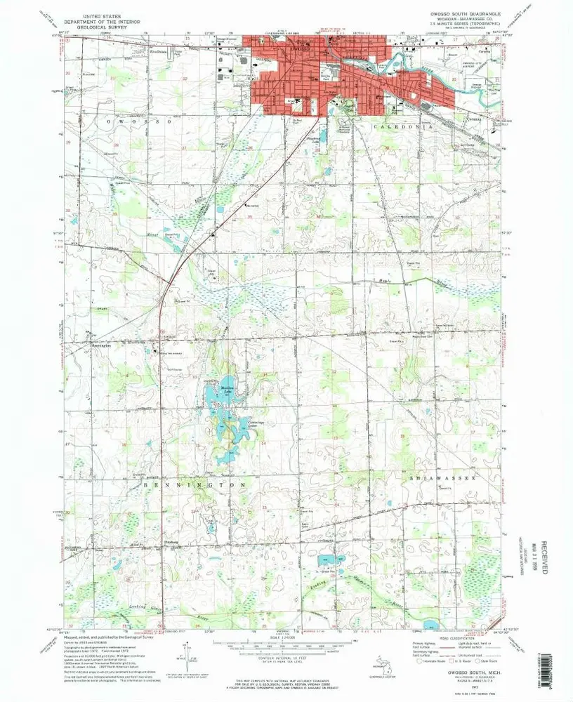
Owosso South
1972
1:24k
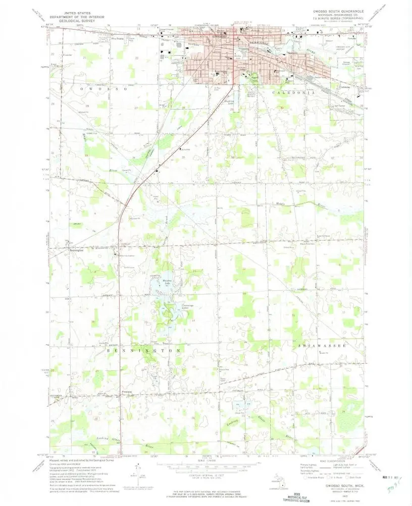
Owosso South
1972
1:24k
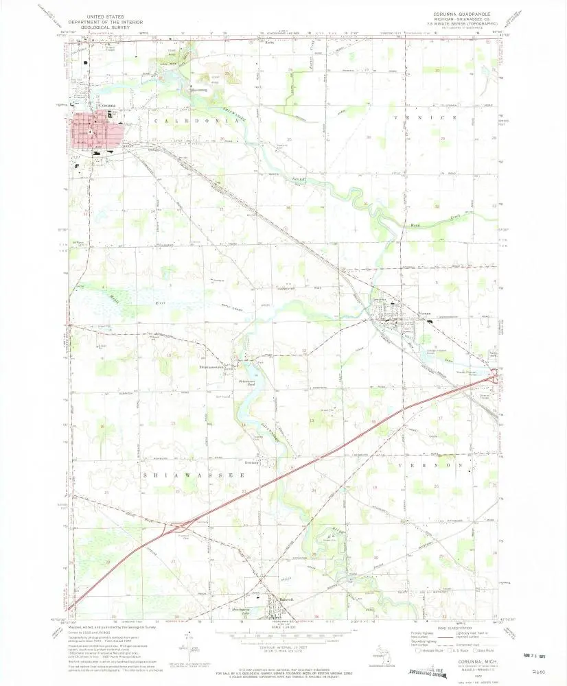
Corunna
1972
1:24k
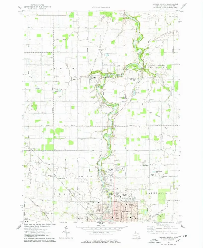
Owosso North
1974
1:24k
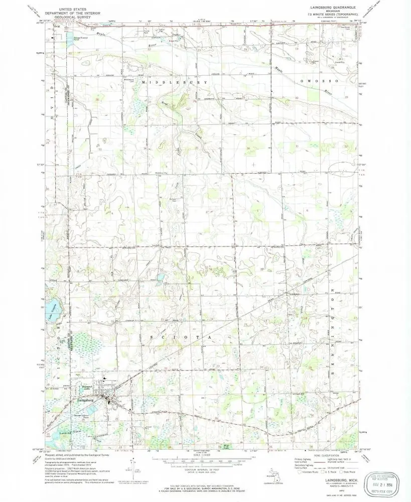
Laingsburg
1972
1:24k
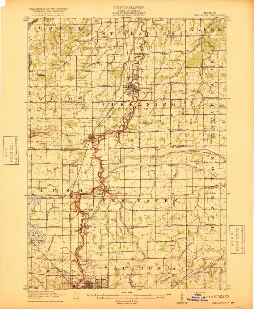
Chesaning
1917
1:63k
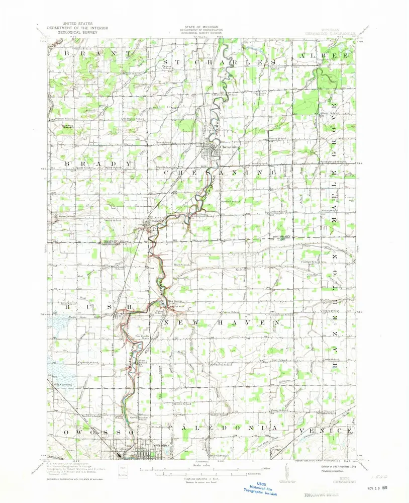
Chesaning
1917
1:63k
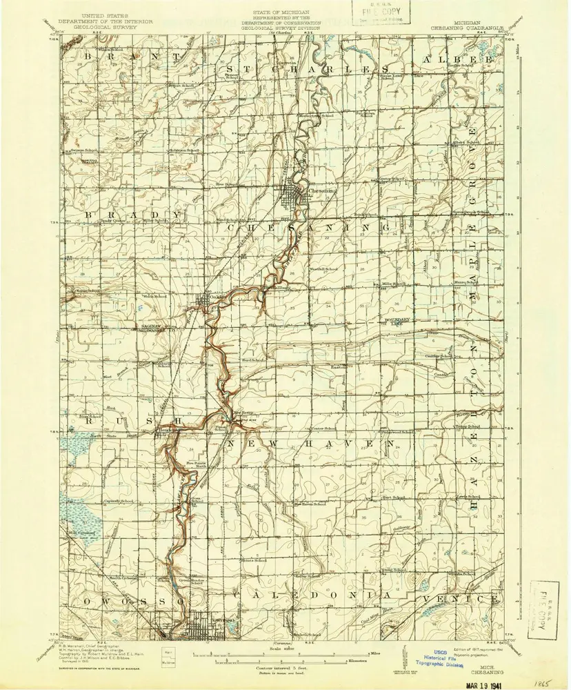
Chesaning
1917
1:63k
History