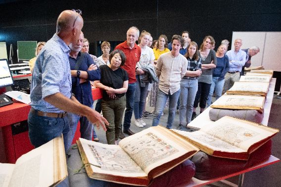
A new crowdsourcing project of Utrecht University Library! A total of 847 maps from “Atlas Maior” and “Toonneel der Steden” by Joan Blaeu have been added to Georeferencer application and are ready for georeferencing. The Atlas Maior is the final version of Joan Blaeu’s atlas published in Amsterdam in 1662-1672, which contains 594 maps and approximately 3.000 pages of text, and was the largest and most expensive book published in the seventeenth century.
For more information about this collection please visit: https://www.uu.nl/en/special-collections/the-treasury/maps-and-atlases/atlas-maior-by-blaeu and help to match scanned historical maps to the real world at: https://uu.georeferencer.com/start


