

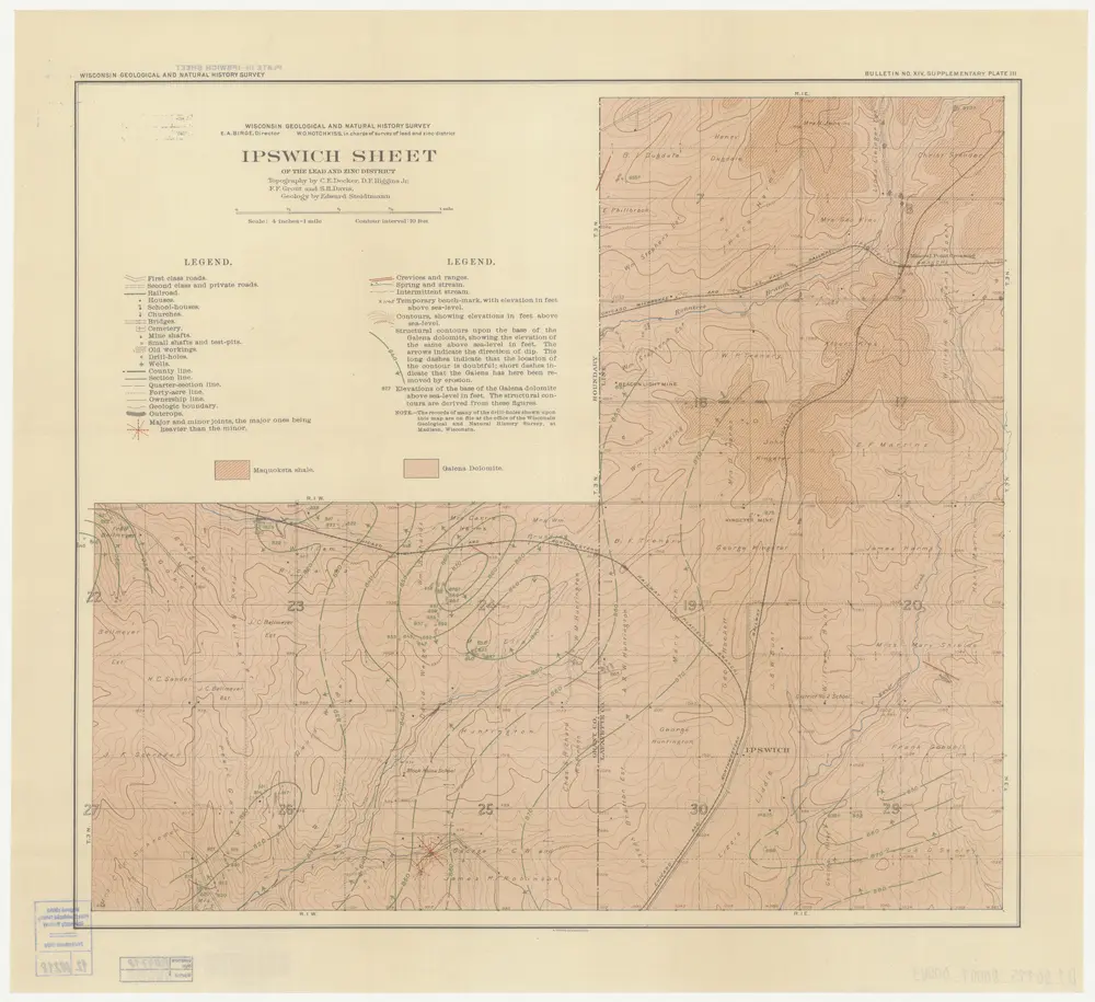
Ipswich sheet of the lead and zinc district
1909
Wisconsin Geological and Natural History Survey
1:16k
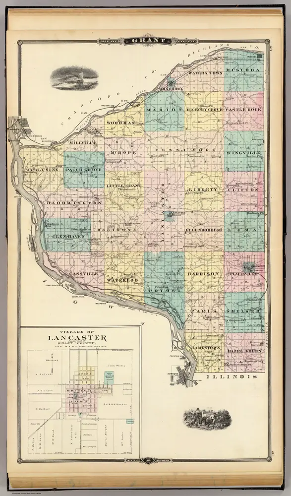
Map of Grant County and Village of Lancaster, State of Wisconsin.
1878
Snyder, Van Vechten & Co.
1:150k
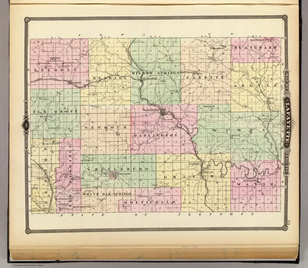
Map of Lafayette County, State of Wisconsin.
1878
Snyder, Van Vechten & Co.
1:127k
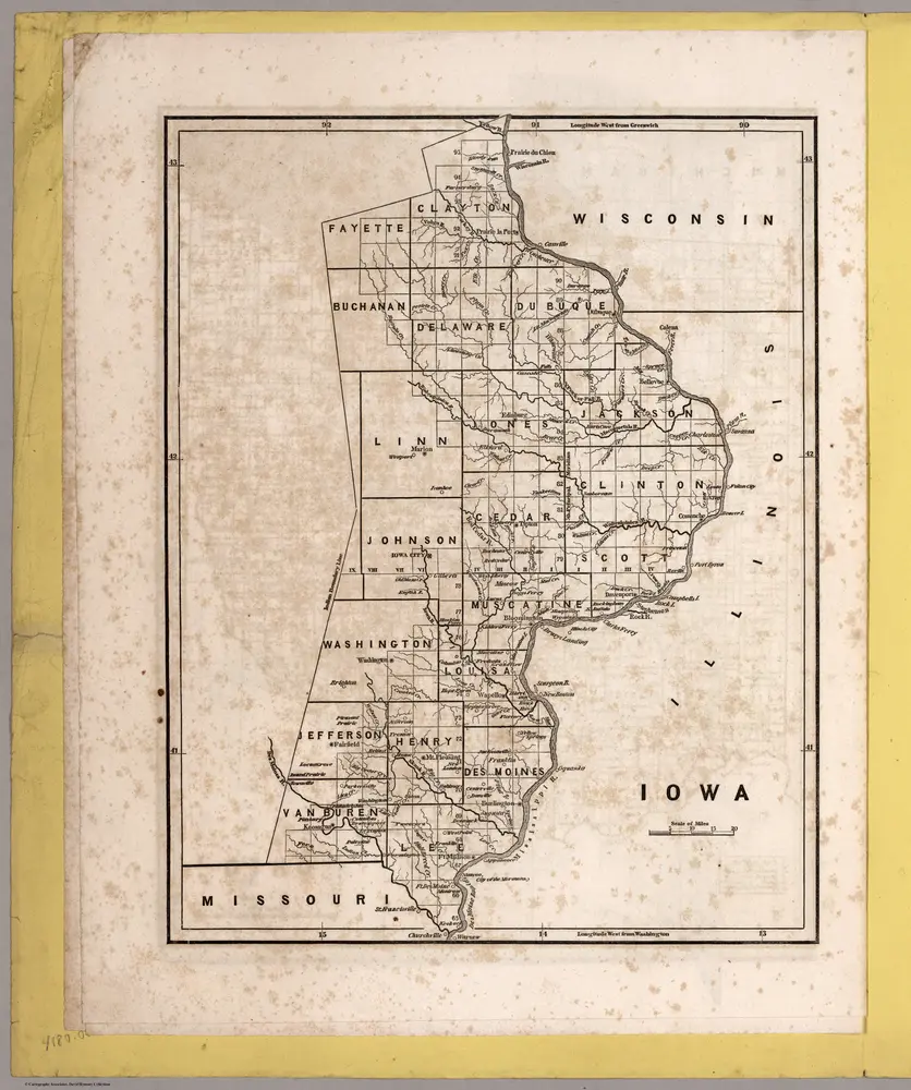
Iowa
1842
Breese, S.
1:900k

Iowa.
1842
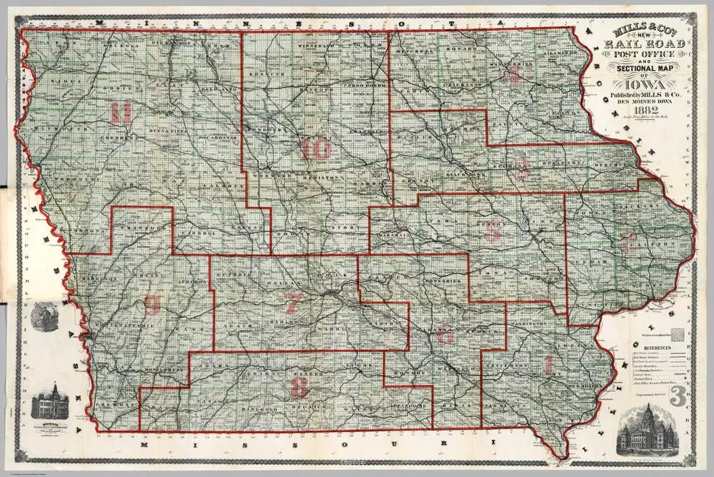
Map Of Iowa
1882
Mills & Co.
1:570k
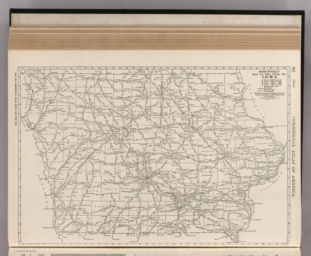
Iowa.
1924
Rand McNally and Company
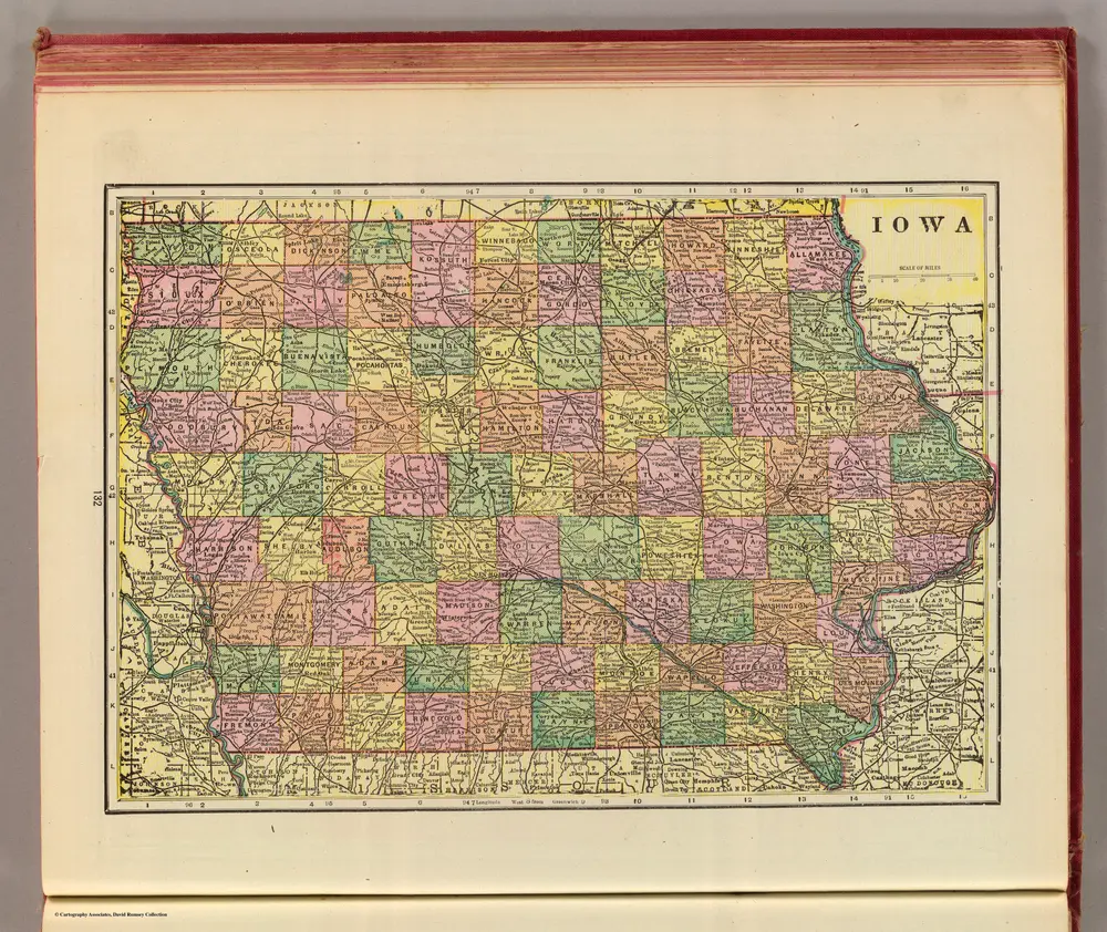
Iowa.
1909
Cram, George Franklin; Davis, Ellis Arthur
1:2m
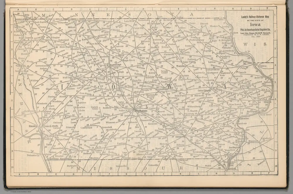
Railway Distance Map of the State of Iowa
1934
Leahy, J.F.
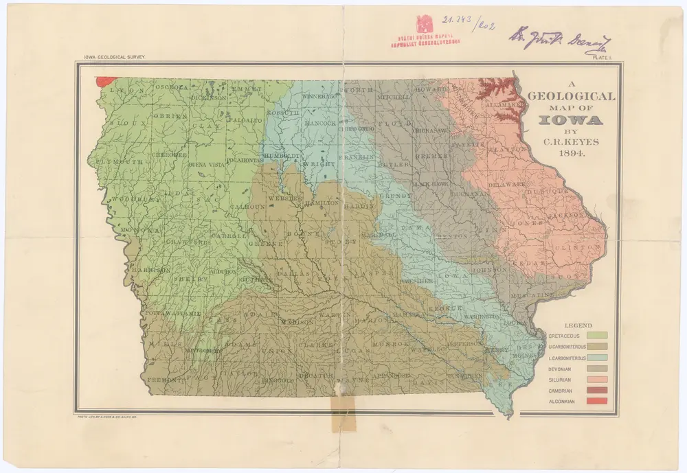
A geological map of Iowa
1894
Keyes, Charles Rollin


Alte Karten von Platteville, Wisconsin
Entdecken Sie die Vergangenheit von Platteville, Wisconsin auf historischen Karten
Alte Karten von Platteville, Wisconsin
Entdecken Sie die Vergangenheit von Platteville, Wisconsin auf historischen Karten
Suche nach einem Google Maps API Alternative?