

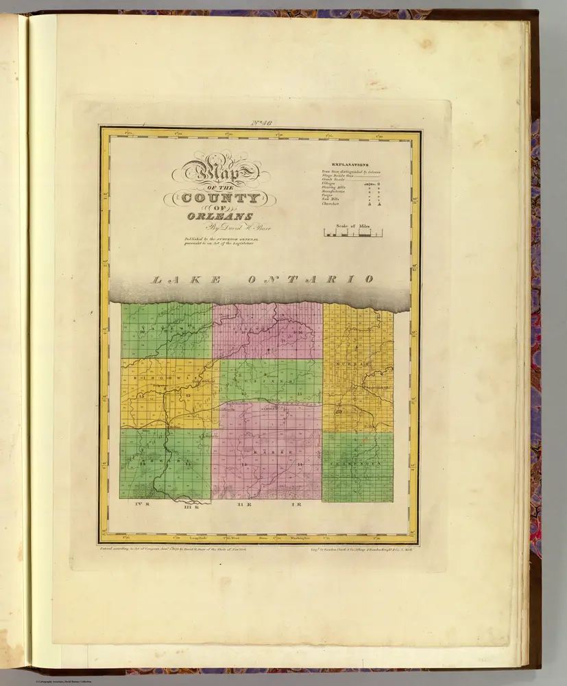
Orleans County.
1829
Burr, David H., 1803-1875
1:151k
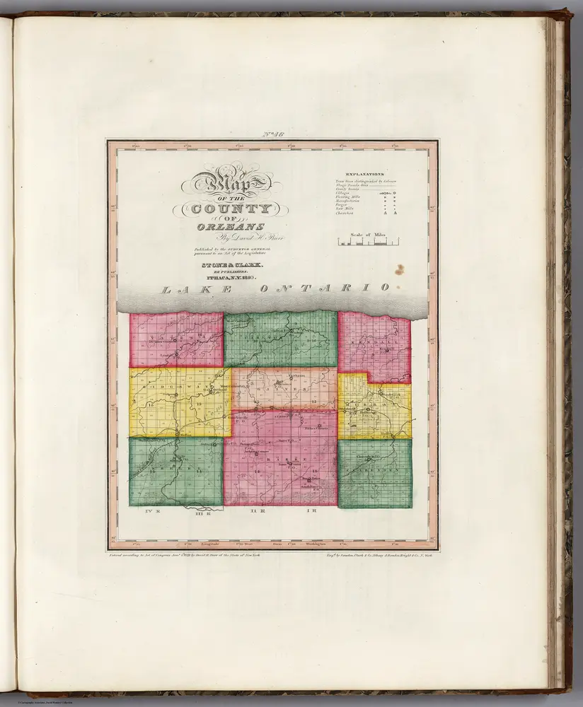
Map of the County of Orleans (New York).
1840
Burr, David H., 1803-1875
1:167k
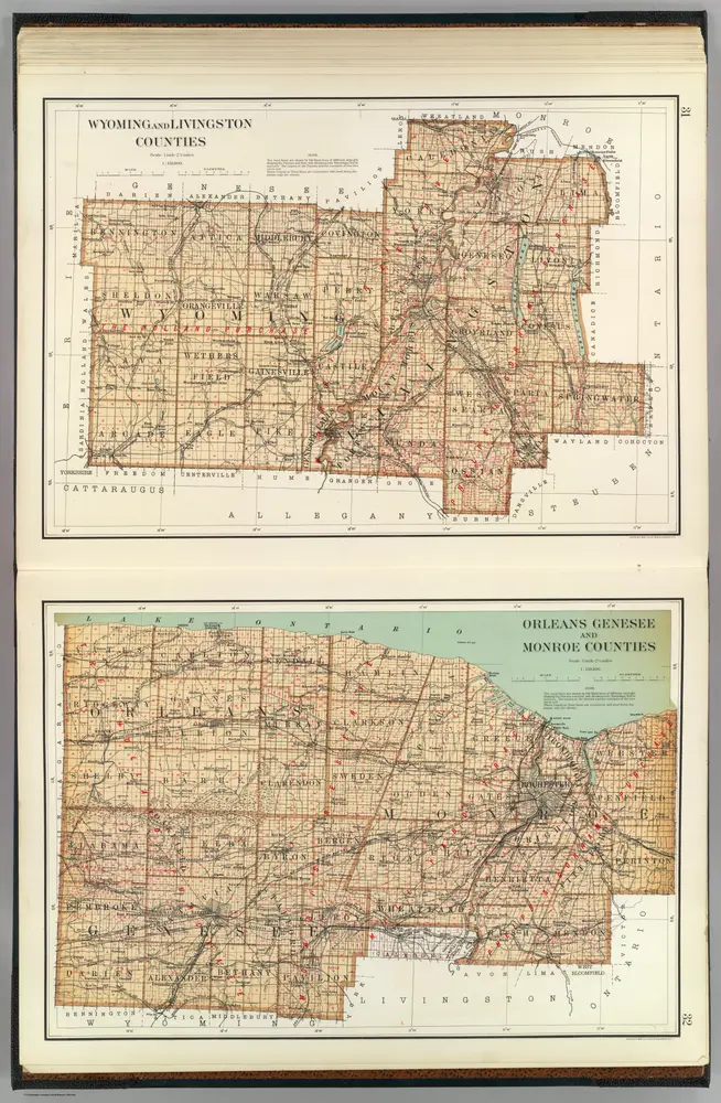
Wyoming, Livingston, Orleans, Genesee, Monroe counties.
1895
Bien, Joseph Rudolf
1:158k

Outline Plan of Niagara & Orleans Counties
1875
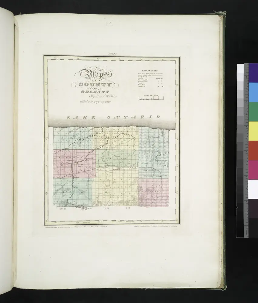
Map of the county of Orleans / by David H. Burr; engd. by Rawdon, Clark & Co., Albany, & Rawdon, Wright & Co., N. York.; An atlas of the state of New York: containing a map of the state and of the several counties. / Projected and drawn under the superintendence and direction of Simeon de Witt ... And also the physical geography of the State ...
1829

Genesee County
1876
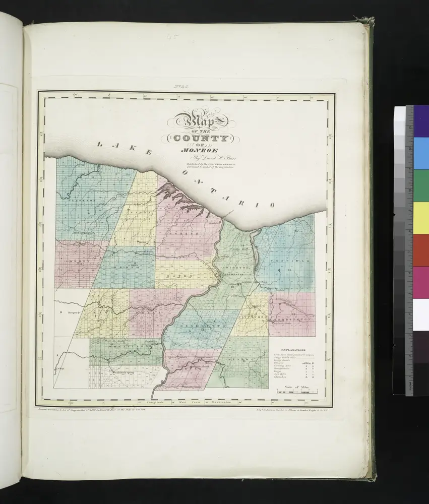
Map of the county of Monroe / by David H. Burr; engd. by Rawdon, Clark & Co., Albany, & Rawdon, Wright & Co., New York.; An atlas of the state of New York: containing a map of the state and of the several counties. / Projected and drawn under the superintendence and direction of Simeon de Witt ... And also the physical geography of the State ...
1829
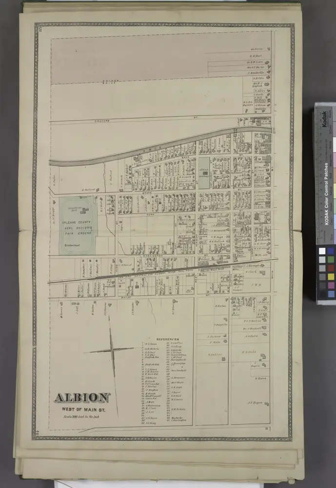
Albion West of Main St.
1875
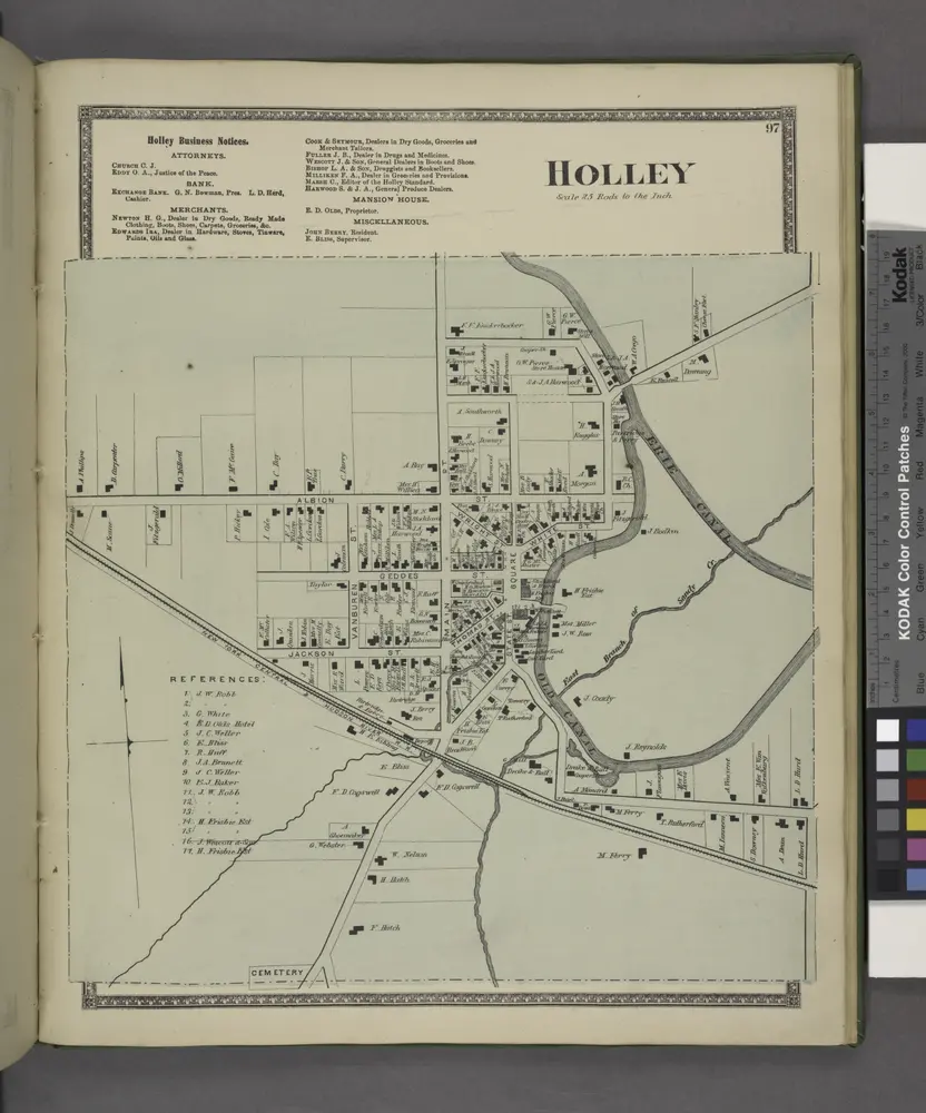
Holley Business Notices. ; Holley [Village]
1875
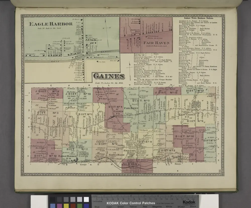
Gaines Town of Business Notices. ; Fair Haven [Village]; Gaines [Township]; Eagle Harbor [Village]
1875

