Projekt
Gemeinschaft
Nachrichten
Meine App
Meine Karten
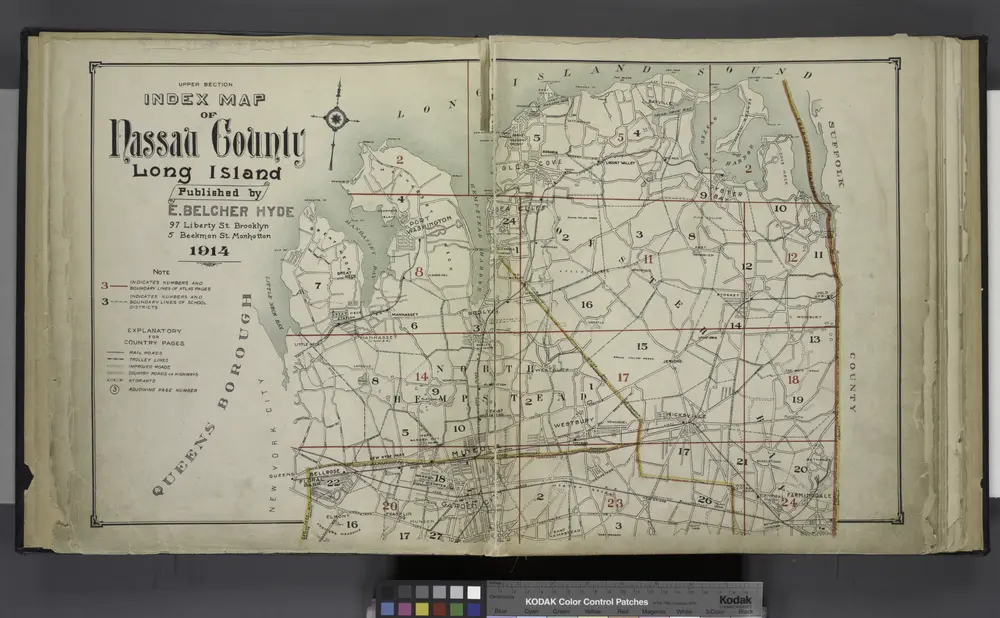
Upper section Index Map of Nassau County Long Island Published by E. Belcher Hype. 97 Liberty St. Brooklyn, 5 Beekman St. Manhattan. 1914.
1914
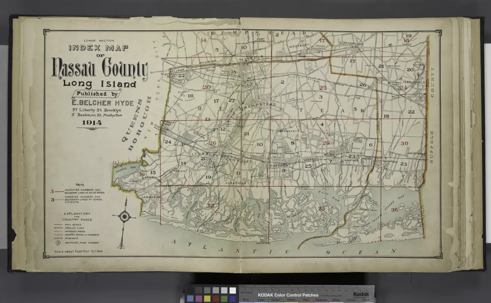
Lower section Index Map of Nassau County Long Island Published by E. Belcher Hype. 97 Liberty St. Brooklyn, 5 Beekman St. Manhattan. 1914.
1914
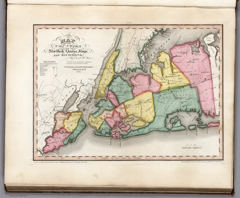
Map of the Counties of New York, Queens, Kings, and Richmond.
1839
Burr, David H., 1803-1875
1:163k
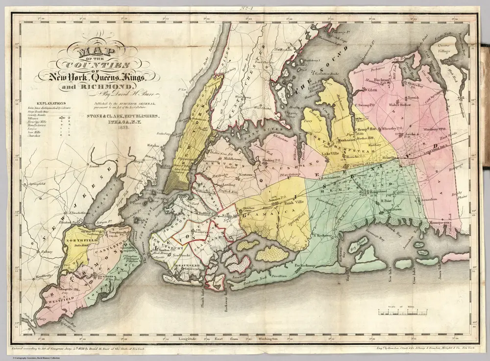
State Of New-York
1839
Burr, David H., 1803-1875
1:1m
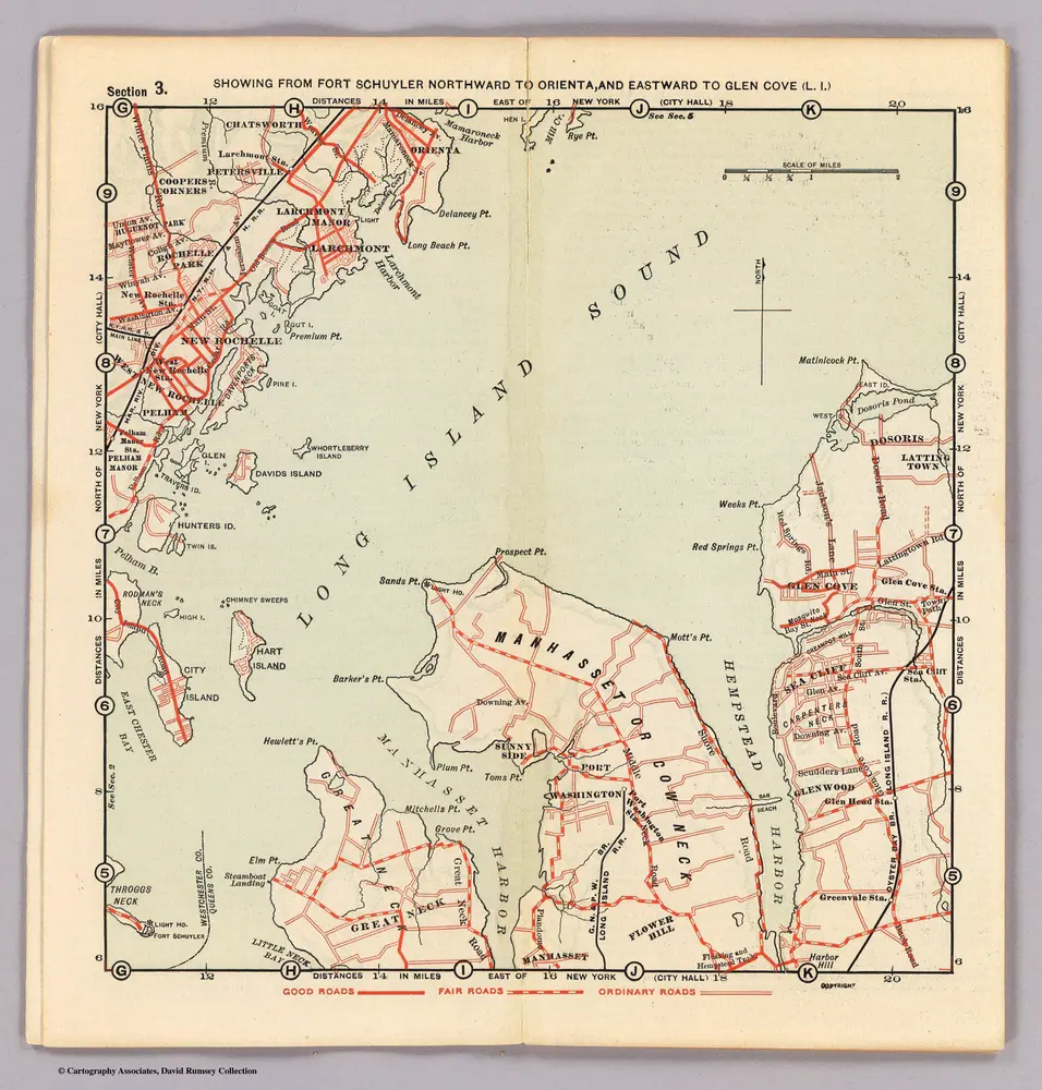
3. Ft. Schuyler-Orienta-Glen Cove.
1902
Servoss, R. D.
1:80k
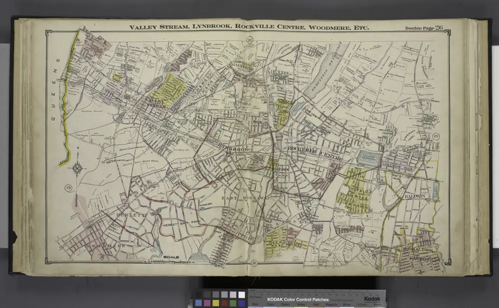
Valley Stream, Lynbrook, Rockville Centre, Woodmere, Etc.
1914
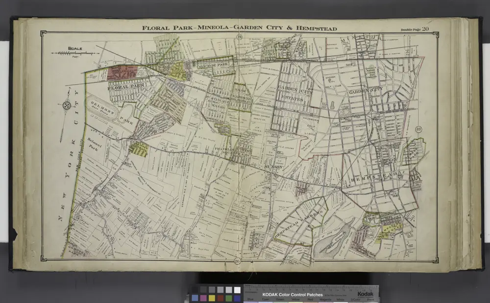
Floral Park - Mineola - Garden City & Hempstead
1914
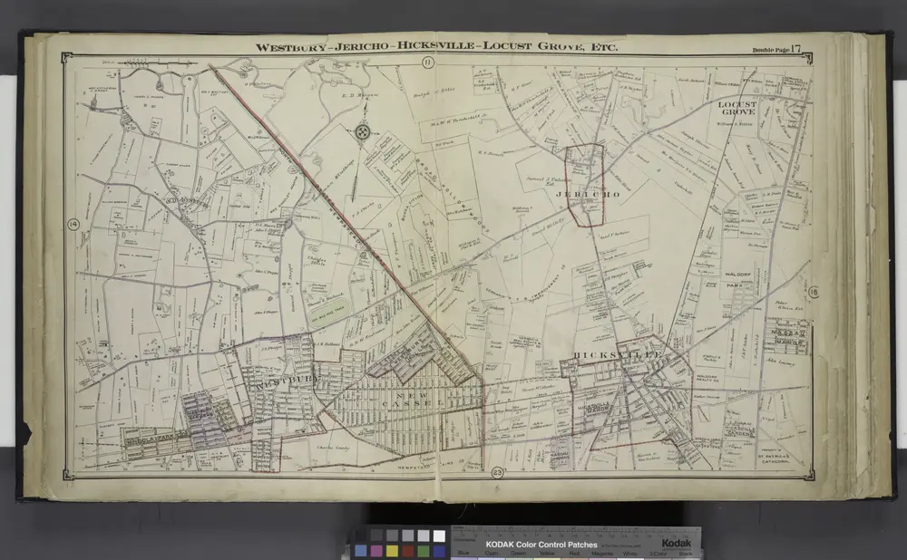
Westbury - Jericho - Hicksville - Locust - Grove, Etc.
1914
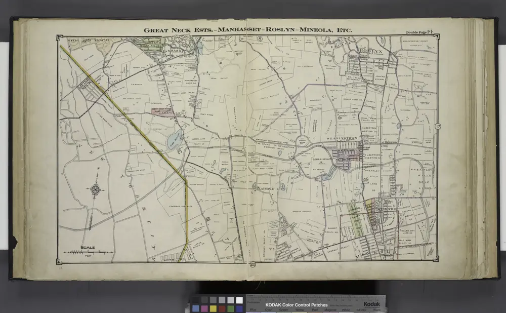
Great Neck Ests. - Manhasset - Roslyn - Mineola, Etc.
1914
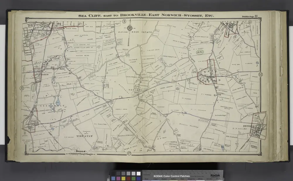
Sea Cliff, (East to) Brookville - East Norwich - Syosset, Etc.
1914
Historia
Alte Karten von Nassau County (New York)
Entdecken Sie die Vergangenheit von Nassau County (New York) auf historischen Karten
Alte Karten von Nassau County (New York)
Entdecken Sie die Vergangenheit von Nassau County (New York) auf historischen Karten
Karten erkunden
Geschichte entdecken
Übergeordnete Region
Verwandte Orte
Stadt
Bellerose Terrace
Stadt
East Atlantic Beach
Stadt
Elmont (New York)
Stadt
Glen Cove
Stadt
Glennwood Landing
Stadt
Locust Valley (New York)
Stadt
Long Beach (New York)
Stadt
Manhasset
Stadt
Massapequa (New York)
Stadt
Port Washington (New York)
Stadt
Syosset
Stadt
Uniondale (New York)
Stadt
Wantagh
Orte
Floral Park
Orte
Garden City (New York)
Orte
Hempstead (Town, New York)
Orte
Lynbrook
Orte
Roslyn (New York)
Orte
Uniondale (Südafrika)
Orte
Westbury (Tasmanien)