

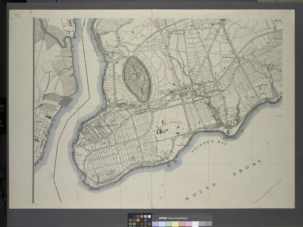
General map of the borough of Richmond (Staten Island) in the city of New York : showing in addition to the existing topographical features of the borough a tentative and preliminary plan for a street system of the same.
1901
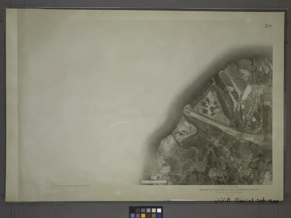
20A - N.Y. City (Aerial Set).
1924
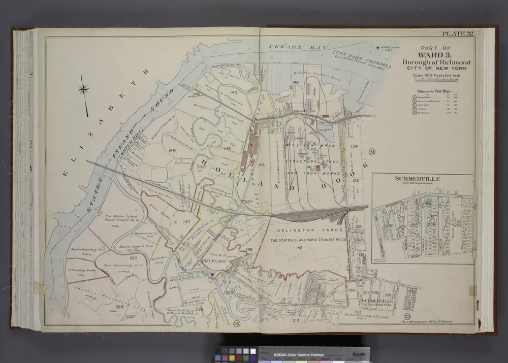
Part of Ward 3. [Map bound by State Line, Richmond (Shore Road) Terrace, Holland Ave, John St, Washington Ave, Irving PL, South Ave, Old Place Creek; Summerville - Washington Ave, South Ave, Irving PL, Garfield Ave, Dechen Ave]
1907

20B - N.Y. City (Aerial Set).
1924

Part of Ward 3. [Map bound by State Line, Richmond Terrace (Shore RD), Arlington Ave, Baltimore and Ohio Railroad, Western Ave, Washington Ave, Old Place Creek]
1917
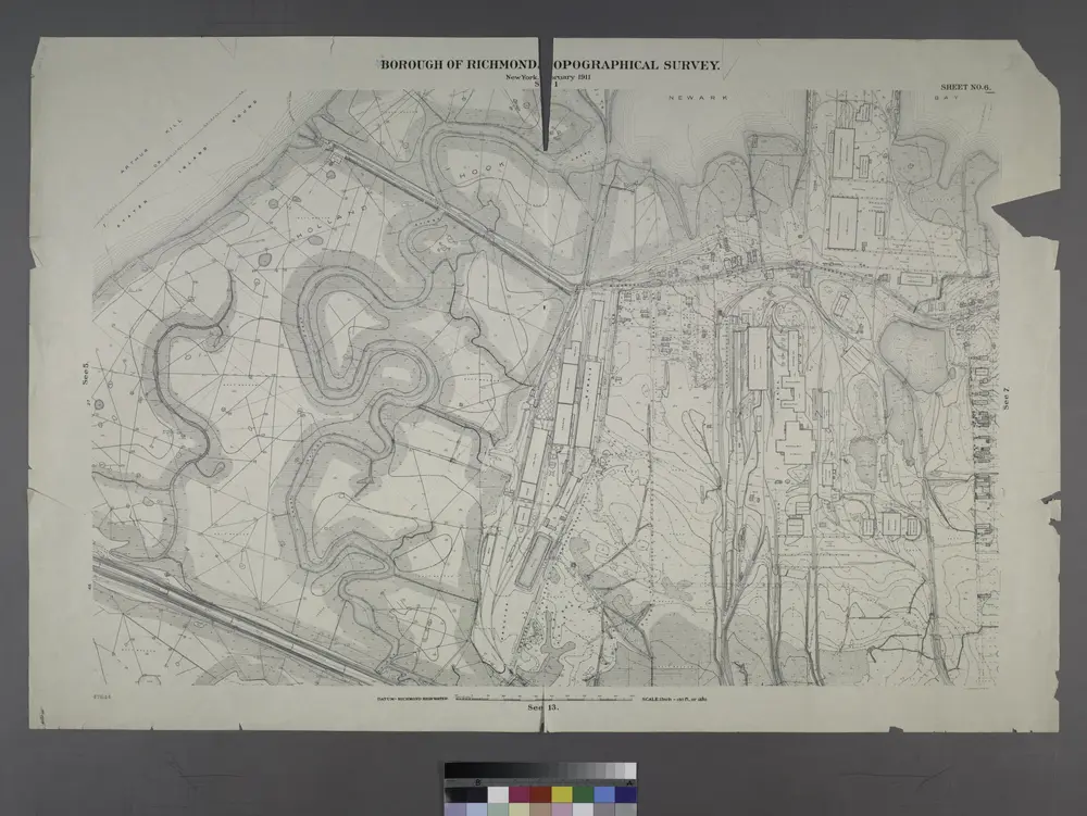
Borough of Richmond, Topographical Survey.
1913
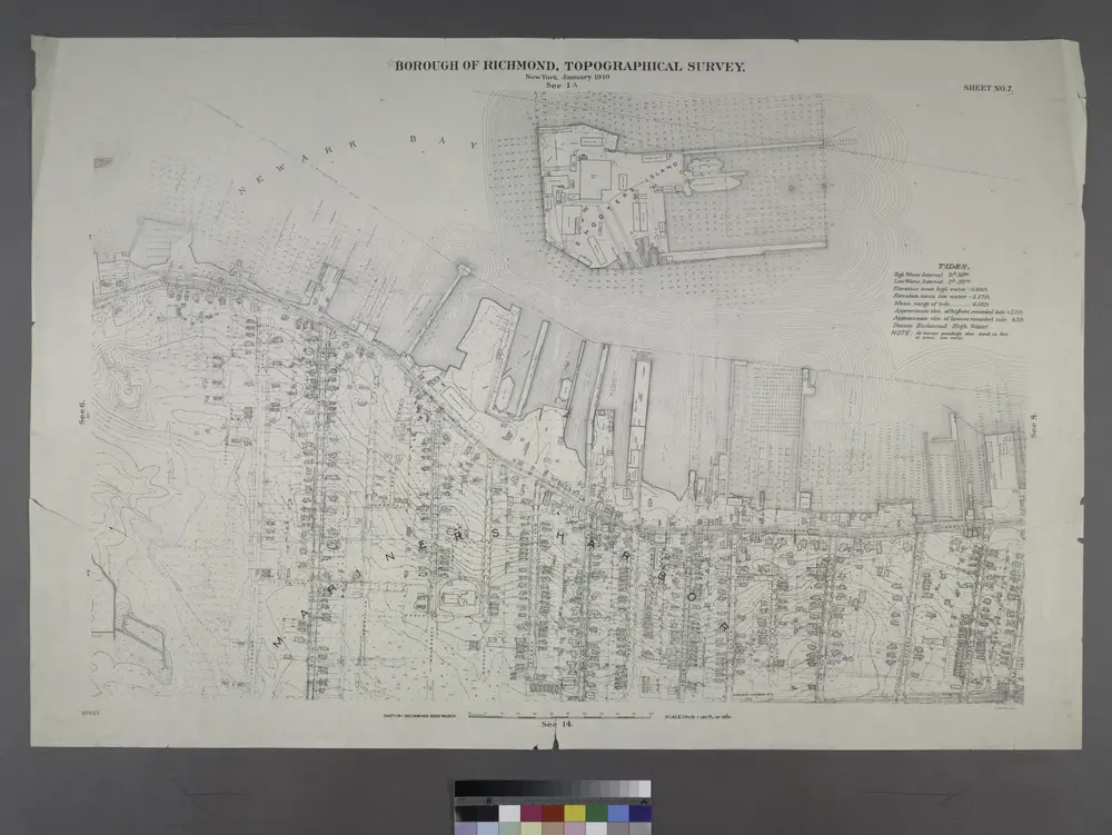
Borough of Richmond, Topographical Survey.
1913
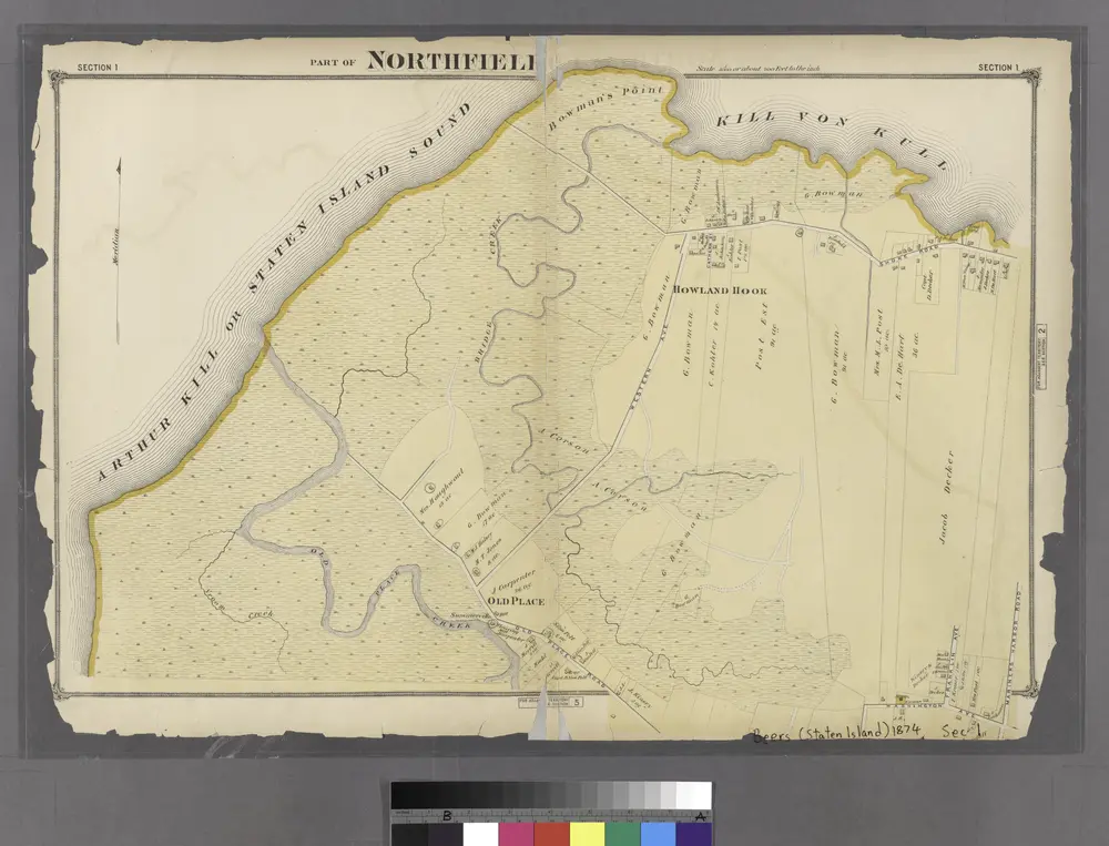
Section 1.
1874
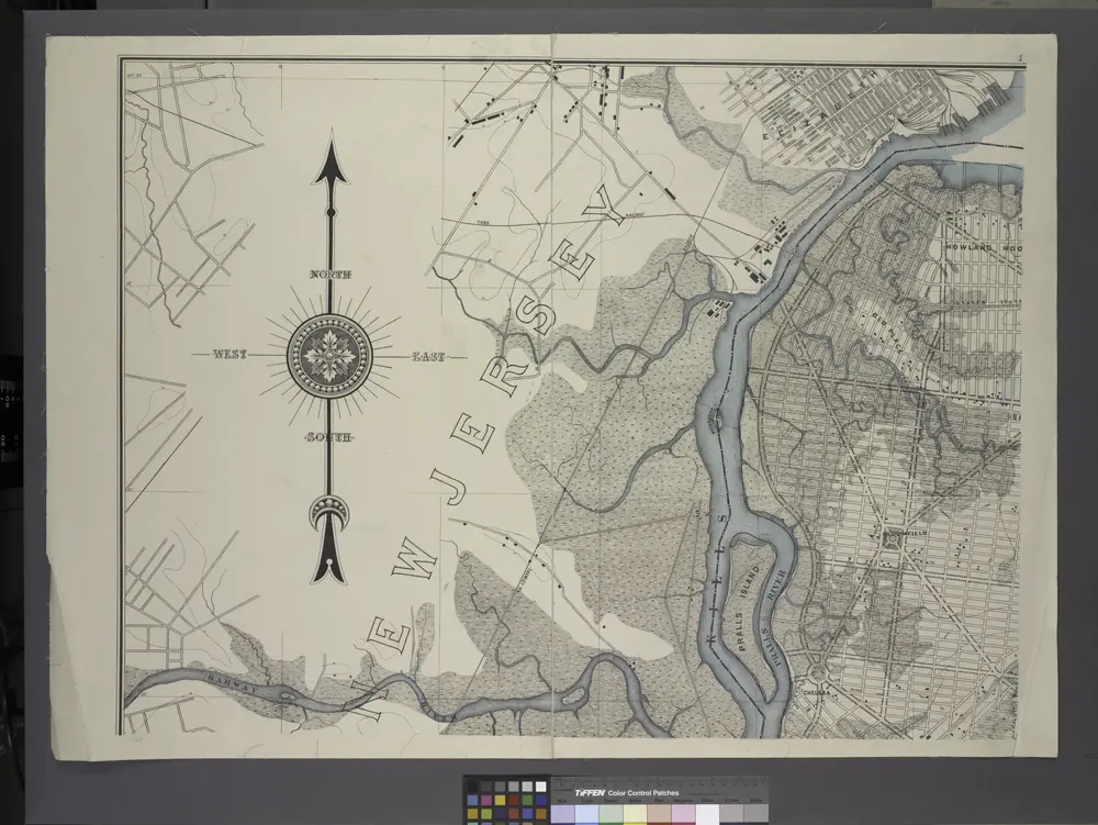
General map of the borough of Richmond (Staten Island) in the city of New York : showing in addition to the existing topographical features of the borough a tentative and preliminary plan for a street system of the same.
1901
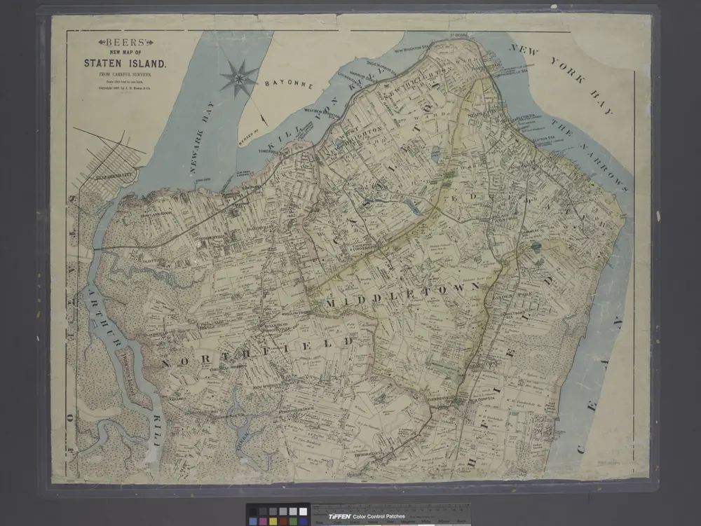
New map of Staten Island
1887

