Katalogisierte Karte
Jasper
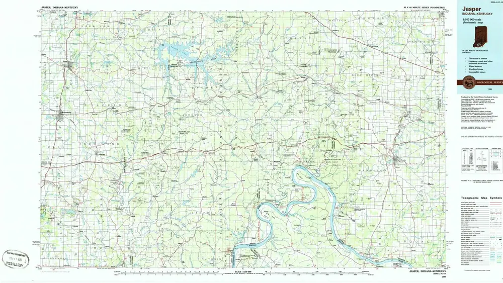

Einrichtung:United States Geological Survey
Vollständiger Titel:Jasper
Jahr der Abbildung:1986
Veröffentlichungsdatum:1986
Maßstab der Karte:1:100 000
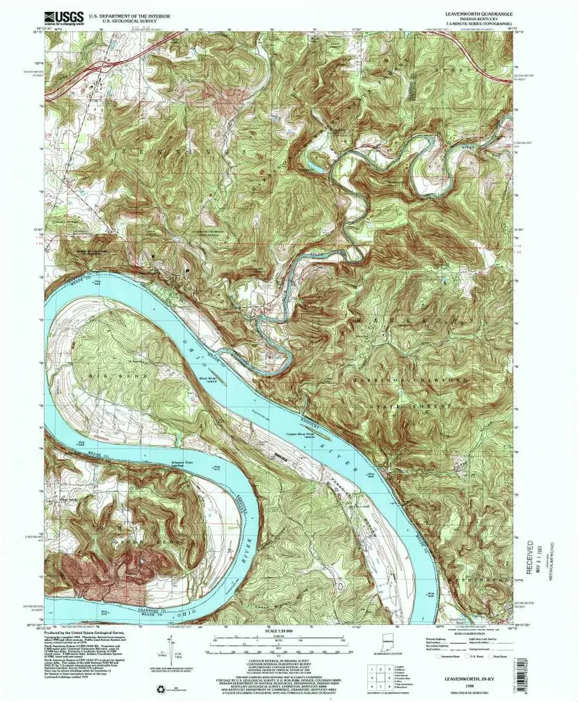
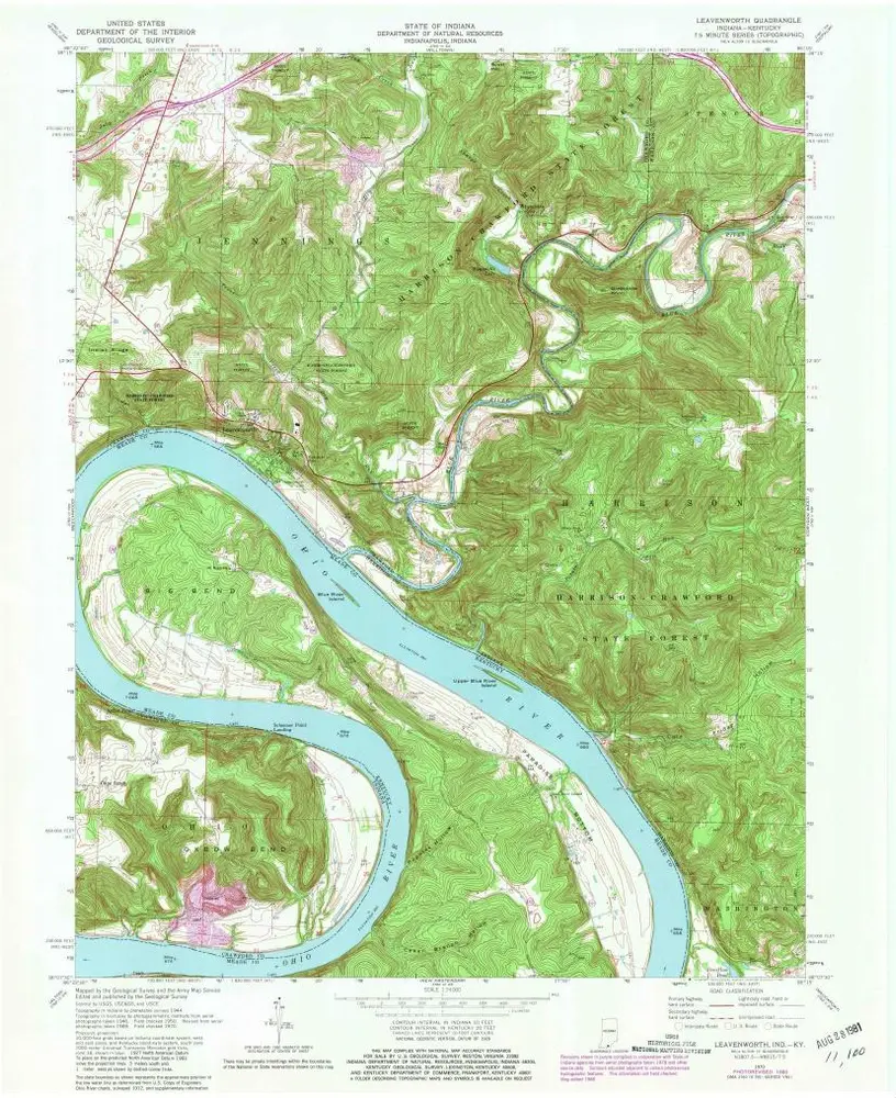
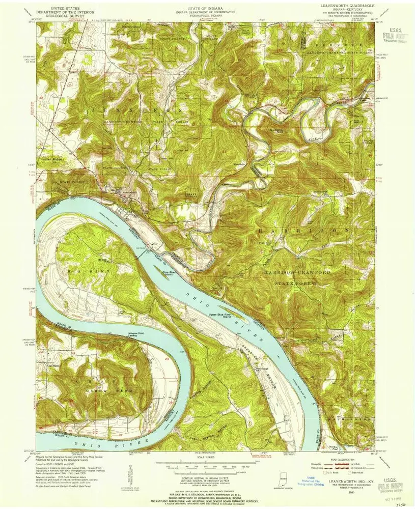
Leavenworth
1998
1:24k
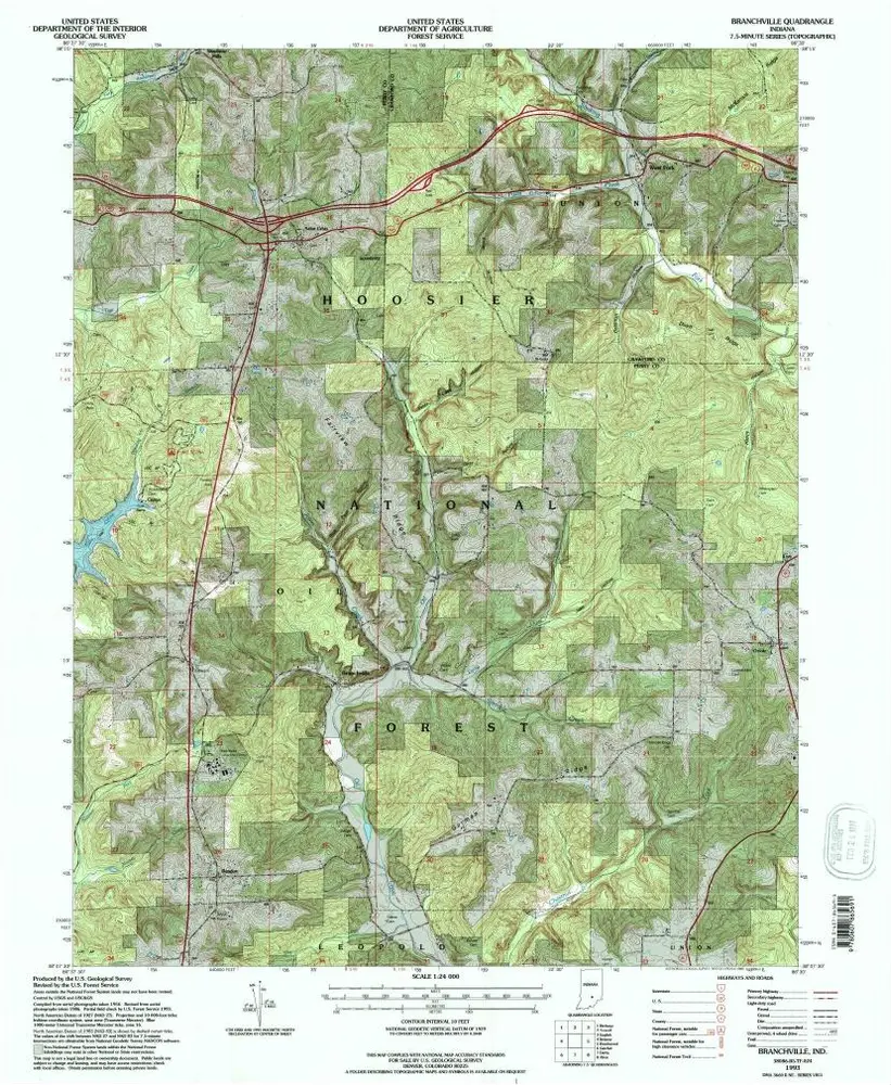
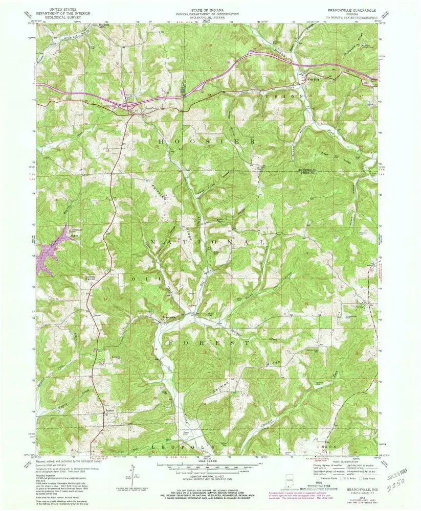
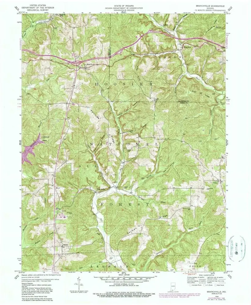
Branchville
1993
1:24k
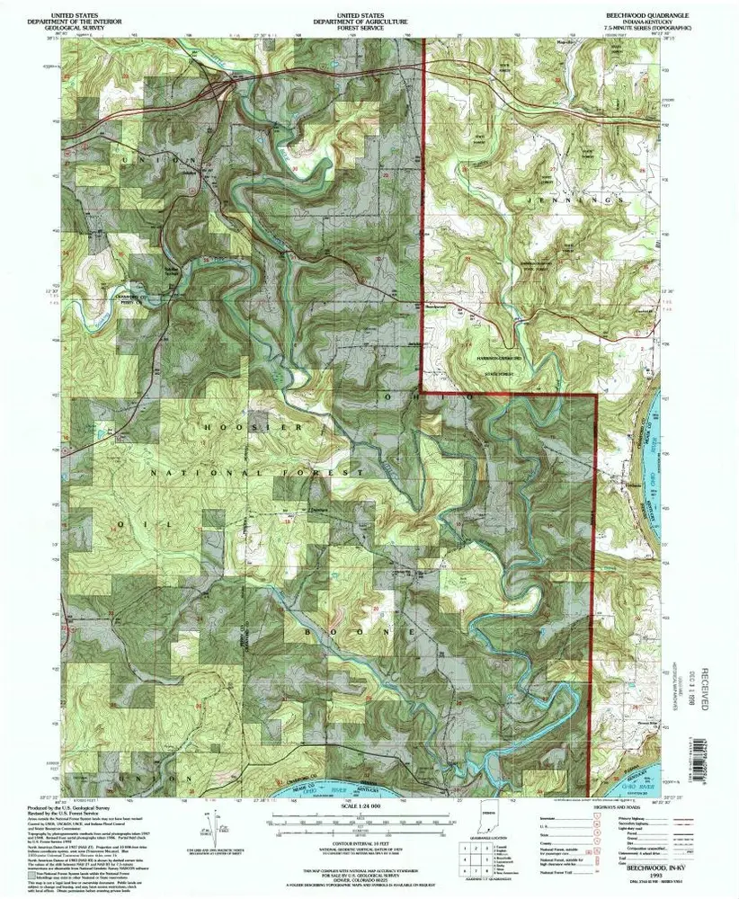
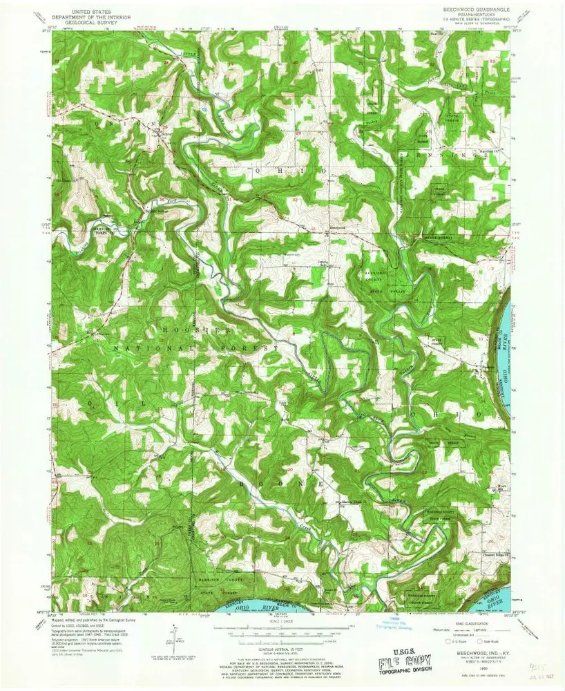
Beechwood
1993
1:24k
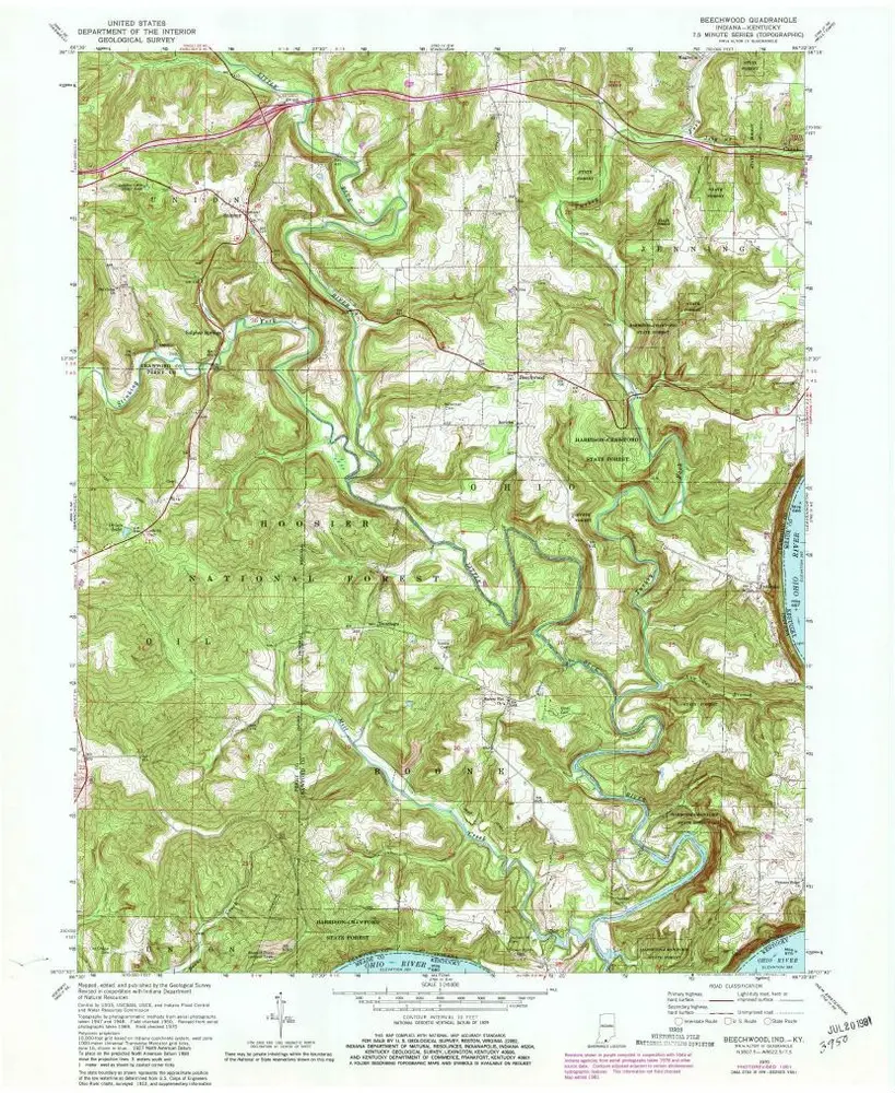
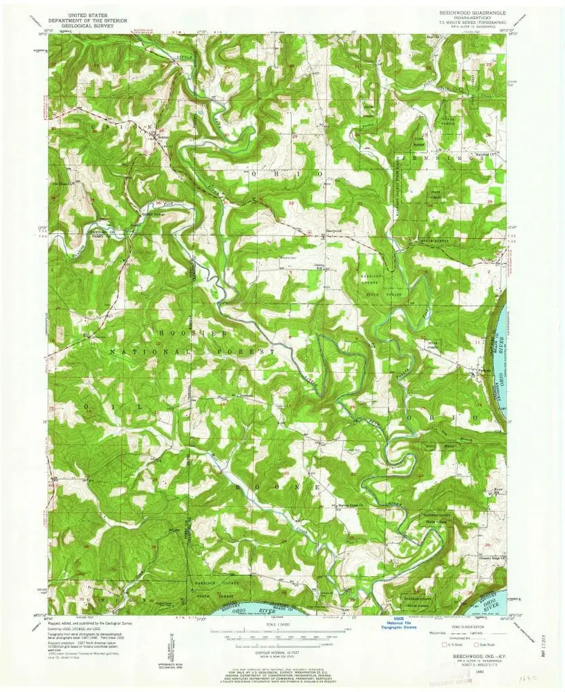
Beechwood
1970
1:24k
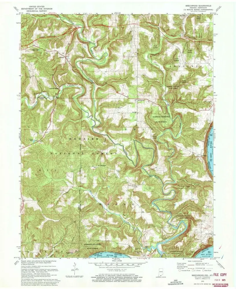
Beechwood
1970
1:24k
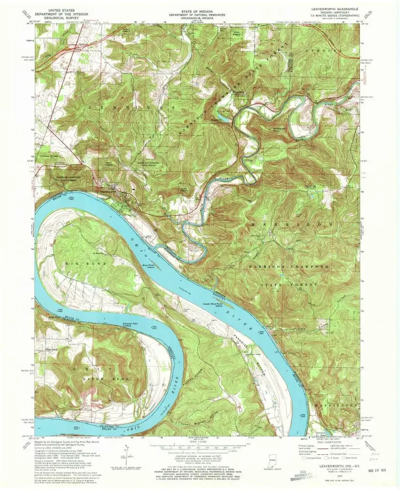
Leavenworth
1970
1:24k
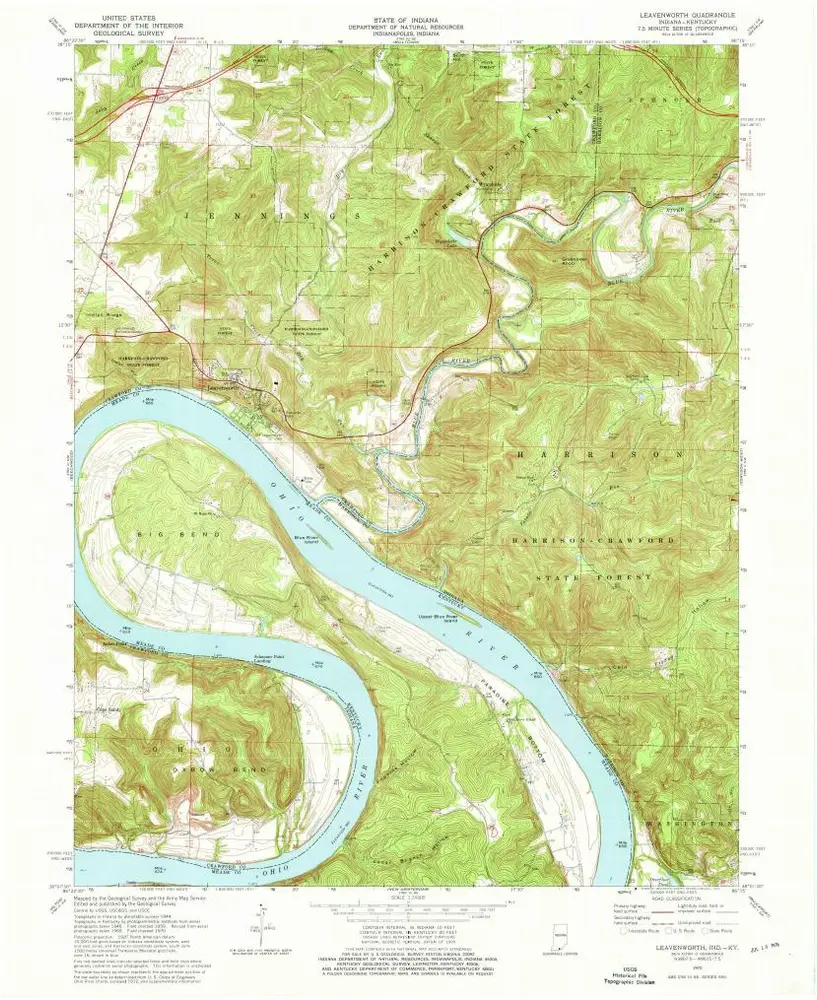
Leavenworth
1970
1:24k
Leavenworth
1970
1:24k
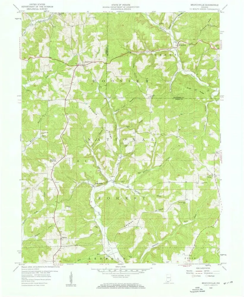
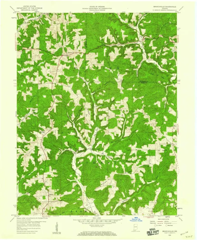
Branchville
1958
1:24k
Branchville
1958
1:24k
Branchville
1958
1:24k
Branchville
1958
1:24k
Beechwood
1950
1:24k
Beechwood
1950
1:24k
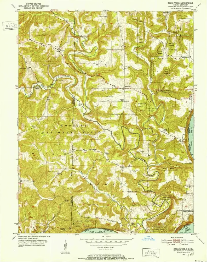
Beechwood
1950
1:24k
Leavenworth
1950
1:24k
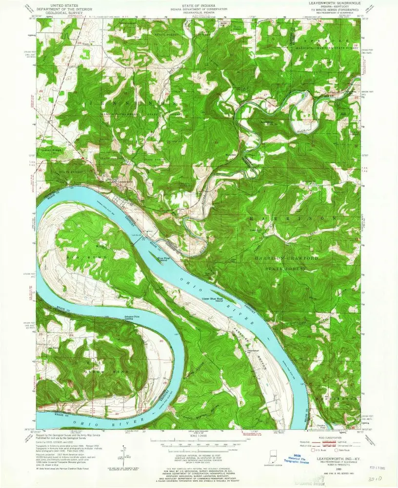
Leavenworth
1950
1:24k
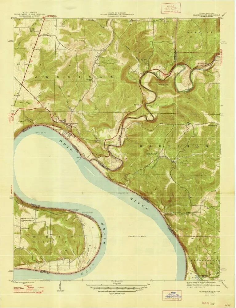
Leavenworth
1947
1:24k
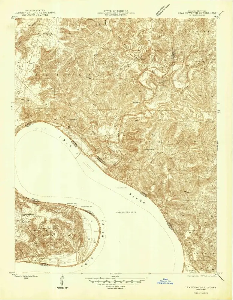
Leavenworth
1946
1:24k