Projekt
Komunita
Novinky
Moje aplikace
Moje mapy
Katalogisierte Karte
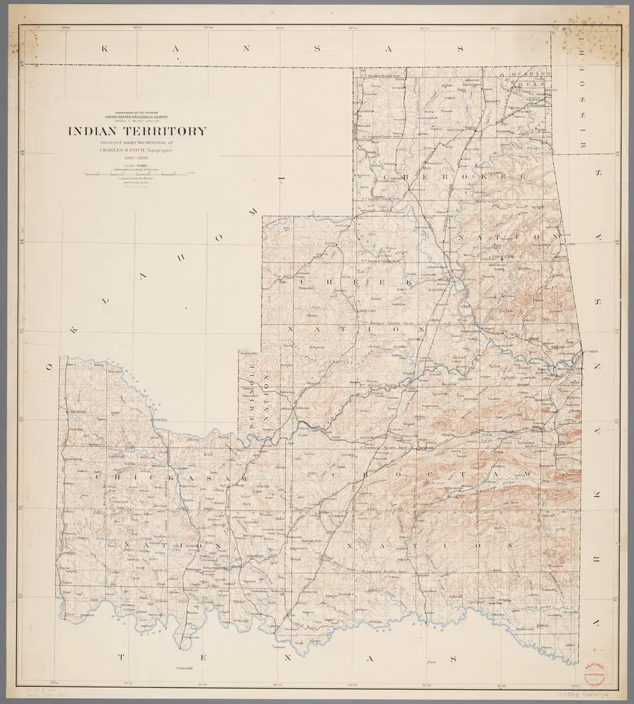
Indian Territory.
Einrichtung:
The David Rumsey Map Collection
Vollständiger Titel:
Indian Territory.
Jahr der Abbildung:
1879
Veröffentlichungsdatum:
1879
Herausgeber:
Julius Bien
Maßstab der Karte:
1:760 320
Indian Territory : [Oklahoma] / surveyed under the dir. of Charles H. Fitch
1902
Fitch, Charles H.
1:500k
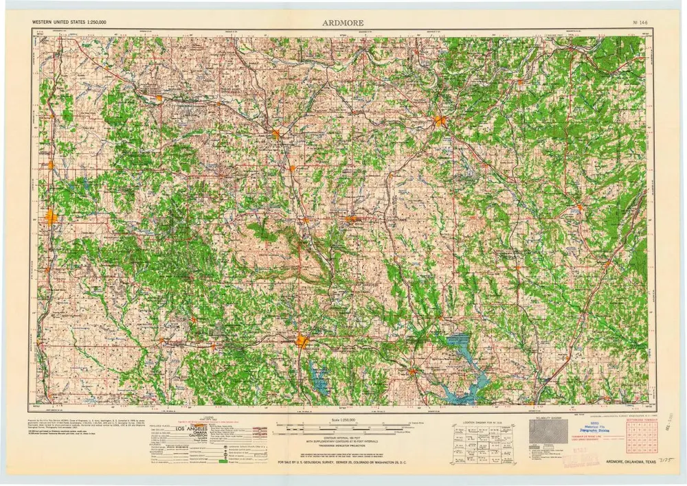
Ardmore
1963
1:250k
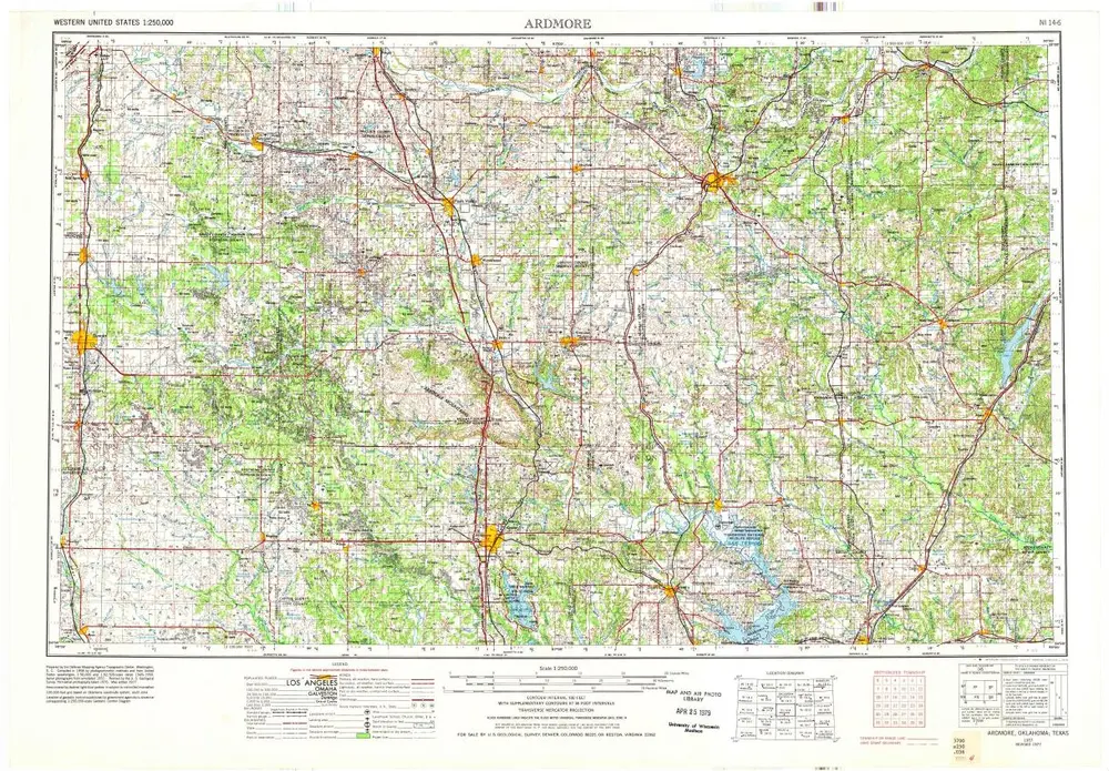
Ardmore
1957
1:250k
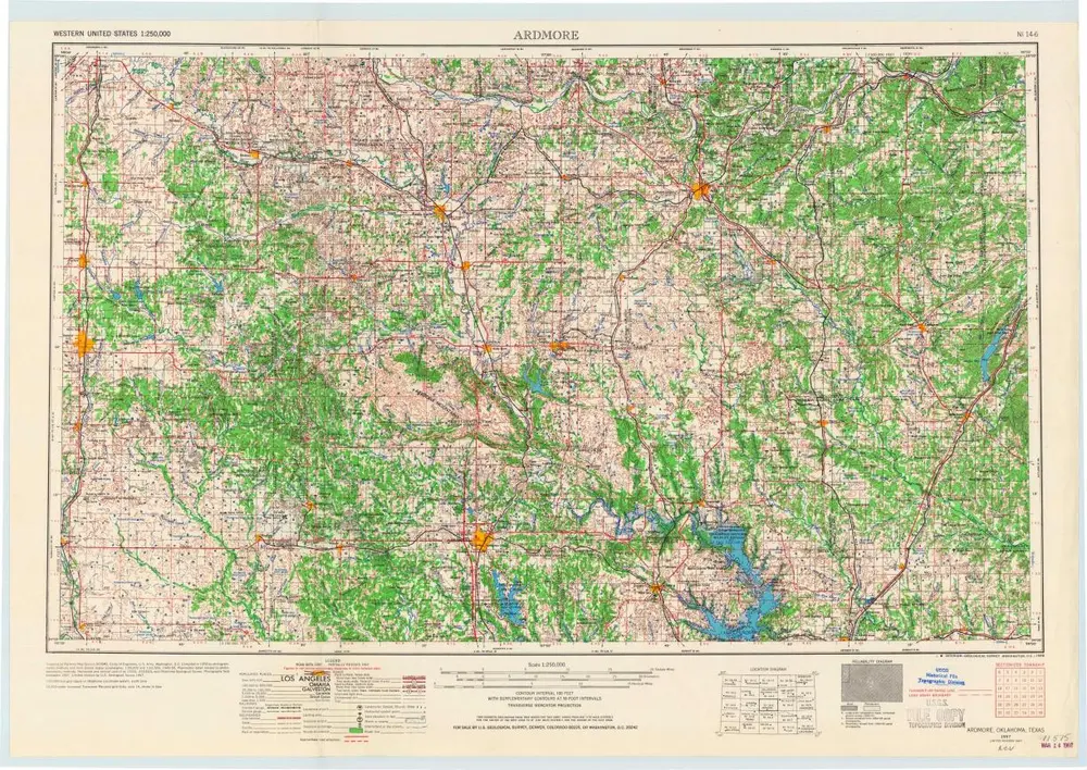
Ardmore
1957
1:250k
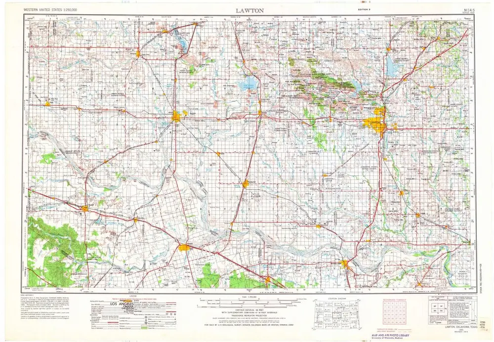
Lawton
1955
1:250k
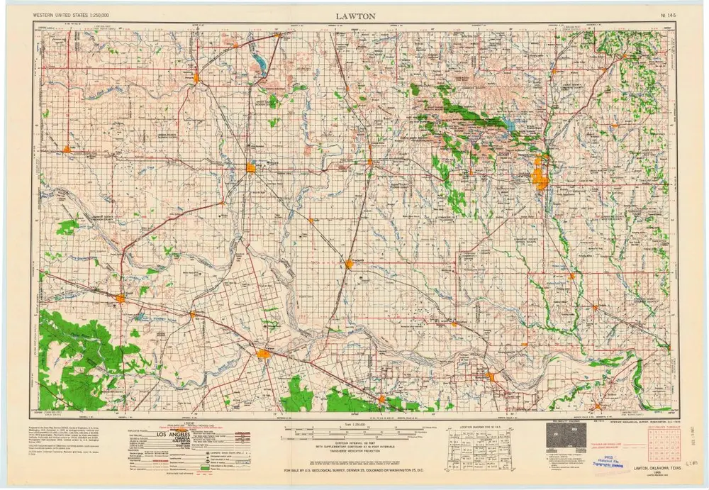
Lawton
1955
1:250k
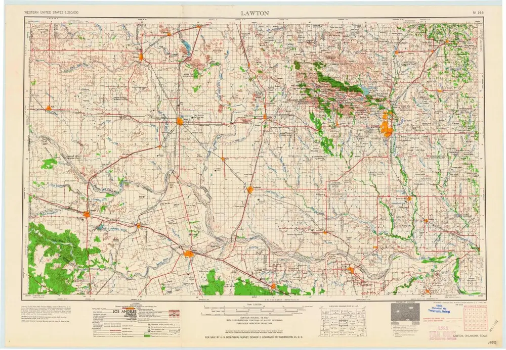
Lawton
1955
1:250k
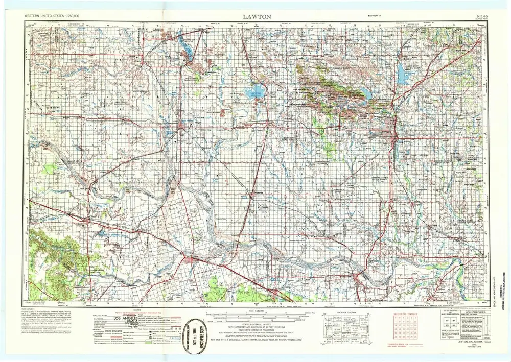
Lawton
1955
1:250k
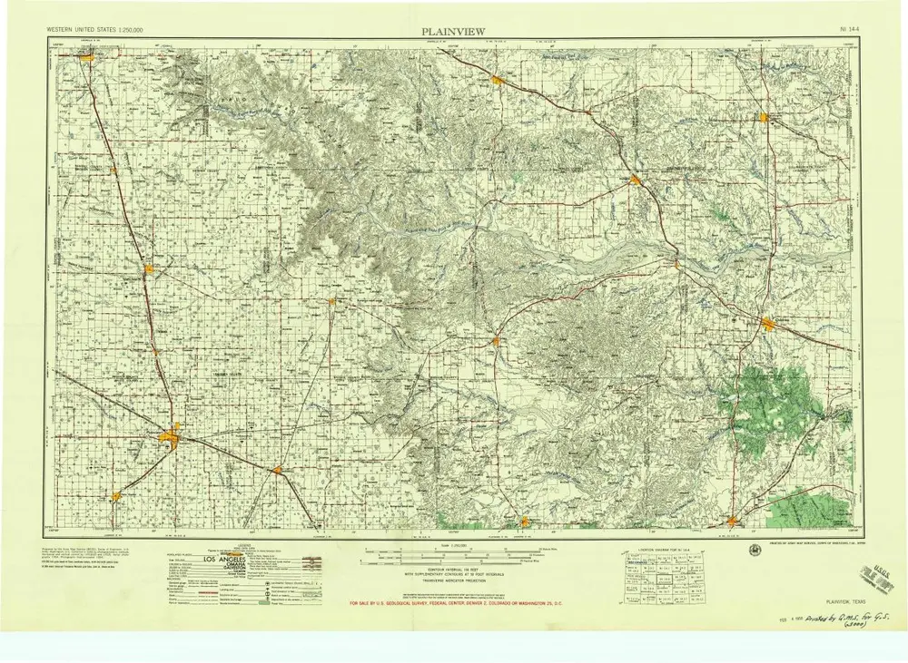
Plainview
1958
1:250k
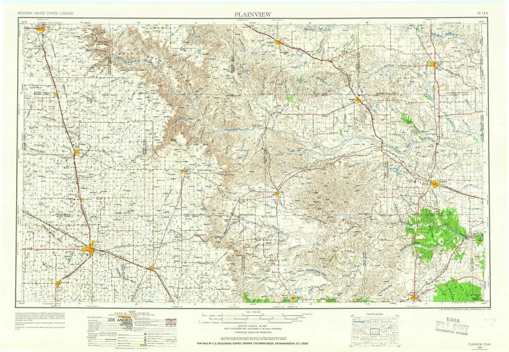
Plainview
1954
1:250k
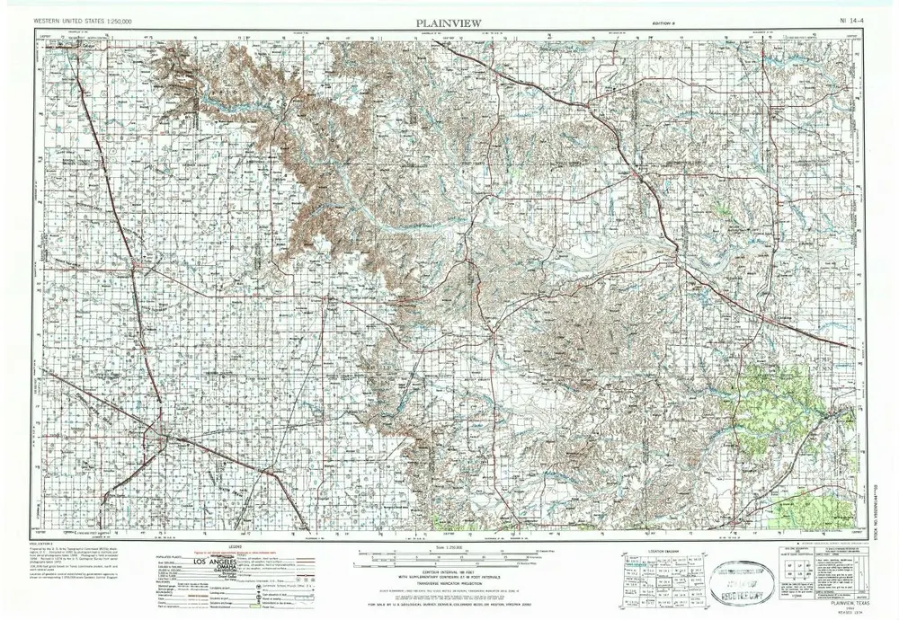
Plainview
1954
1:250k
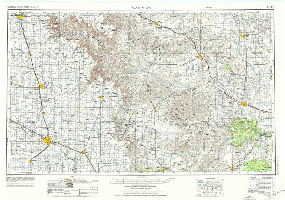
Plainview
1954
1:250k
Geschichte