Projekt
Komunita
Novinky
Moje aplikace
Moje mapy
Gecatalogiseerde kaart
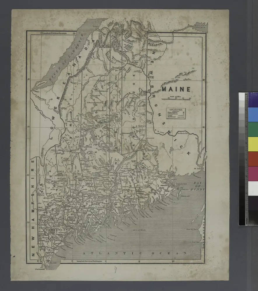
A map of the district of Maine : drawn from the latest surveys and other best authorities
Zobrazit na externích webových stránkách
Volledige titel:
A map of the district of Maine : drawn from the latest surveys and other best authorities
Jaar illustratie:
1795
Pubdatum:
1795
Uitgever:
Thomas & Andrews
Schaal kaart:
1:1 170 000
Katalog
nrs.harvard.edu
Map of the disputed territory [Maine] : reduced from the original of Messrs. Featherstonehaugh & Mudge, British commissioners
1839
Stone, William James
1:2m
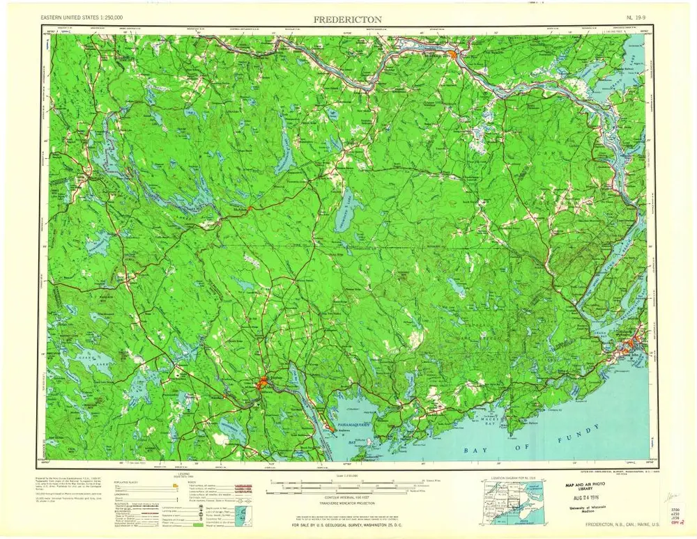
Fredericton
1963
1:250k
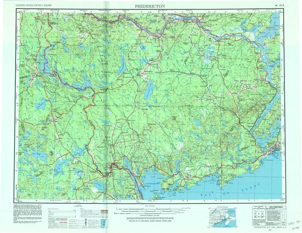
Fredericton
1957
1:250k
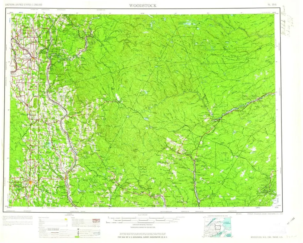
Woodstock
1963
1:250k
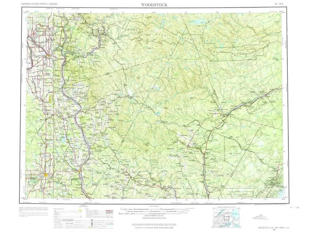
Woodstock
1959
1:250k
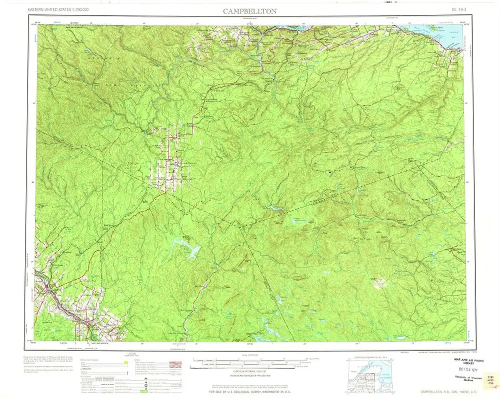
Campbellton
1963
1:250k
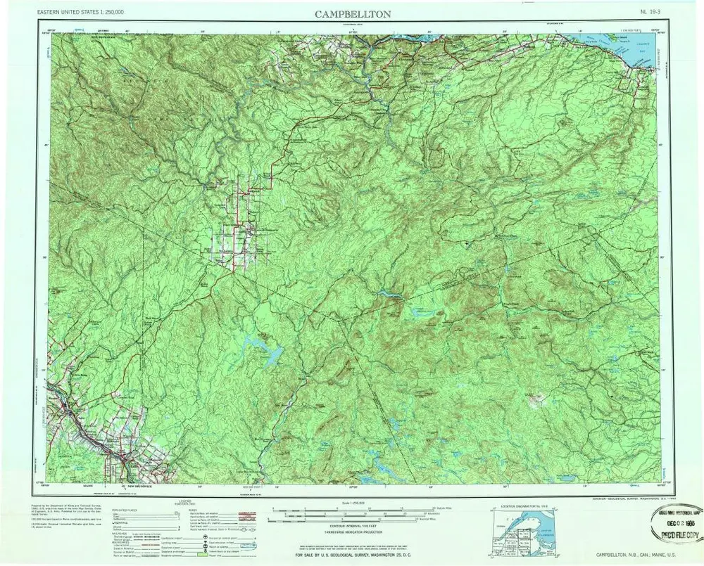
Campbellton
1963
1:250k
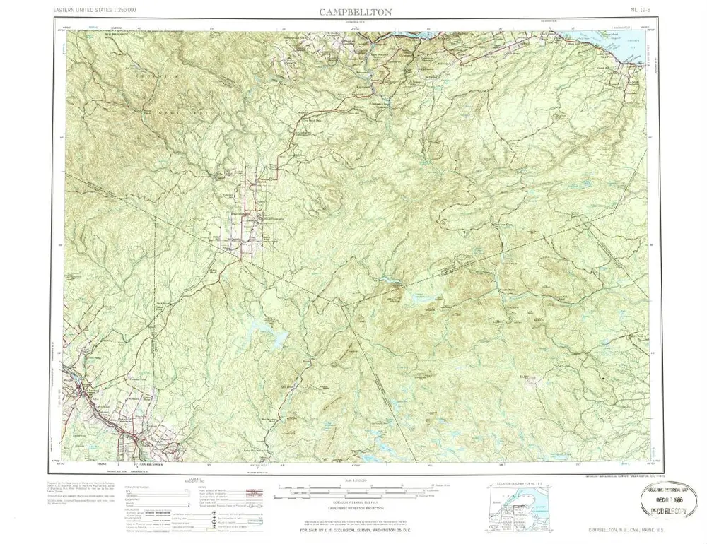
Campbellton
1963
1:250k
Maine.
1842
New Map of Maine
1899
1:2k
Geschiedenis