Carte cataloguée
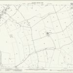
Bedfordshire VIII.2 (includes: Bolnhurst and Keysoe; Eaton Socon; Great Staughton; Little Staughton) - 25 Inch Map

Institution:National Library of Scotland
Titre complet:Bedfordshire VIII.2 (includes: Bolnhurst and Keysoe; Eaton Socon; Great Staughton; Little Staughton) - 25 Inch Map
Année de l'image:1900
Date de publication:1901
Éditeur:Ordnance Survey
Échelle de la carte:1:2 500
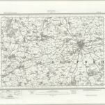
The county of Bedford, 3
1765
s.n.
The county of Bedford, 1
1765
s.n.
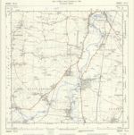
TL05 - OS 1:25,000 Provisional Series Map
1938
Ordnance Survey
1:25k
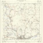
Bedford (Hills) - OS One-Inch Revised New Series
1904
Ordnance Survey
1:63k
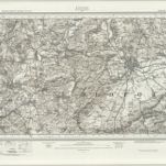
Bedford (Outline) - OS One-Inch Revised New Series
1893
Ordnance Survey
1:63k
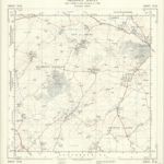
TL15 - OS 1:25,000 Provisional Series Map
1938
Ordnance Survey
1:25k
Bedfordiensis comitatvs; anglis Bedford Shire
1646
Blaeu
The county of Bedford, 2
1765
s.n.
TL06 - OS 1:25,000 Provisional Series Map
1950
Ordnance Survey
1:25k
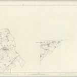
Buckinghamshire VI (inset XI) - OS Six-Inch Map
1881
Ordnance Survey
1:11k