Skatalogowana mapa
37 ward 24.
Instytucja:The David Rumsey Map Collection
Pełny tytuł:37 ward 24.
Rok ilustracji:1893
Data publikacji:1893
Wydawca:G.W. Bromley and Co.
Skala mapy:1:2 400
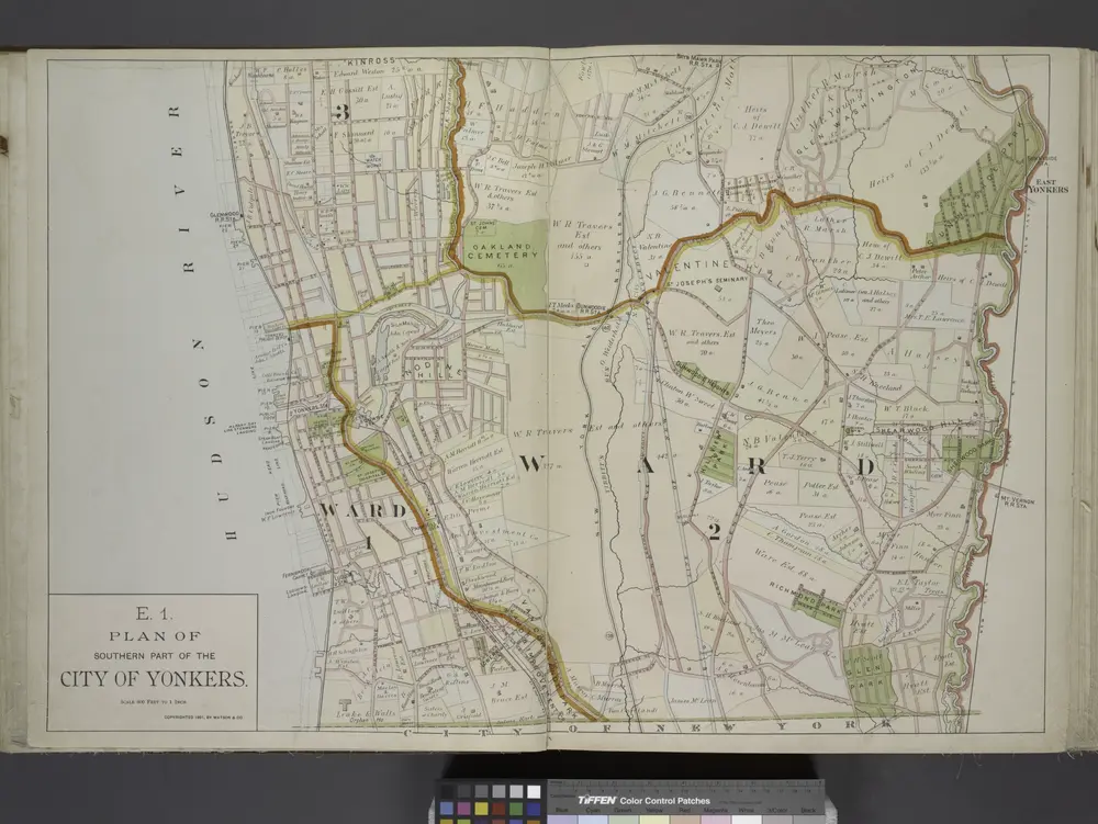
Plan of Southern part of the City of Yonkers.
1891
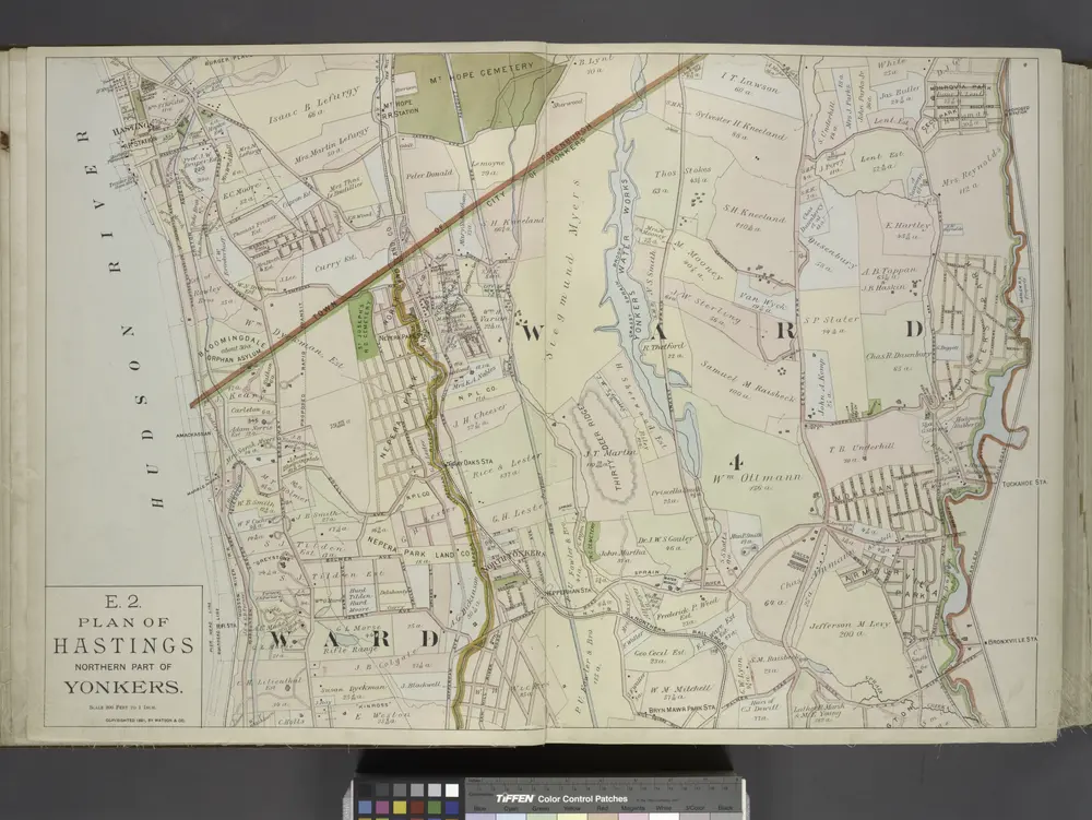
Plan of Hastings Northern part of Yonkers.
1891
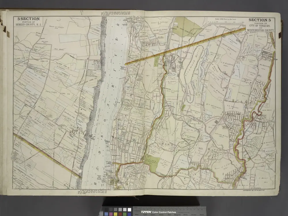
Portion of Bergen County, N.J.; Portion of City of Yonkers. And Westchester County
1891
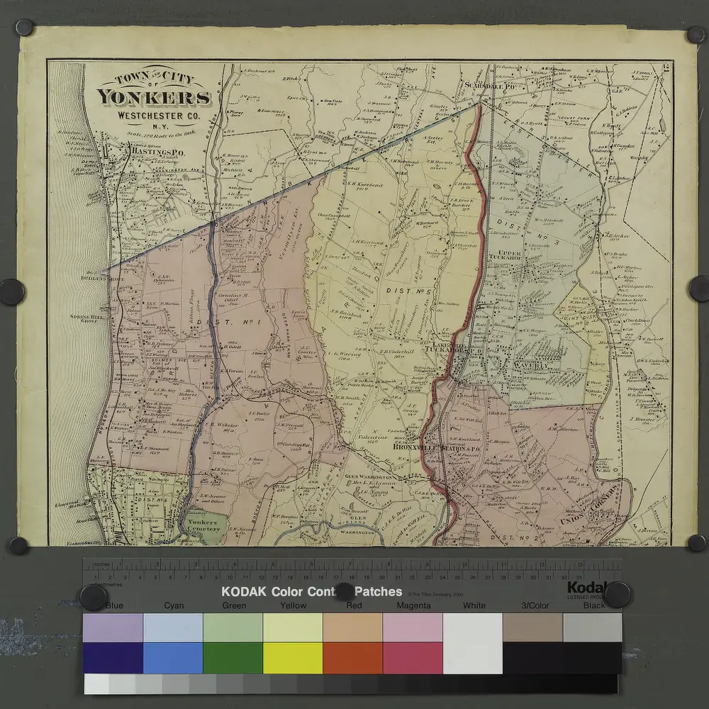
Plates 21 & 22: Town and City of Yonkers, Westchester Co. N.Y. - Town of East Chester, Westchester Co. N.Y.
1872
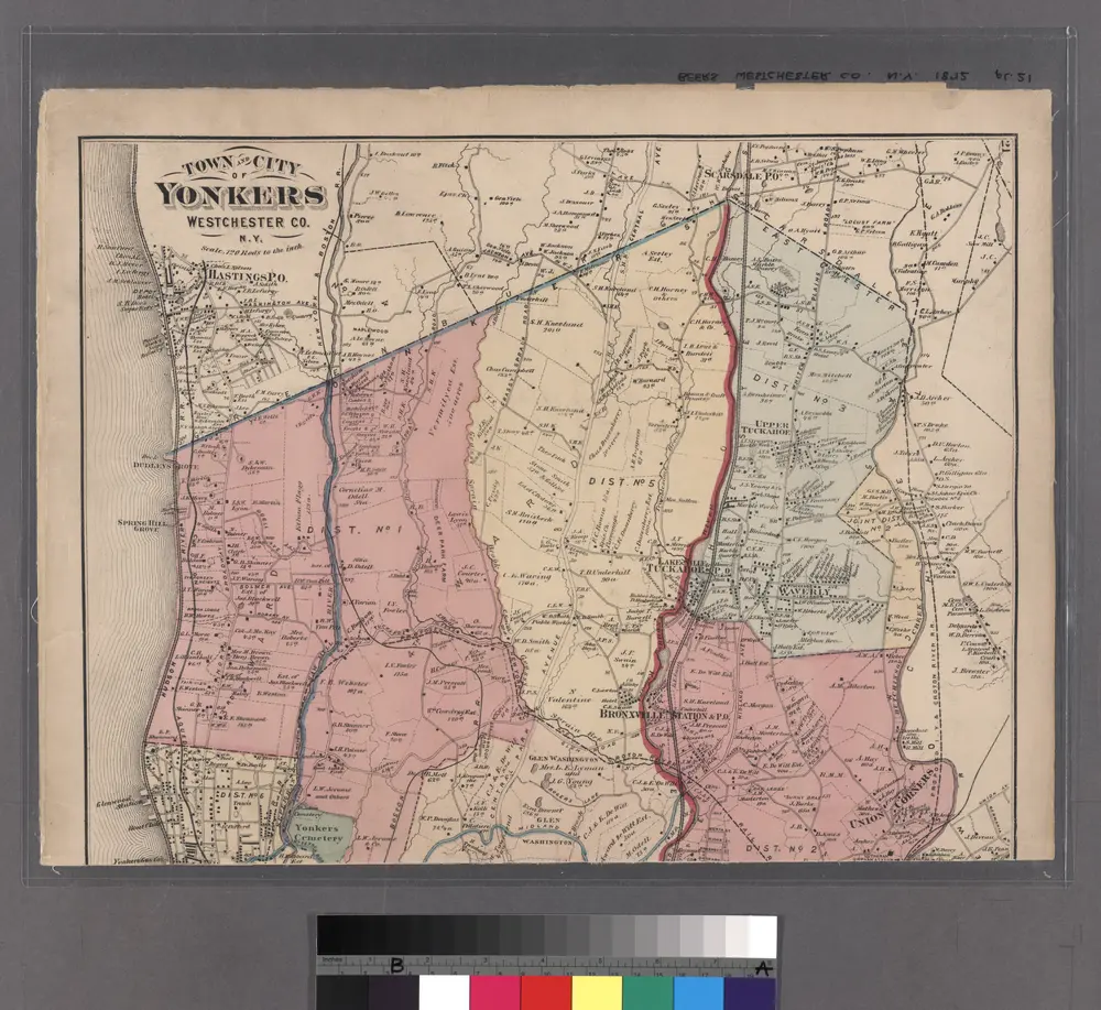
Plates 21 & 22: Town and City of Yonkers, Westchester Co. N.Y. - Town of East Chester, Westchester Co. N.Y.
1872
Large folder - L1
1868

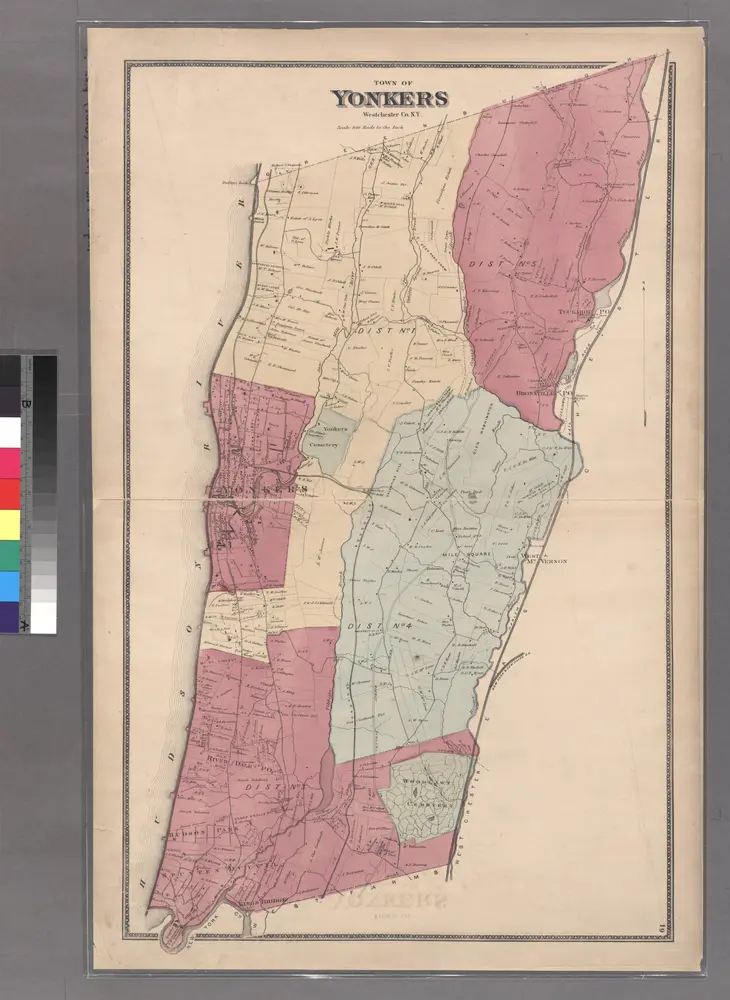
Plate 24: Northern part of Town of Yonkers, adjacent to the River.
1868
Large folder - L1
1868
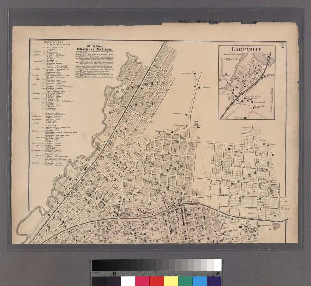
Lakeville - Washingtonville - East Chester.
1872
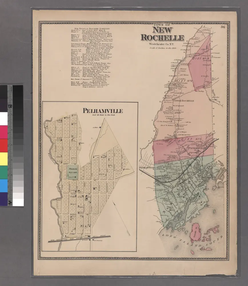
Plate 36: Town of New Rochelle, Westchester Co. N.Y.
1868