Projekt
Komunita
Novinky
Moje aplikace
Moje mapy
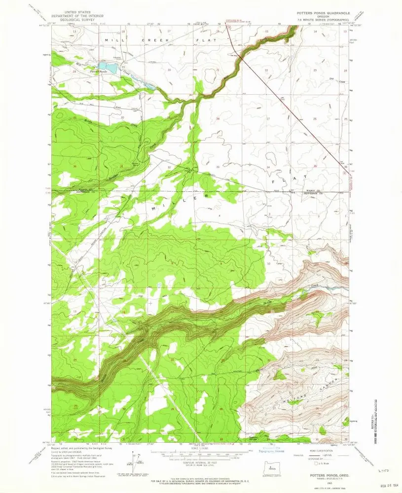
Carte cataloguée
Potters Ponds
Zobrazit na externích webových stránkách
Institution:
United States Geological Survey
Titre complet:
Potters Ponds
Année de l'image:
1963
Date de publication:
1964
Échelle de la carte:
1:24 000
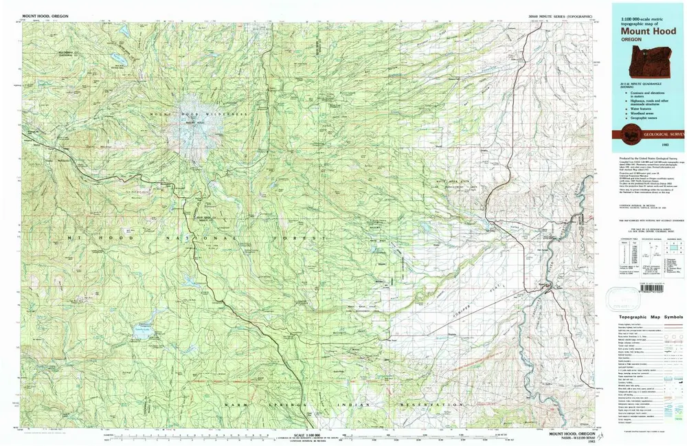
Mount Hood
1983
1:100k
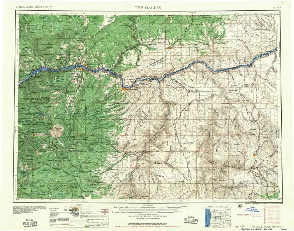
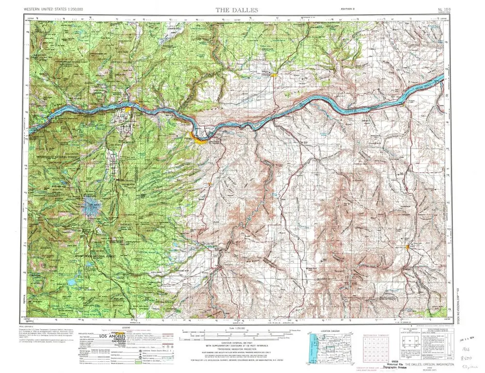
The Dalles
1957
1:250k
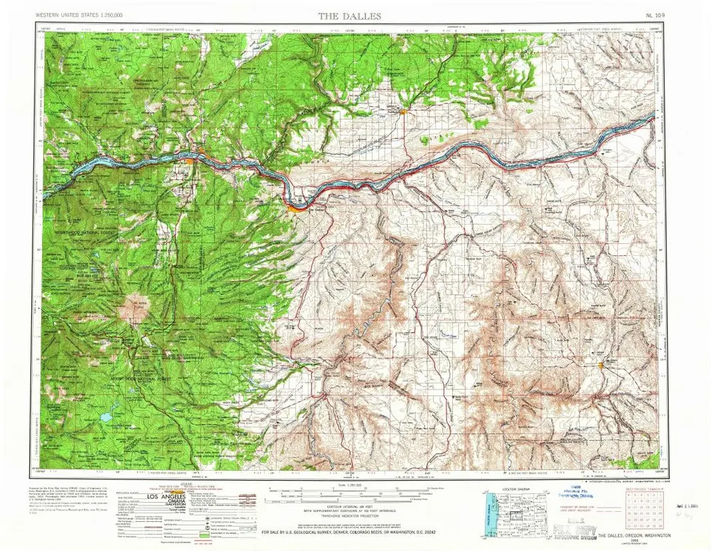
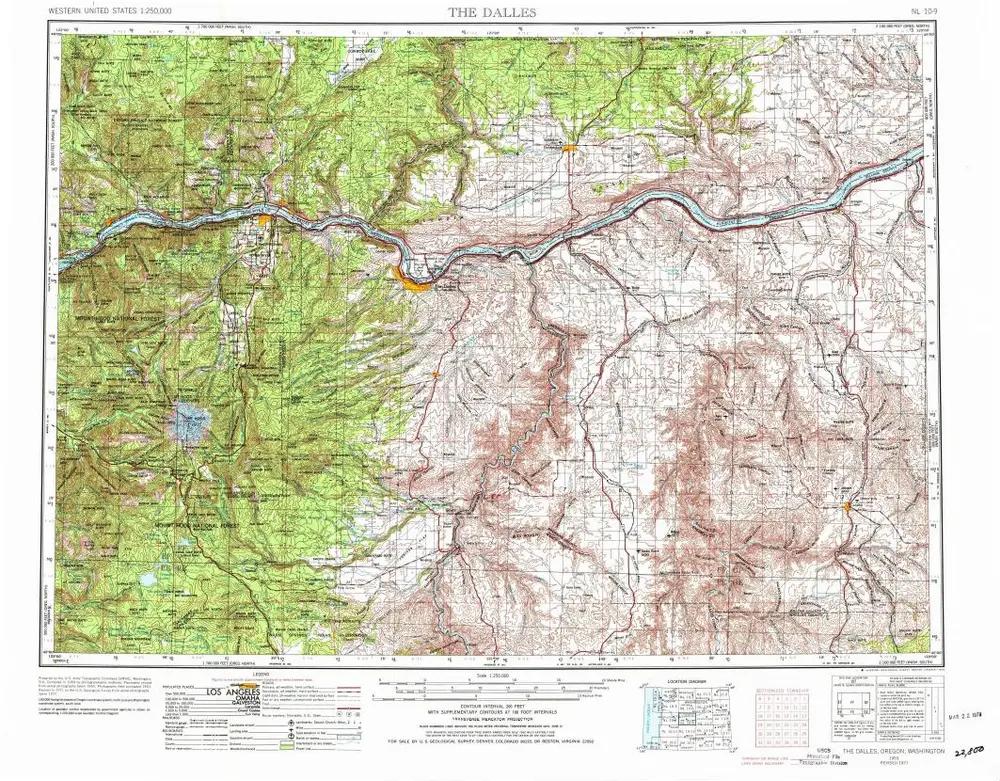
The Dalles
1953
1:250k
The Dalles
1953
1:250k
The Dalles
1953
1:250k
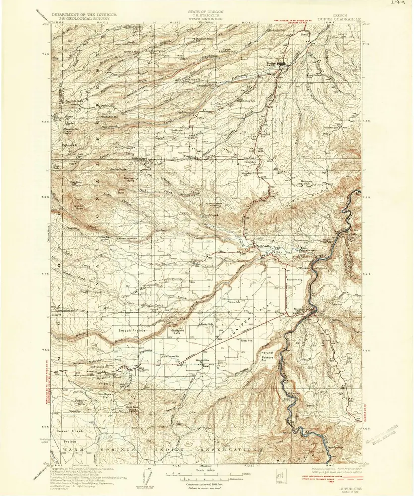
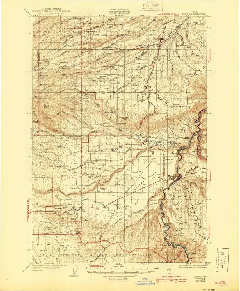
Dufur
1934
1:125k
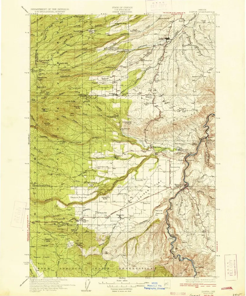
Dufur
1934
1:125k
Dufur
1930
1:125k
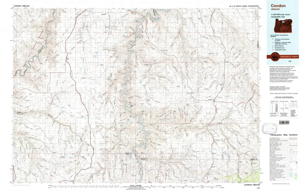
Condon
1981
1:100k
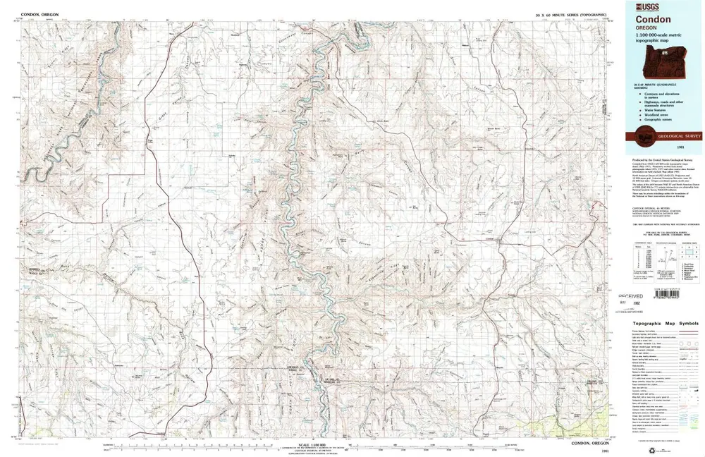
Condon
1981
1:100k
L'histoire