Skatalogowana mapa
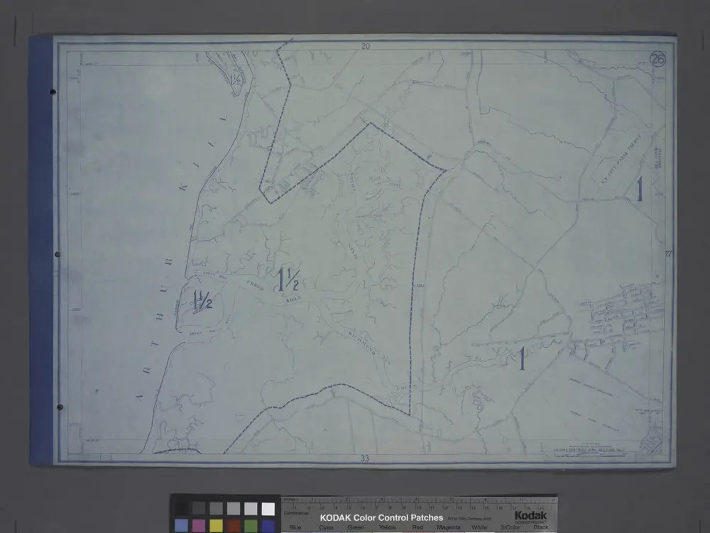
Height District Map Section No. 26; Height district map / City of New York, Board of Estimate and Apportionment.

Instytucja:community
Pełny tytuł:Height District Map Section No. 26; Height district map / City of New York, Board of Estimate and Apportionment.
Rok ilustracji:1916