1852
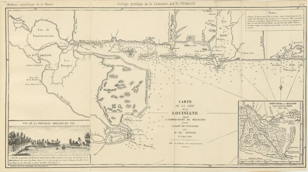
Unknown
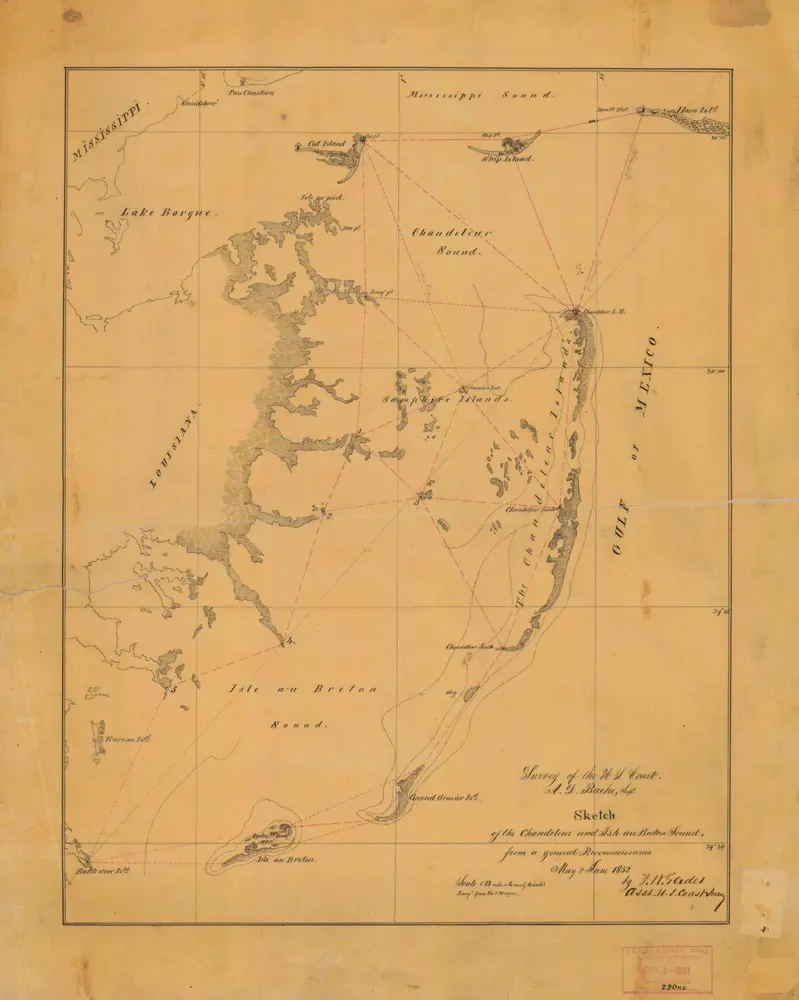
1:128k
1862
L. Prang & Co.
1870
PESCHEL, Oscar Ferdinand.
1861
1857
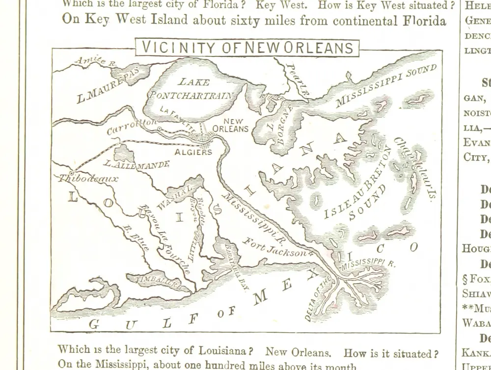
CORNELL, Sarah S.
1885
GAYARRÉ, Charles.
1926
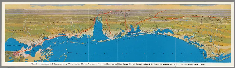
Louisville & Nashville R.R.
1879
CULLUM, George Washington.
1895
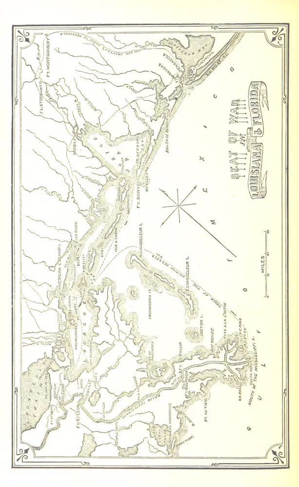
United States. War Department
1:634k
1898
MARINELLI, Giovanni Professor of Geography at Padua