

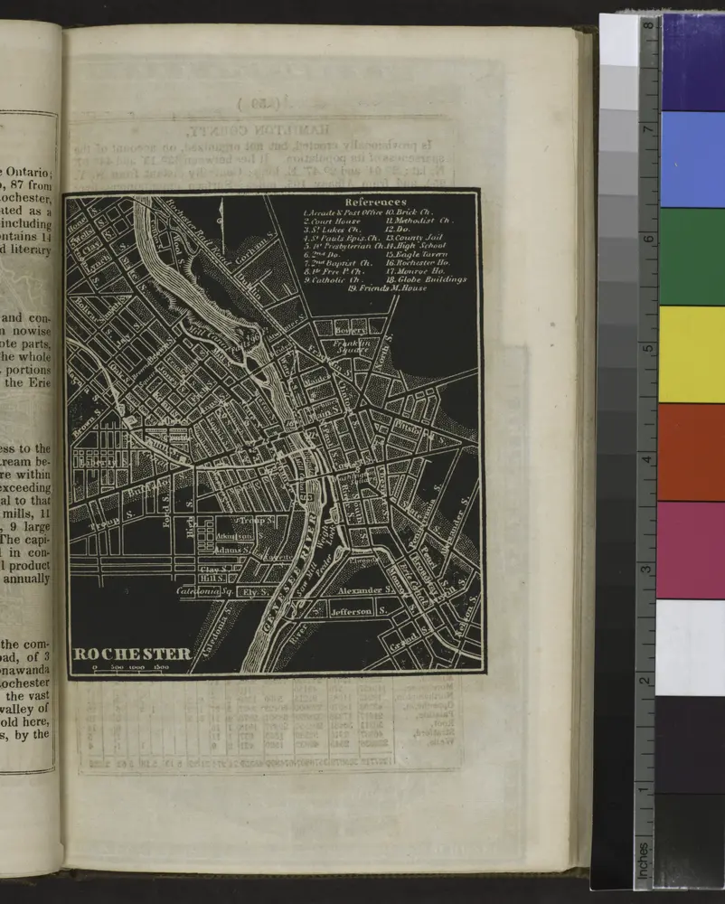
Rochester City.
1838
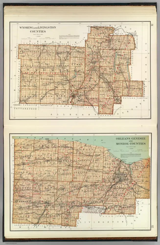
Wyoming, Livingston, Orleans, Genesee, Monroe counties.
1895
Bien, Joseph Rudolf
1:158k
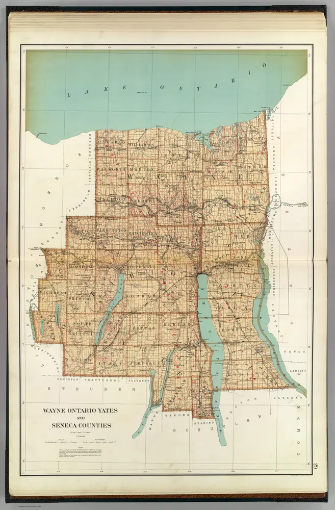
Wayne, Ontario, Yates, Seneca counties.
1895
Bien, Joseph Rudolf
1:158k
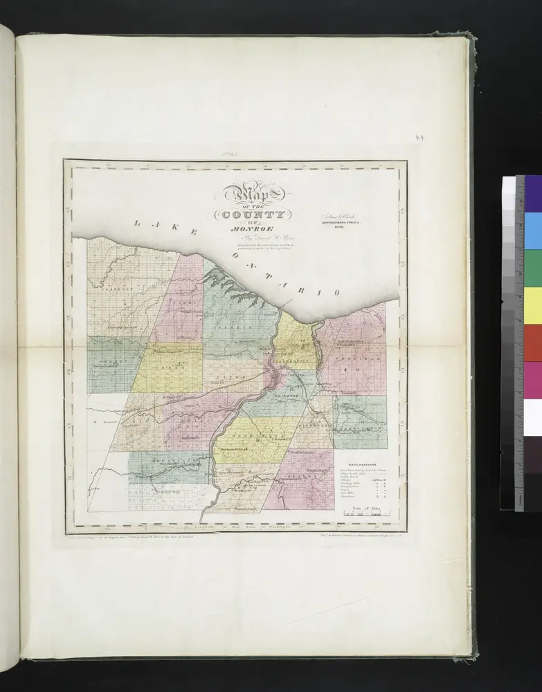
Map of the county of Monroe / by David H. Burr ; engd. by Rawdon, Clark & Co., Albany, & Rawdon, Wright & Co., N.Y.
1829
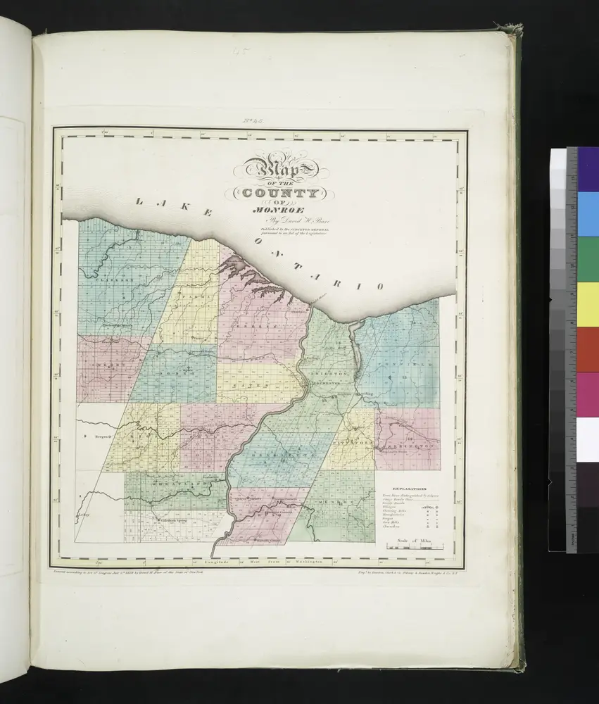
Map of the county of Monroe / by David H. Burr; engd. by Rawdon, Clark & Co., Albany, & Rawdon, Wright & Co., New York.; An atlas of the state of New York: containing a map of the state and of the several counties. / Projected and drawn under the superintendence and direction of Simeon de Witt ... And also the physical geography of the State ...
1829
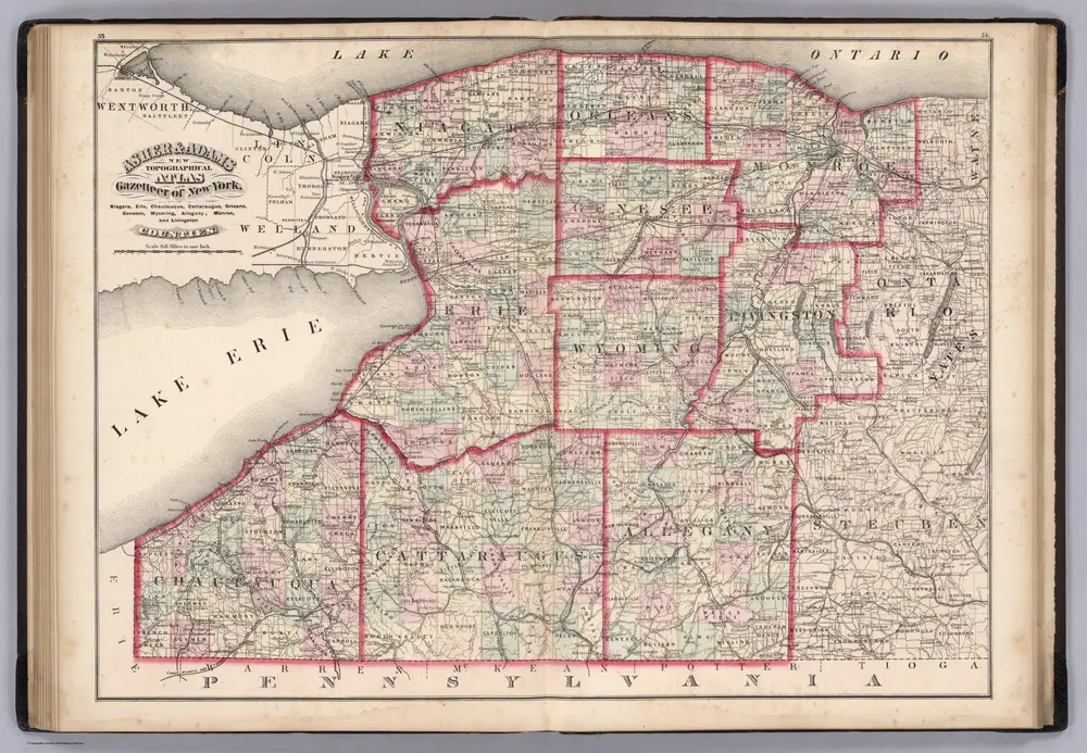
Niagara, Erie, Chautaugua, Cattaraugus, Orleans, Genesee, Wyoming, Allegheny, Monroe, and Livingston Counties, New York.
1870
Asher & Adams
1:400k
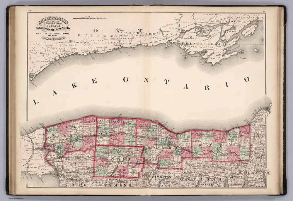
Niagara, Orleans, Genese, Monroe, and Wayne Counties, New York.
1870
Asher & Adams
1:400k
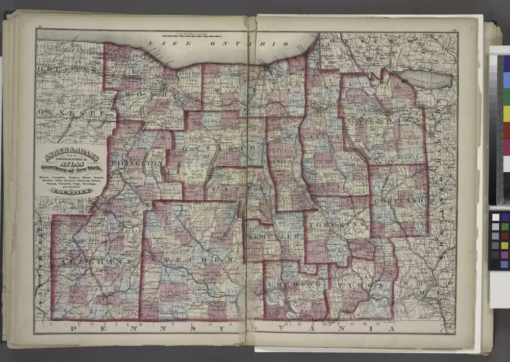
"Monroe, Livingston, Allegany, Wayne, Ontario, Steuben, Yates, Schuyler, Chemung, Seneca, Cayuga, Tompkins, Tioga, Onondaga, and Cortland Counties "
1871
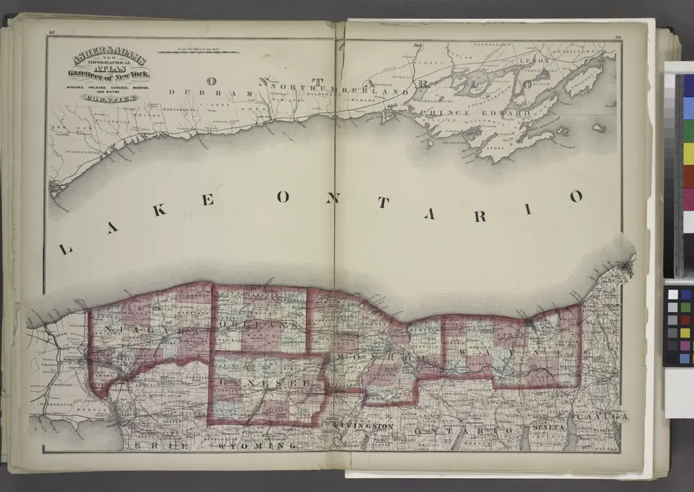
"Niagara, Orleans, Genesee, Monroe, and Wayne counties"
1871

"Niagara, Erie, Chautauqua, Cattaraugus, Orleans, Genesee, Wyoming, Allegany, Monroe, and Livingston Counties"
1871

