خرائط الويب
Douglas Pass
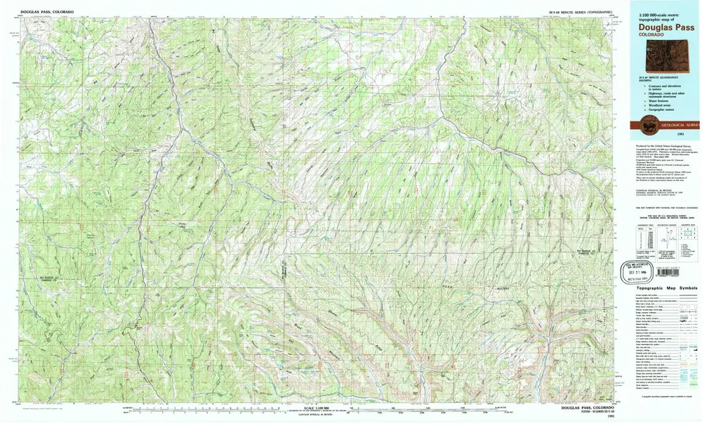

المؤسسة:United States Geological Survey
العنوان الكامل:Douglas Pass
مصورة:1981
تاريخ النشر:1982
مقياس الخريطة:1:100 000
خرائط
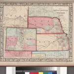 Map of Kansas, Nebraska, and Colorado. Showing also the eastern portion of Idaho.1860n
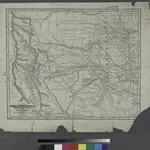 Map of the Indian Territory, Northern Texas and New Mexico.1842n
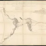 Map of an exploring expedition to the Rocky Mountains in the year 1842 and to Oregon & north California in the years 1843-441845|Frémont, John Charles1:2 000 000c
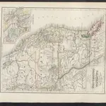 A new Map of the State of California, the Territoties of Oregon & Utah1860|Meyer, J.e
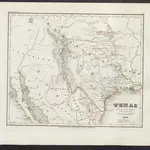 Texas1860|Meyer, J.e
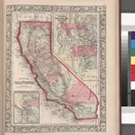 County map California; Map of the settlements in the Great Salt Lake country, Utah [inset] ; San Francisco Bay and vicinity [inset].1860n
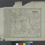 Oregon.1842n
1600
1650
1700
1750
1800
1850
1900
1950
2000