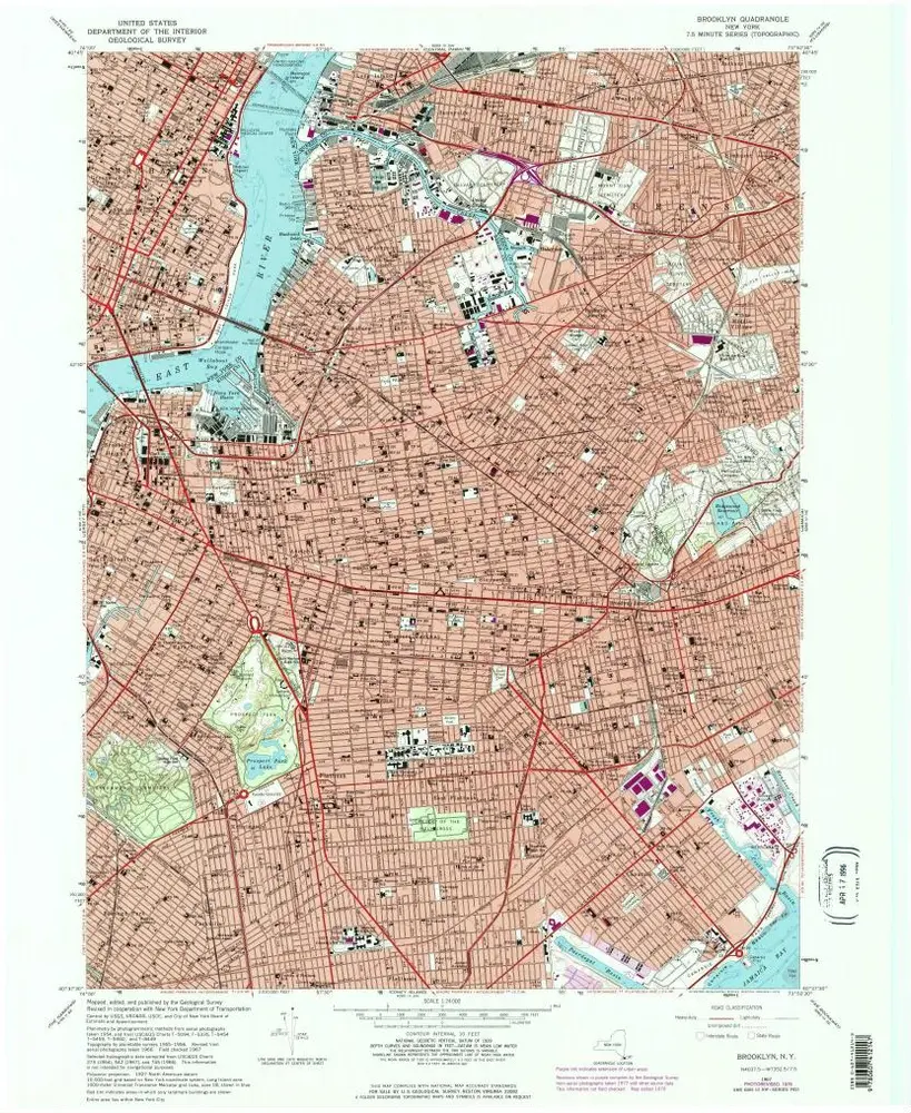
Gecatalogiseerde kaart
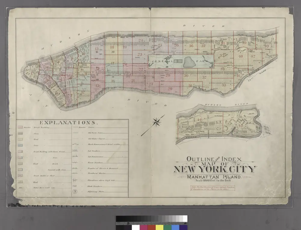
Outline and Index Map of Atlas of New York City : Manhattan Island.
1897
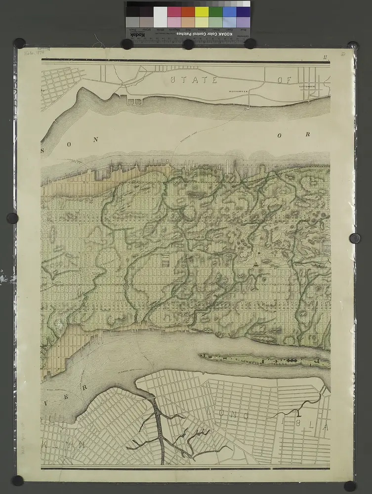
Topographical atlas of the city of New York, including the annexed territory showing original water courses and made land. / prepared under the direction of Egbert L. Viele.
1874
Map of the city of New York : with street directory showing house-numbers, hotels, churches, banks, theatres, ferries, house-car, steam and elevated R.R'ds, &c
1883
Dripps, M. (Matthew)
1:13k
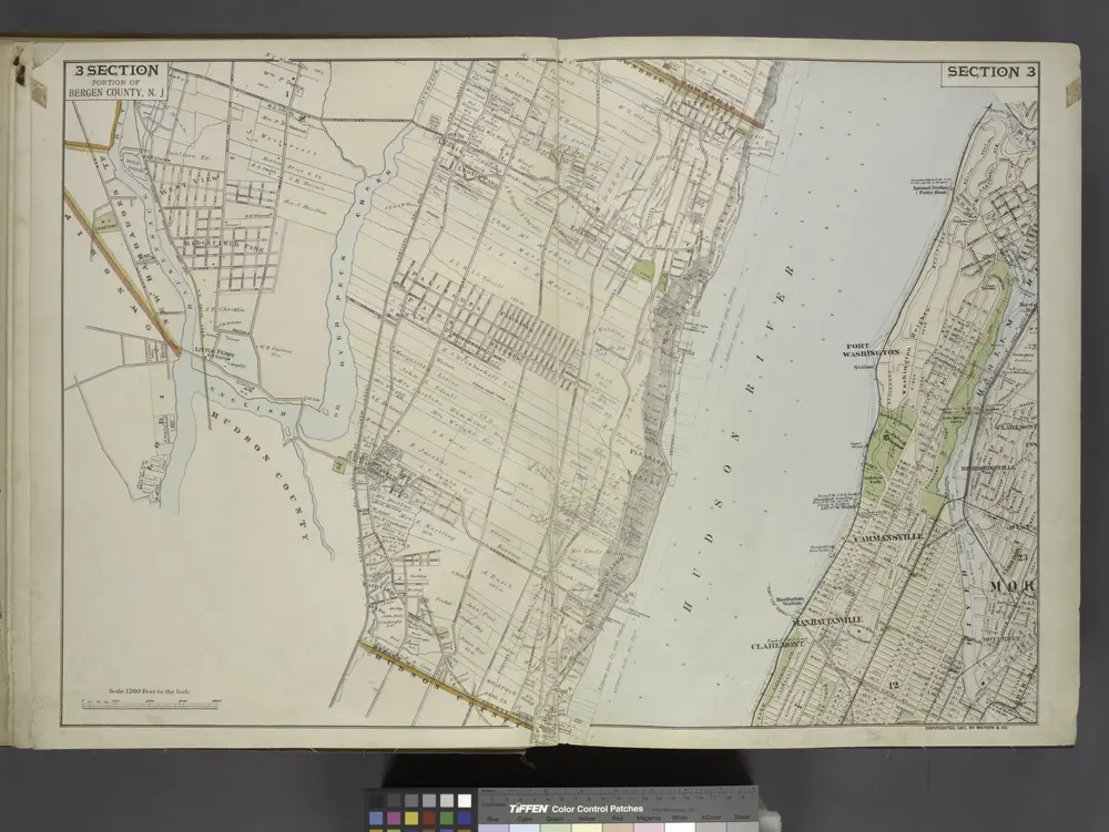
Portion of Bergen County, N.J.
1891
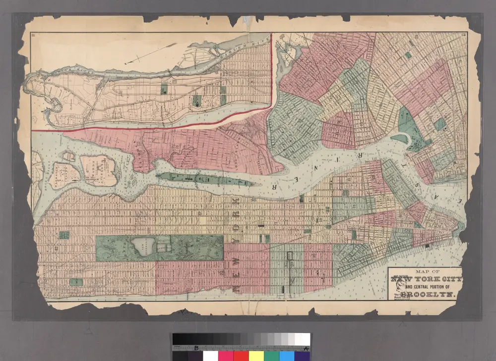
Plates 11 & 12: Map of New York City and central portion of Brooklyn.
1872
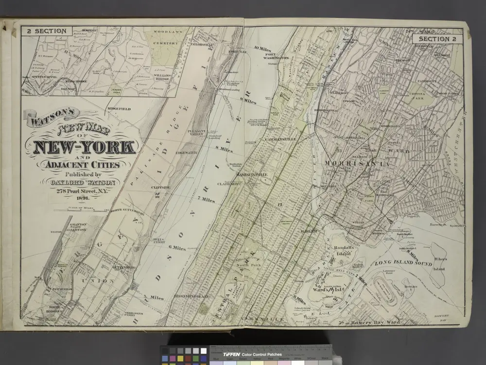
Map of New York and Adjacent Cities
1891
Map of New York City, south of 46th St. : showing new arrangement of docks, piers, and water frontage, also soundings and former high water line
1877
Dripps, M. (Matthew)
1:7k
Plan of New York
1899
1:2k
Colton's city & county map of New-York
1867
G.W. & C.B. Colton & Co
1:20k
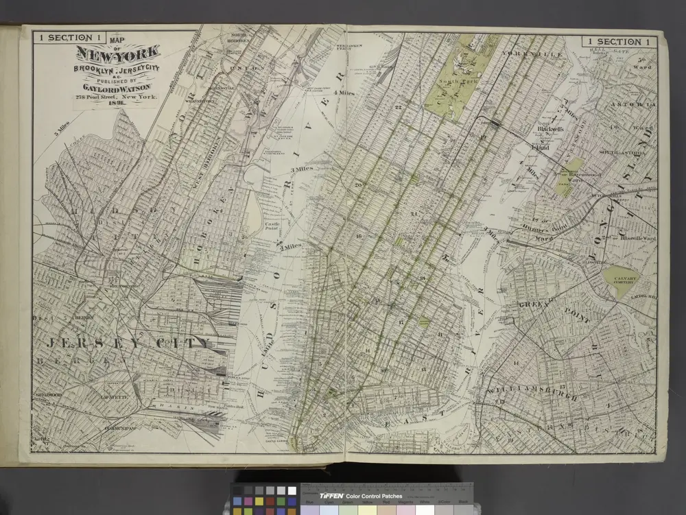
Map of New York, Brooklyn, Jersey City& c.
1891


