خرائط الويب
خرائط
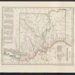 Neueste Karte von Missouri1860|Meyer, J.
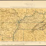 Map of the south western part of the United States1864|Virtue, Yorston & Co.1:5 300 000
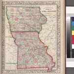 County map of the States of Iowa and Missouri.1860
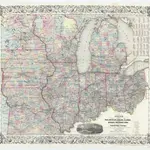 Guide through Ohio, Michigan, Indiana, Illinois, Missouri, Wisconsin & Iowa : showing the township lines of the United States Surveys, location of cities, towns, villages, post hamlets, canals, rail and stage roads / by J. Calvin Smith ; engr. by S. Stiles, Sherman & Smith1855|J. Calvin Smith; S. Stiles, Sherman & Smith1:2 200 000
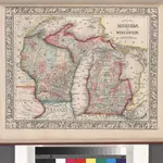 County map of Michigan, and Wisconsin.1860
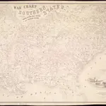 War chart of the Southern States showing the towns, rivers, rail-roads and common roads1862|B.B. Russell & Co.
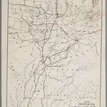 Map showing the connections of the Illinois Central Railroad with the railway lines to the Gulf ports / engraved by H.H. Lloyd & Co.1872|H. H. Lloyd & Co, New York, N.Y1:2 300 000
1600
1650
1700
1750
1800
1850
1900
1950
2000


