

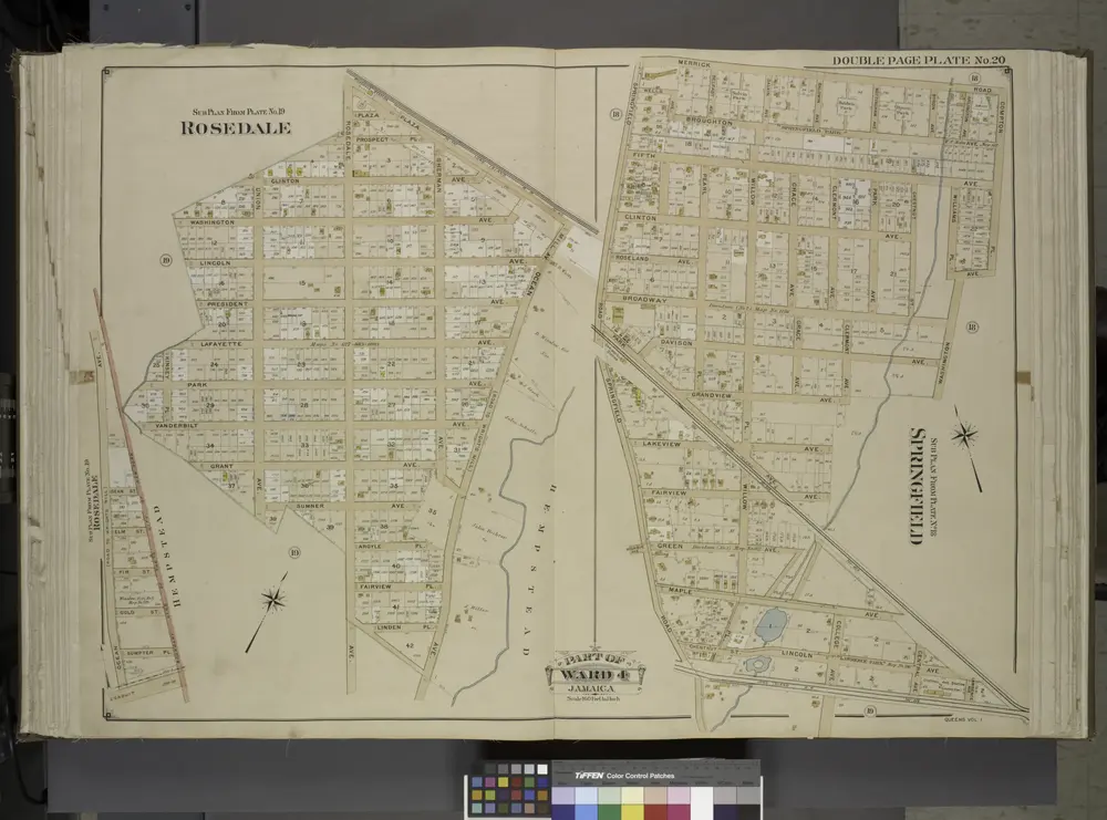
Queens, Vol. 1, Double Page Plate No. 20; Part of Ward 4; Jamaica; Sub Plan From Plate No. 19; Rosedale; [Map bounded by Plaza Mill Ave.; Including Ocean Ave.]; Sub Plan From Plate No. 18; Springfield; [Map bounded by Merrick Rd., Compton Pl.
1912
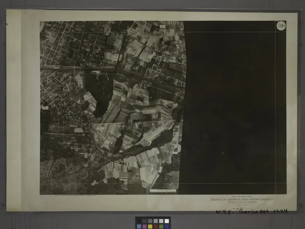
19D - N.Y. City (Aerial Set).
1924
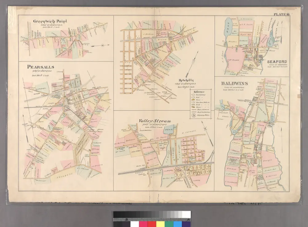
Plate 16: Greenwich Point, Town of Hempstead, Hewetts, Town of Hempstead, Seaford, Town of Hempstead, Pearsalls, Town of Hempstead, Valley Stream, Town of Hempstead and Baldwins, Town of Hempstead.
1891
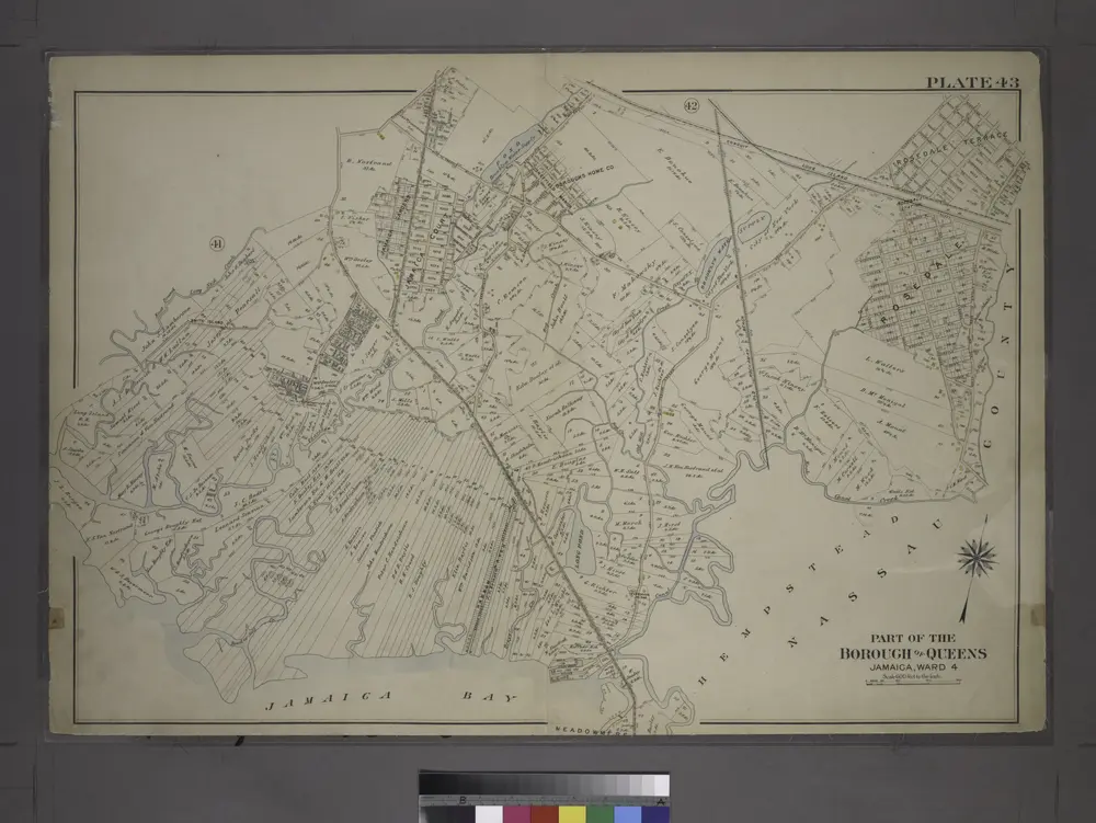
Part of the Borough of Queens, Jamaica, Ward 4.
1909
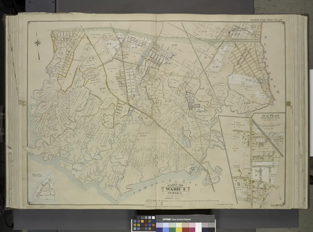
Queens, Vol. 1, Double Page Plate No. 19; Part Of Ward 4; Jamaica; [Map bounded by Conduit Long Island R.R., Boundary Line Of The City of New York; Including Hook Canal Creek, Jamaica Bay, Dead or Salt Creek.]; Sub Plan From Plate No. 17 [Map bou
1912
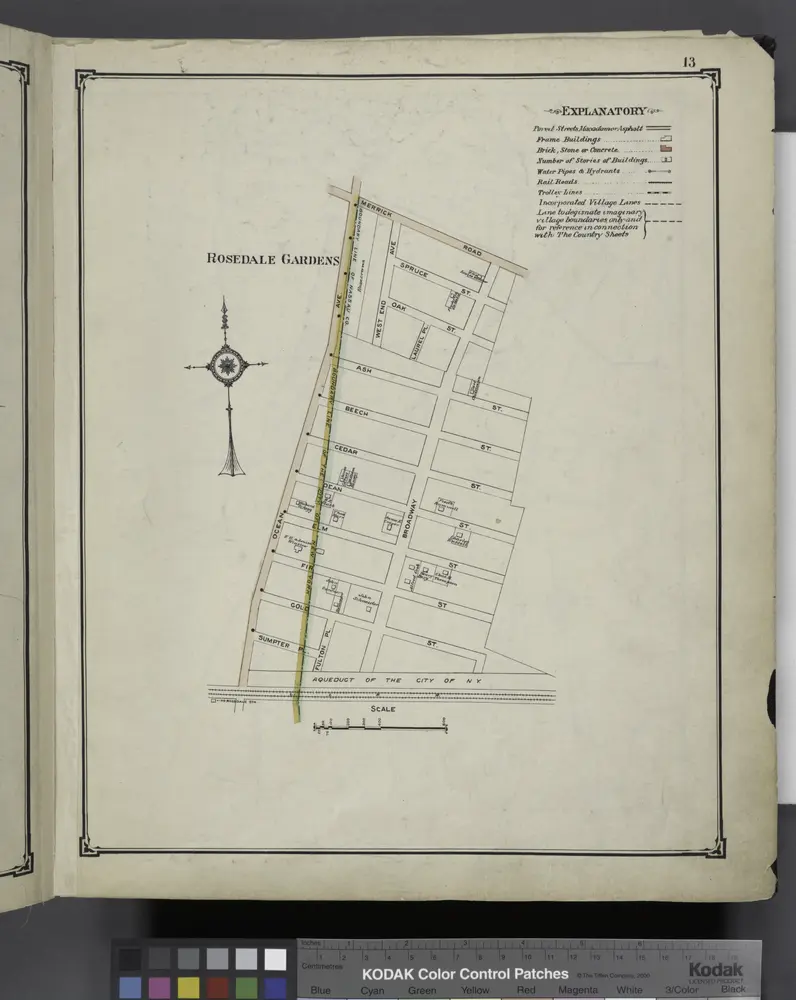
Rosedale Gardens
1914
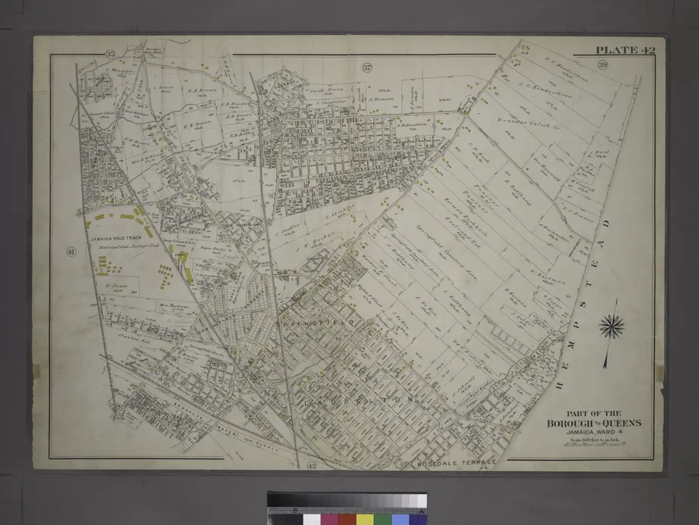
[Plate 42: Bounded by Central Avenue, (Springfield, Laurelton, Rosedale Terrace) Springfield Road, (Springfield Park, High View Park, Higbie Park), Higbie Avenue, Farmers Avenue, Merrick Plank Road, Locust Avenue and (Locust Manor, Cedar Manor) Smith Ave
1909
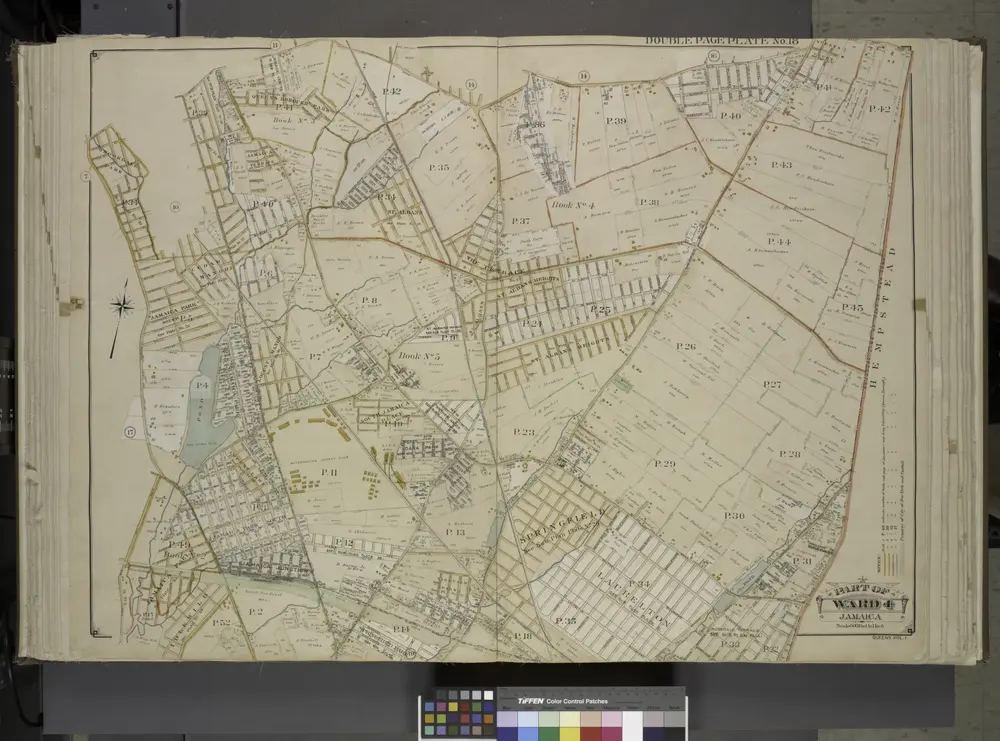
Queens, Vol. 1, Double Page Plate No. 18; Part of Ward 4; Jamaica; [Map bounded by South St., Country Road, Old Country Road, Jamaica Plank Road; Including Boundary Line Of City Of New York, Ocean Ave., Farmers Ave., Rockaway Turnpike, Th
1912
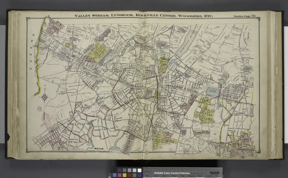
Valley Stream, Lynbrook, Rockville Centre, Woodmere, Etc.
1914
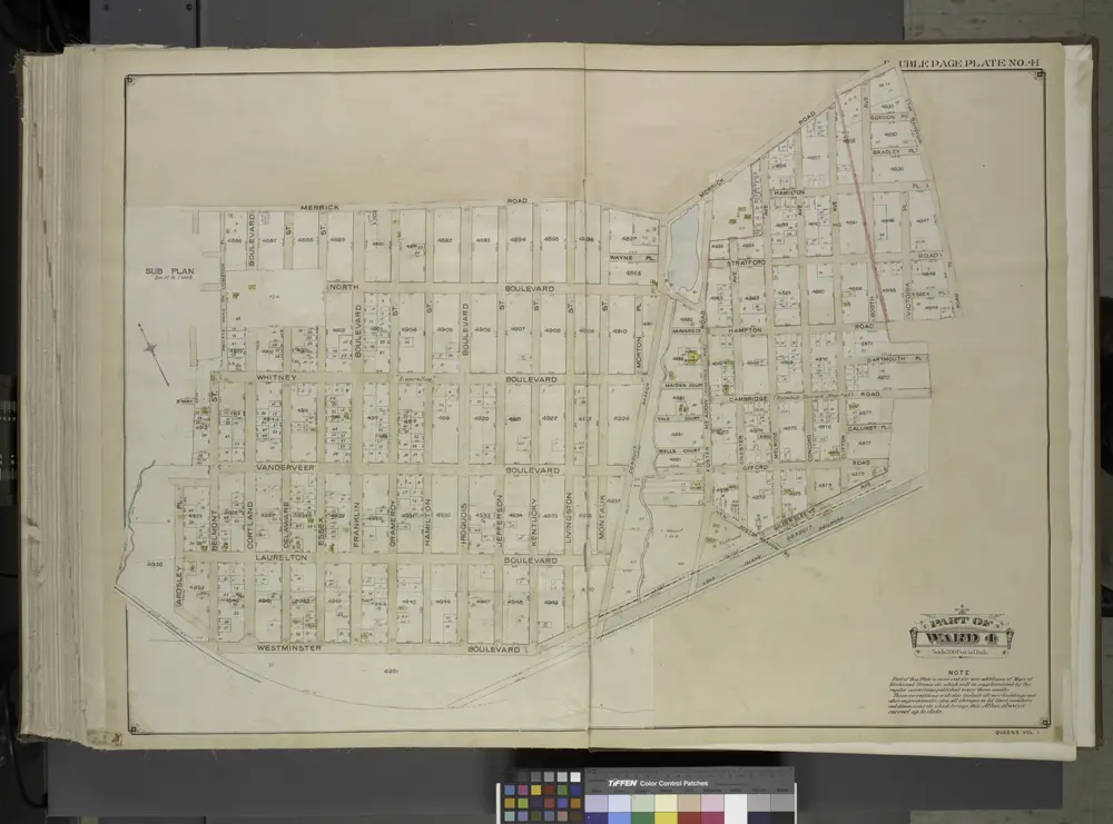
Queens, Vol. 1, Double Page Plate No. 41; Part of Ward 4; [Map bounded by Merrick Road, Road to Wrights Mill, Hampton Road, Darmouth Road, Cam Bridge Road, Calumet PL., Oxford Road, Gildersleeve Ave.; Including Westminster Boulevard, Ar
1912

