خرائط Oakwood, Montgomery County, Ohio
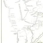 1851|Parkman, Francis
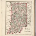 1874|Gray, Ormando Willis1:1 233 000
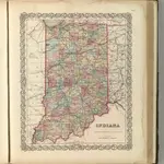 1857|Colton, G.W.1:1 280 000
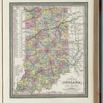 1855|Mitchell, Samuel Augustus1:1 370 000
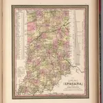 1850|Mitchell, Samuel Augustus1:1 411 705
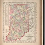 1857|Mitchell, Samuel Augustus1:1 400 000
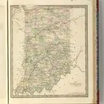 1848|Greenleaf, Jeremiah1:1 420 000