

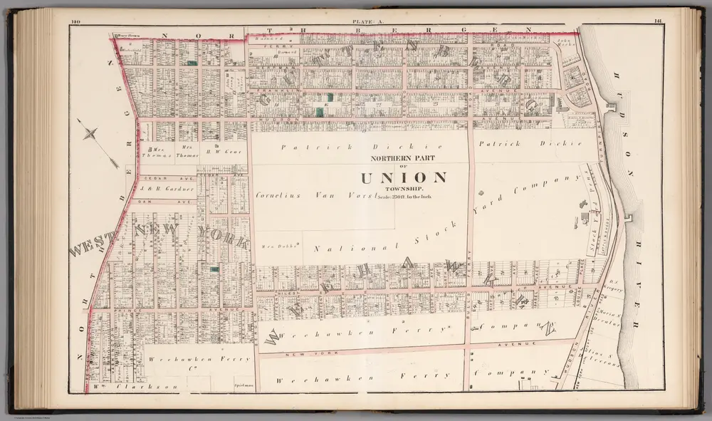
Northern Part of the Union Township - Plate A.
1873
Hopkins, G.M.
1:3k
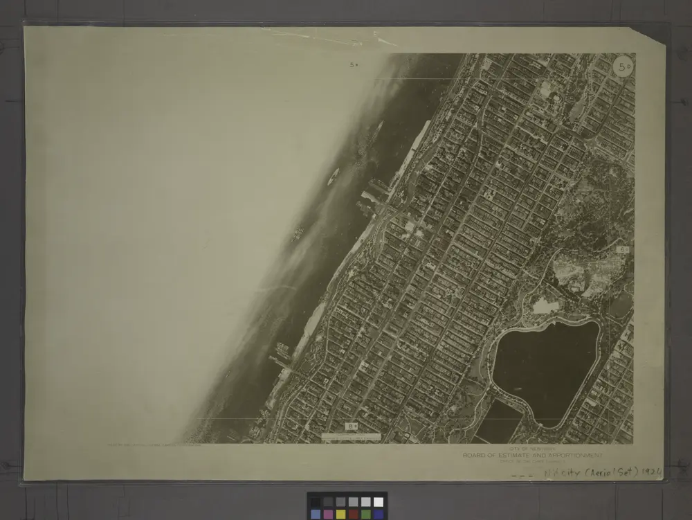
5D - N.Y. City (Aerial Set).
1924
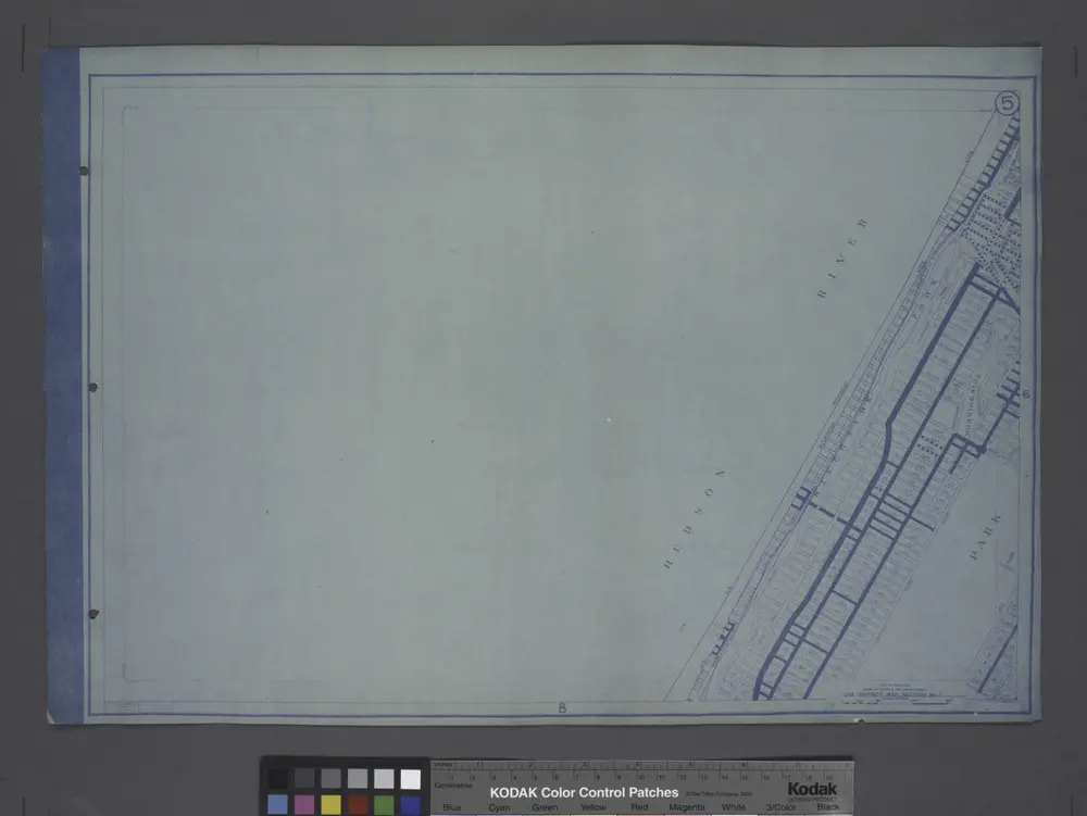
Use District Map Section No. 5
1916
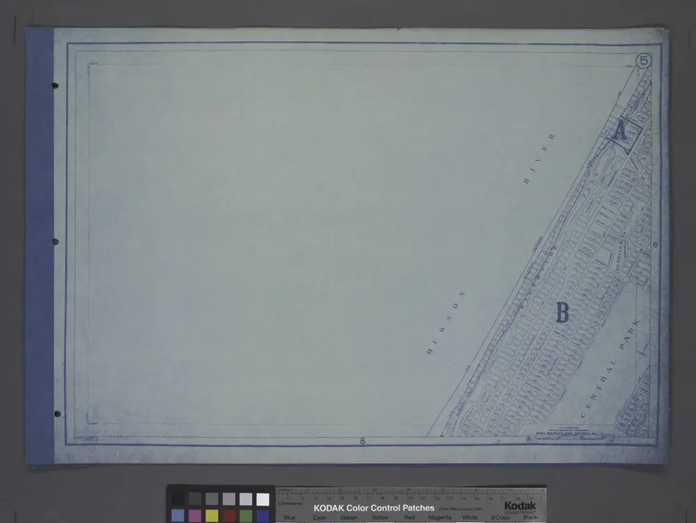
Area District Map Section No. 5
1916
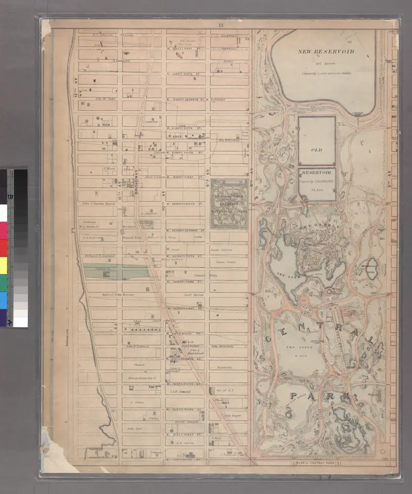
Sheet 13: [Bounded by W. Ninty First Street, (New Reservoir) 5th Avenue, Fifty Ninth Street and 12th Avenue.]
1867
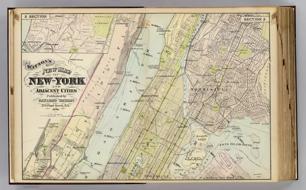
2 New York, etc.
1891
Watson, Gaylord
1:18k
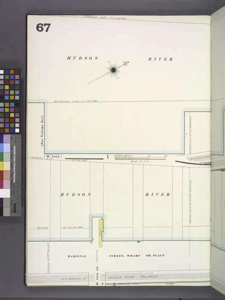
Manhattan, V. 7, Plate No. 67 [Map bounded by Hudson River, Marginal St.]
1902
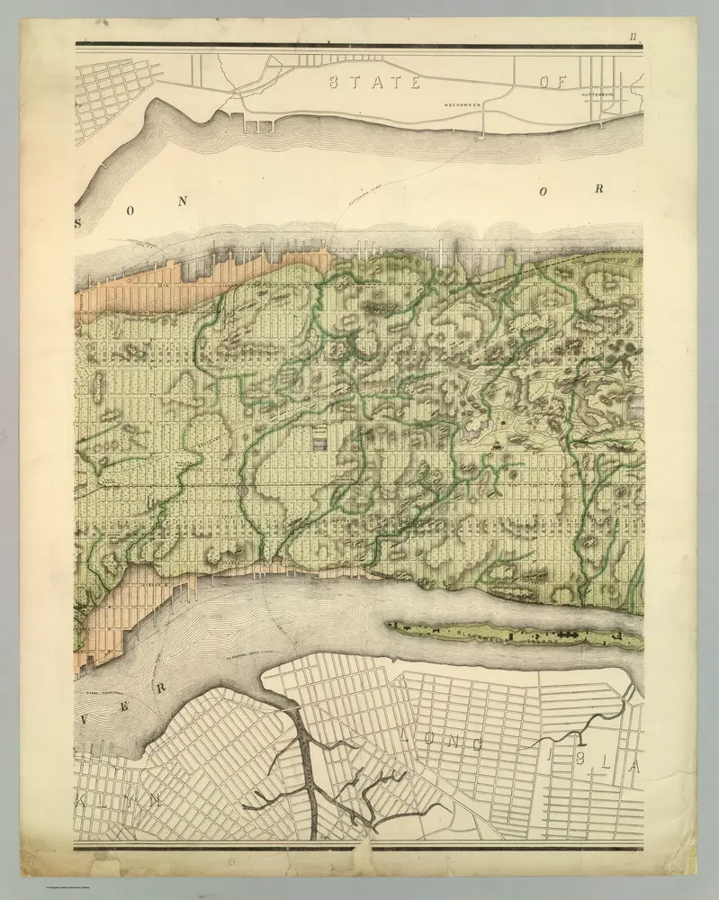
Topographical Atlas Of The City Of New York
1874
Viele, Egbert L.
1:12k
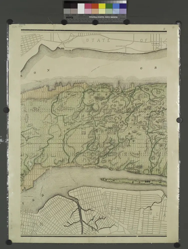
Topographical atlas of the city of New York, including the annexed territory showing original water courses and made land. / prepared under the direction of Egbert L. Viele.
1874
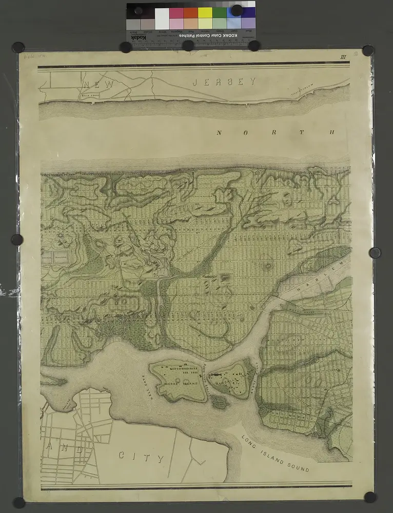
Topographical atlas of the city of New York, including the annexed territory showing original water courses and made land. / prepared under the direction of Egbert L. Viele.
1874

