خرائط هايمسهايم
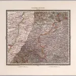 1834|Herder, Benjamin1:200 000
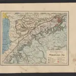
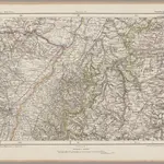 1870|Johannes Wilhelm Liebenow 1822-18971:300 000
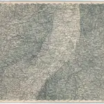
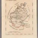 1825|Hermann, O.1:110 000
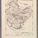 1825|Hermann, O.1:110 000
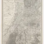 1859|Terrainzeichnung: Bach, Topograf und Hauptmann Lithografie: Rebmann und Sommer Herausgeber: K. statistisch-topografisches Büro1:1 500 000
 1841|Leonhard, Carl Cäsar von
 1875|Militärgeographisches Institut1:300 000