خرائط بيريفيل (كنتاكي)
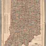 1874|Higgins, Belden & Co.
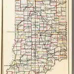
 1866|U.S. General Land Office1:1 140 480
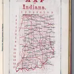 1866|Larrance, Isaac, 1804-18961:5 068 800
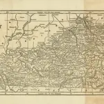 1850|COLLINS, Lewis.
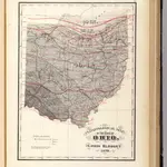 1872|Blodget, Lorin1:1 500 000
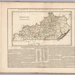 1826|Hassel, Georg, 1770-18291:1 360 000
 1863|FISHER, Richard Swainson.